• Atmospheric river may stall, causing long-duration moderate to heavy rain over parts of Oregon

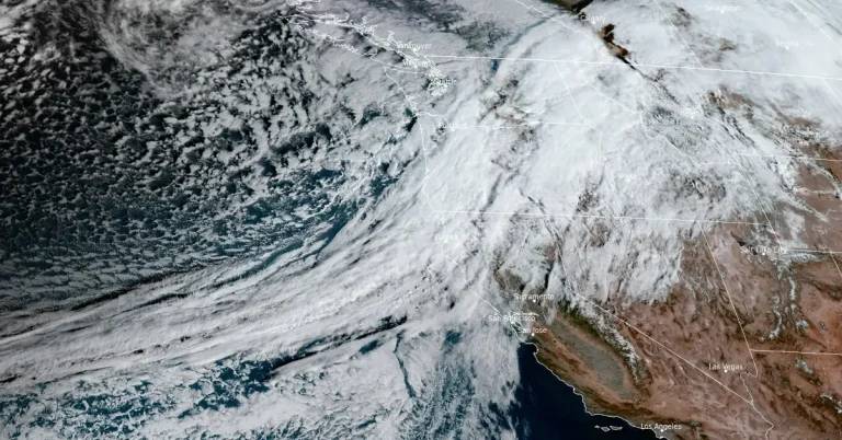
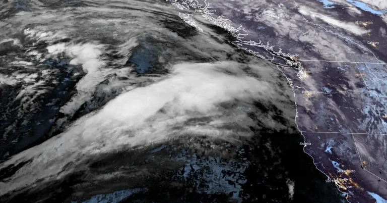
    The National Weather Service (NWS) in Medford, Oregon, is warning residents that the incoming atmospheric river could stall across the region, leading to a prolonged period of moderate to heavy rainfall. The highest amounts are expected in Curry County, with a potential threat that the Coquille River at Coquille could reach a minor flood stage.

  • Model predicts major atmospheric river for Pacific Northwest and Northern California

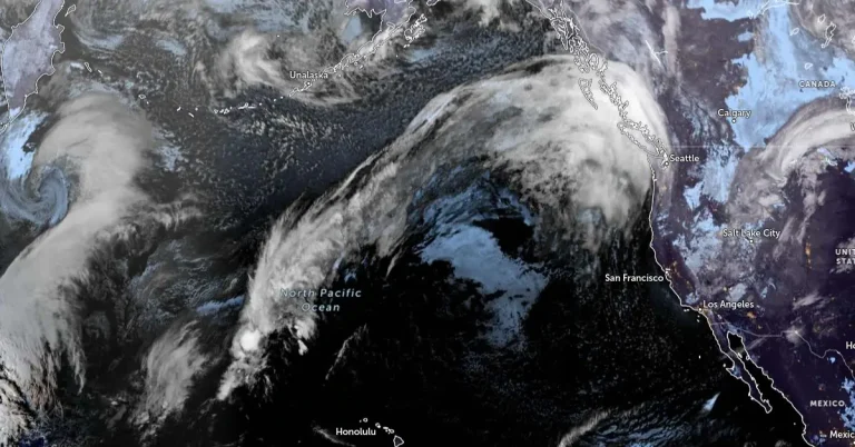
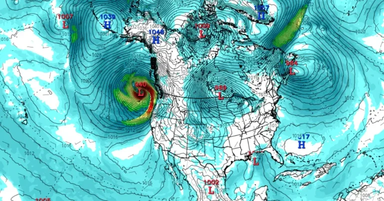
    The latest model guidance suggests a major atmospheric river could hit the Pacific Northwest and Northern California early next week, with the ECMWF EPS control member forecasting AR3-4 conditions from central Oregon to Northern California. Although timing and duration remain uncertain, 70% of EPS members predict AR4 or AR5 conditions in coastal southern Oregon, according to the Center for Western Weather and Water Extremes (CW3E).

  • Significant rain and snow event expected for Northern California and Pacific Northwest

    A strong Atmospheric River is set to bring significant low-elevation rain and high-elevation snow to the Pacific Northwest and Northern California beginning Tuesday evening, November 12, 2024. The system will continue moving eastward, impacting a wide swath of the western and central United States with varied precipitation, including rain, snow, and thunderstorms.

  • Edisto River crest breaks 1928 record, causing dam failures and damaging roads and bridges in Orangeburg, South Carolina

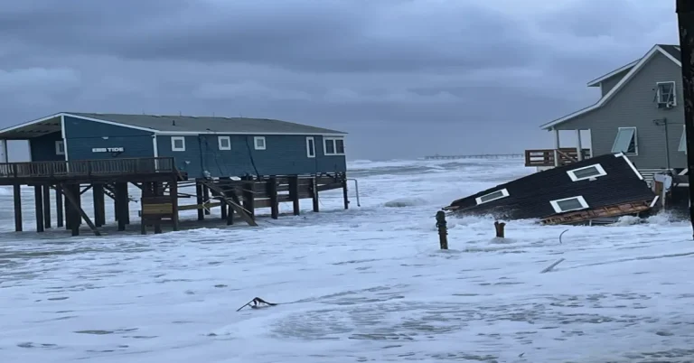
    A plume of moisture from Hurricane “Rafael” moved northward into the Southeastern United States and collided with a stationary front over South Carolina, causing intense rainfall in Orangeburg County on November 6 and 7, 2024. The extreme rainfall, totaling 180 – 380 mm (7 – 15 inches) in 24 hours, overwhelmed local ponds and dams, leading to failures that sent water downstream, damaging bridges and roads near Norway, South Carolina.

  • Impossible travel, near blizzard conditions, and historic snowfall totals expected in parts of New Mexico and Colorado

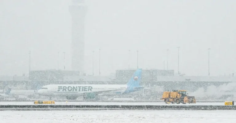
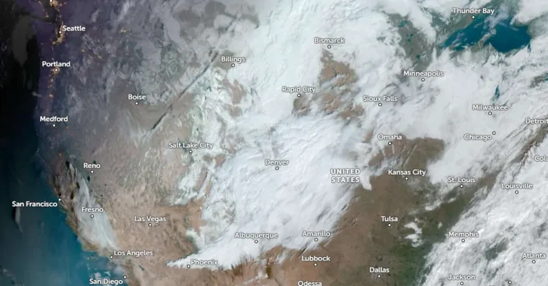
    A severe winter storm impacting parts of Colorado and New Mexico is expected to bring additional heavy snowfall on Friday, November 8, 2024. Parts of the area had already accumulated 25 – 50 cm (10 – 20 inches) of snow by Thursday night, November 7, prompting the Colorado governor to declare a disaster emergency for what could be Denver’s most severe snowstorm in 30 years. Snowfall rates of 2.5 – 5 cm per hour (1 – 2 inches per hour) are anticipated to continue across the region, with total snow accumulations forecast to reach 30 – 120 cm (1 – 4 feet) in some areas.

  • Long duration heavy snow in Southern Rockies and High Plains as winter storm intensifies, U.S.

    The National Weather Service has issued warnings for a prolonged snowfall event impacting the southern Rockies starting on Wednesday, November 6, 2024, as an upper-level low brings cold air and snow to high elevations in northern New Mexico and southern Colorado. Areas along the Colorado-New Mexico border could see several feet of snow.