• Atmospheric river forecast to make landfall over Washington and Oregon this weekend

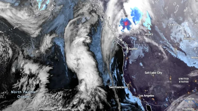
    An atmospheric river is forecast to bring significant precipitation to Washington and Oregon between Friday and Saturday, December 6 and 7, 2024, with the Olympic Peninsula and North Cascades expecting up to 127 mm (5 inches) of rainfall and AR2 conditions likely in southern Washington and northern Oregon. While confidence is high regarding the occurrence of the event, uncertainties remain in its duration, intensity, and precise timing due to variability among GEFS ensemble model predictions.

  • Record snowfall blankets parts of U.S. during Thanksgiving snowstorm

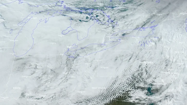
    A powerful lake-effect snowstorm fueled by record-warm water temperatures in the Great Lakes unleashed its full force over 2024 Thanksgiving weekend in the United States, burying parts of New York, Pennsylvania, and Michigan under more than 90 cm (3 feet) of snow. The city of Erie, Pennsylvania, experienced its snowiest day on record on Friday, November 29, receiving 57.4 cm (22.6 inches) of snow in 24 hours. The Arctic air colliding with the warm lake waters triggered intense snowfall rates of up to 100 mm (4 inches) per hour, creating hazardous conditions that are expected to persist until midweek.

  • Thanksgiving weekend Arctic blast in heartland, heavy lake-effect snow in Great Lakes

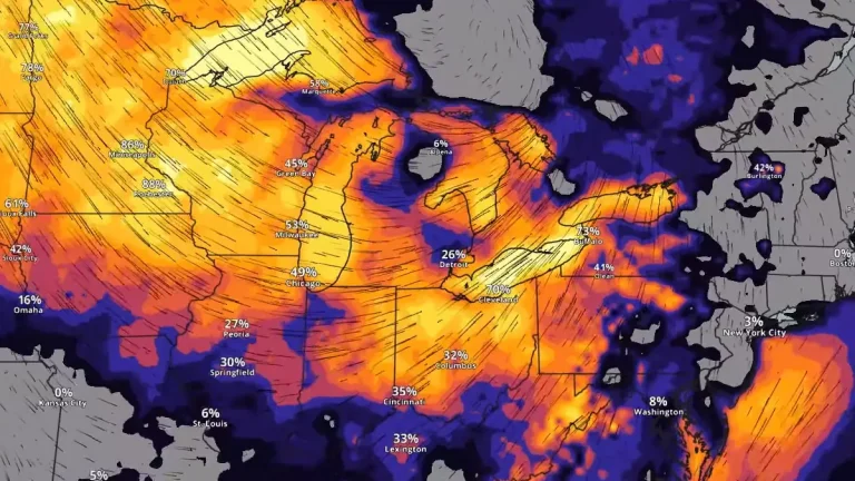
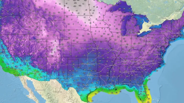
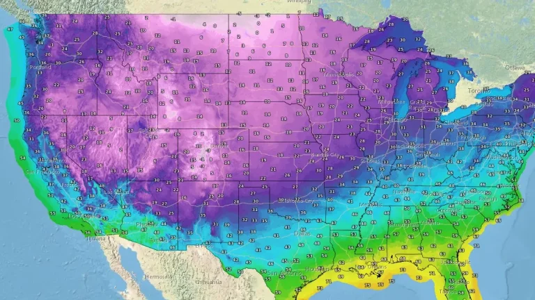
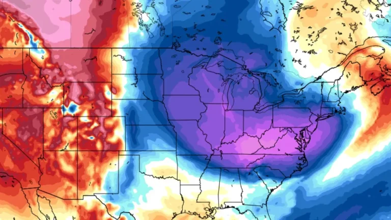
    The 2024 Thanksgiving weekend will bring a significant Arctic blast to the U.S. heartland, with dangerously cold temperatures and wind chills extending across the northern Plains and upper Midwest. This Arctic outbreak is expected to deliver the coldest conditions since February, lasting through the holiday weekend across the Northern Plains-Midwest and into parts of the South and East. The threat of heavy lake-effect snows across the Great Lakes continues to increase as well.

  • Extreme winter storm impacts expected in Southern Sierra Nevada

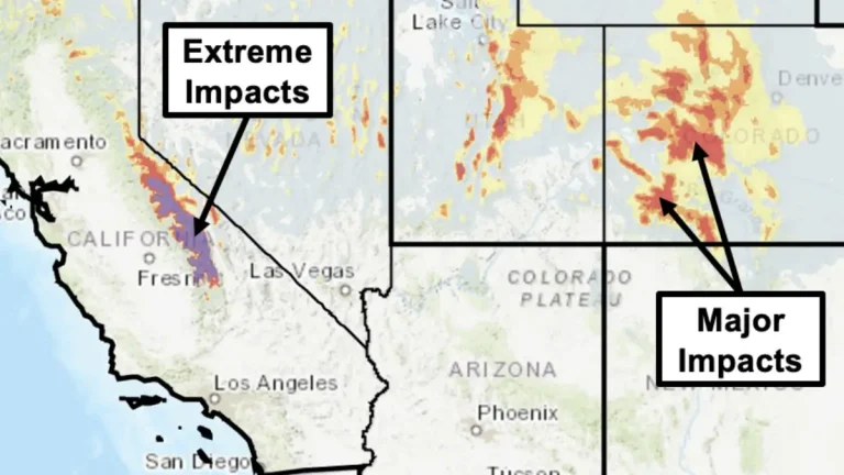
    The Center for Western Weather and Water Extremes has warned of an intense winter storm impacting the Southern Sierra Nevada and parts of the Intermountain West from November 25 to 28, 2024. Forecasts indicate over 180 mm (7 inches) of precipitation and snow accumulations exceeding 1.5 m (5 feet) at higher elevations, with flash flood and winter storm warnings in effect.