• Arctic polar vortex shows rare early signs of weakening and displacement

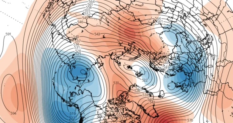
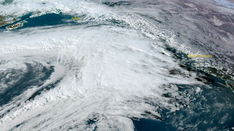
    Forecast data indicate an early weakening and displacement of the stratospheric polar vortex over the Arctic in October 2025, as a developing high-pressure anomaly over Greenland interacts with the circulation earlier than usual, increasing the chances of colder air movement toward the mid-latitudes of North America and Europe.

  • Back-to-back atmospheric rivers forecast to bring heavy rainfall and mountain snow to the Pacific Northwest and northern California

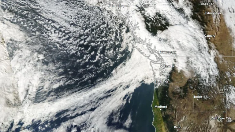
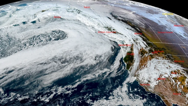
    The Pacific Northwest will see back-to-back atmospheric rivers (ARs) beginning late Thursday, October 23, 2025, bringing significant precipitation and unsettled weather conditions through the end of October.The Weather Prediction Center has issued a Marginal Risk of excessive rainfall for coastal areas of Washington, Oregon, and northern California as the AR approaches.

  • Severe storms produce tornadoes near De Roche, Arkansas, and southwest of Yazoo City, Mississippi

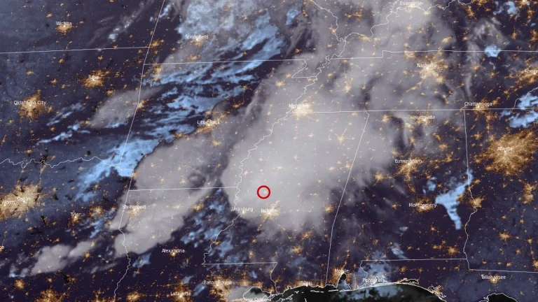
    Several tornadoes were reported across Arkansas, Louisiana, and Mississippi on the evening of October 18, 2025, including a radar-confirmed tornadic debris signature 3 km (2 miles) southwest of Yazoo City, Mississippi, at 21:34 LT. Earlier, a tornado caused structural damage in Hot Spring County, Arkansas, near De Roche, while another debris signature was detected near Warsaw, Louisiana, as supercells moved east across the Lower Mississippi Valley.

  • Record lava fountains reach 460 m (1 500 feet) during episode 35 of Kīlauea summit eruption, Hawai‘i

    Episode 35 of the ongoing Halemaʻumaʻu eruption at Kīlauea volcano began at 20:05 HST on October 17, 2025 (06:05 UTC on October 18), producing simultaneous fountains from the north and south vents that reached record heights of approximately 460 m (1 500 feet). The eruption cloud rose above 6 000 m (20 000 feet) while lava flows remained contained within the crater.

  • NWS warns of severe thunderstorms and flash flooding across central states

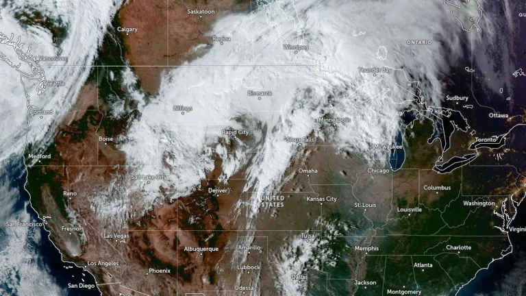
    A slow-moving storm system is tracking across the central United States and will continue through the weekend, bringing widespread showers and thunderstorms from the Great Lakes to the Mid-South. The National Weather Service (NWS) has issued Slight Risk areas for severe thunderstorms and excessive rainfall on Saturday, October 18, 2025, extending from the Ozarks into the mid-Mississippi River Valley, with potential for damaging winds, large hail, isolated tornadoes, and flash flooding.

  • Moderate-to-strong atmospheric river forecast to impact coastal Washington and Oregon, U.S.

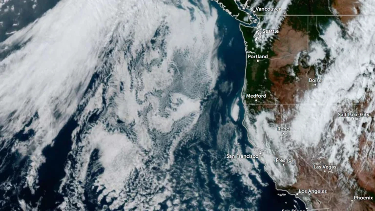
    An atmospheric river (AR) is expected to reach the Pacific Northwest (PNW) on Saturday, October 18, 2025, bringing heavy rain and elevated freezing levels above 2 400 m (8 000 feet) before lowering as the system moves east. 25–100 mm (1–4 inches) of rainfall is forecast over coastal Washington and Oregon, with orographic enhancement expected on the Olympic Peninsula and Northern Cascades.