• Shallow M6.1 earthquake hits South Sandwich Islands region

    A strong and shallow earthquake registered by the USGS as M6.1 hit South Sandwich Islands region at 03:29 UTC on August 14, 2018. The agency is reporting a depth of 25 km (21.7 miles). EMSC is reporting Mw6.1 at a depth of 30 km (18.6 miles). According to the USGS,…

  • Thermal anomaly on Mount Michael, possible strombolian activity

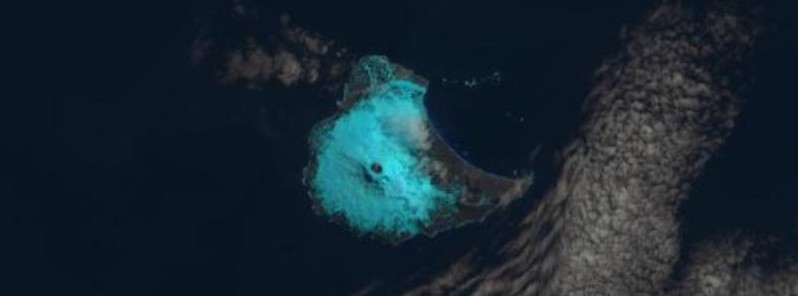
    A satellite image captured by NASA/USGS Landsat-8 on January 31, 2018 show a thermal anomaly present in the summit crater of Mount Michael volcano on Saunders Island, South Atlantic Ocean. "The anomaly is clearly an indicator that some elevated activity has…

  • Gas emission observed over Mount Michael, South Atlantic Ocean

    Satellite images acquired October 15, 2017 show what appears to be a gas emission originating from Mount Michael on Saunders Island, South Atlantic Ocean. Prior to August 2015, the most recent eruptive activity detected was in the second half of 2012. Gas emissions…

  • Very strong and shallow M7.4 earthquake hits South Georgia island region

    A very strong and shallow earthquake registered by the USGS as M7.4 hit South Georgia island region at 07:32 UTC on August 19, 2016. The agency is reporting a depth of 10 km (6.2 miles). The epicenter was located about 261 km (162 miles) W of South Georgia, 293 km…