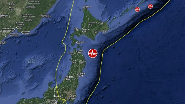
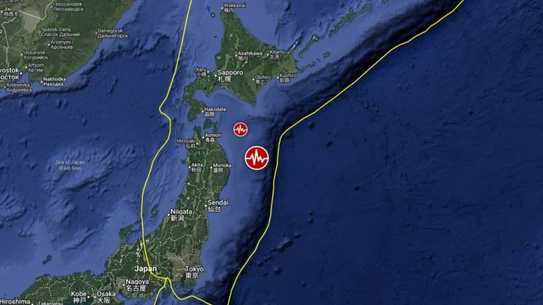
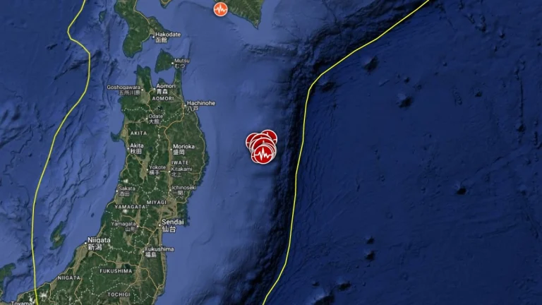
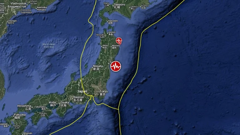
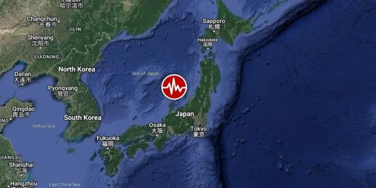
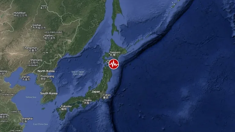
M6.0 earthquake hits near the east coast of Honshu, Japan

M6.0 earthquake hits near the east coast of Honshu, Japan

A strong earthquake registered by the JMA as M6.0 hit near the east coast of Honshu, Japan at 23:58 UTC on May 13, 2021 (08:58 JST, May 14). The agency is reporting a depth of 40 km (25 miles). USGS is reporting M6.0 at a depth of 32 km (20 miles); EMSC M6.0 at a…

Strong and shallow M6.1 earthquake hits near the east coast of Honshu, Japan

Strong and shallow M6.1 earthquake hits near the east coast of Honshu, Japan

A strong and shallow earthquake registered by the JMA as M6.1 hit near the east coast of Honshu at 20:39 UTC on April 19, 2020 (05:39 LT, April 20). The agency is reporting a depth of 50 km (31 miles). The USGS is reporting M6.4 at a depth of 41.7 km (25.9 miles);…

M 6.2 off the east coast of Honshu, Japan

M 6.2 off the east coast of Honshu, Japan

Strong and shallow earthquake M6.2 occurred on October 1 at 22:21:45 UTC off the east coast of Honshu, Japan. The epicenter was located 97 km (60 miles) ENE of Miyako (39.853°N, 143.047°E) at depth of 9.7 km (6.0 miles). JMA Japan reports a M6.3 at a depth of 10

M 6.0 earthquake near the east coast of Honshu, Japan

M 6.0 earthquake near the east coast of Honshu, Japan

USGS reported magnitude 6.0 earthquake with depth of 10 km at 06:21 (UTC, Feb. 14, 2012) near the east coast of Honshu, Japan. Epicenter was 70 km of the coast, 165 km of Tokyo, 136 km of Fukushima nuclear plant. Earthquake-report.com calls it moderately dangerous

Magnitude 6.0 – Off the east coast of Honshu, Japan

Magnitude 6.0 – Off the east coast of Honshu, Japan

Only hour an half after strong 6.6 magnitude earthquake, another 6.0 earthquake followed by half dozen of 5.5+ magnitude earthquakes struck near east coast of Honshu, Japan.USGS reporting that epicenter was 137 km (85 miles) ESE of Hachinohe,  172 km (106 miles)

Magnitude 6.6 – Near east coast of Honshu, Japan

Magnitude 6.6 – Near east coast of Honshu, Japan

An earthquake magnitude 6.6 struck 108 km (67 miles) ESE of Hachinohe, 149 km (92 miles) ENE of Morioka, 177 km (109 miles) ESE of Aomori, Honshu, 574 km (356 miles) NNE of Tokyo (40.288°N, 142.727°E) according to USGS. Epicenter was 36.3 km (22.6 miles)

Tropical storm Talas enters the Sea of Japan

Tropical storm Talas enters the Sea of Japan

Tropical Storm Talas formed over the western Pacific Ocean on August 25, 2011. By September 1, storm clouds had reached the southern shores of Japan. The Moderate Resolution Imaging Spectroradiometer (MODIS) on NASA’s Aqua satellite took this picture of the storm the