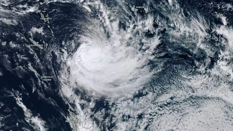
Tropical Cyclone Vaianu expected to bring damaging winds and heavy rain to New Zealand this weekend
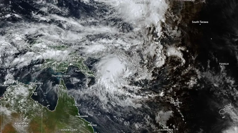
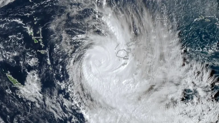
Severe Tropical Cyclone Vaianu was located south of Fiji on April 8, 2026, producing localized flooding while weakening under strong wind shear. The system is forecast to transition into an extra-tropical system before moving toward New Zealand, where damaging winds, heavy rain, and hazardous coastal conditions are expected during the weekend of April 11-12.