I am an Assistant Editor and Severe Weather & Science Journalist at The Watchers, specializing in real-time severe weather coverage, geophysical event reporting, and research-driven scientific analysis. You can reach me at rishav(at)watchers(.)news.

  • Kona low prompts statewide closures as severe weather threat intensifies across Hawaii

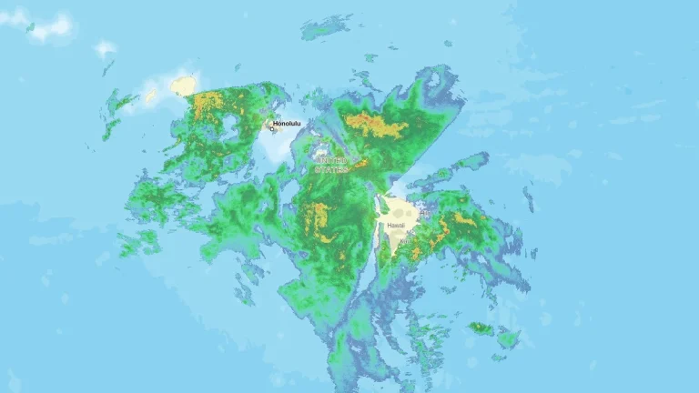
    A powerful Kona low on Friday, March 13, 2026, bringing widespread severe weather across the islands. The National Weather Service issued a Winter Storm Warning for the Big Island summits, where heavy snow and ice are forecast above 3 350 m (11 000 feet). Forecasters warned that persistent rainfall bands and severe thunderstorms could trigger flash flooding while damaging wind gusts affect multiple islands.
  • Winter Storm Warnings remain in effect from Idaho and Montana to the Upper Midwest

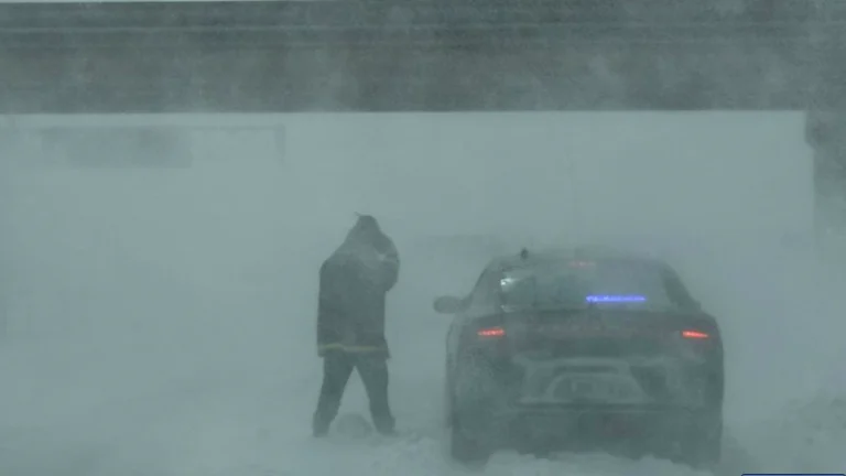
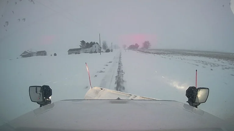
    Winter Storm Warnings remained in effect across parts of Montana, Idaho, Wisconsin, Michigan, Minnesota, and Wyoming on Friday, March 13, 2026, as a broad winter storm brought heavy snow, blowing snow, and hazardous travel conditions from the northern Rockies into the Upper Midwest. Forecast totals ranged from several cm in some lower elevations to 150 cm (5 feet) in parts of Idaho’s higher terrain, while parts of Montana’s mountain ranges were forecast to receive up to 120 cm (4 feet).

  • Major mid-March blizzard forecast to bring potentially record snowfall to parts of the Upper Midwest and Great Lakes

    A major winter storm is forecast to develop over Wyoming on Saturday, March 14, 2026, before expanding into the northern Plains and Upper Midwest by Sunday, March 15, and reaching the Great Lakes by Monday, March 16. WPC said embedded snow bands could produce snowfall rates of 2.5–7.6 cm (1–3 inches) per hour, with blizzard or near-blizzard conditions possible as wind gusts reach about 80 km/h (50 mph), and parts of the core snow band could receive more than 60 cm (24 inches) of snow.

  • Long-duration atmospheric river impacts Washington and Oregon with heavy rain, snow and flood risk, U.S.

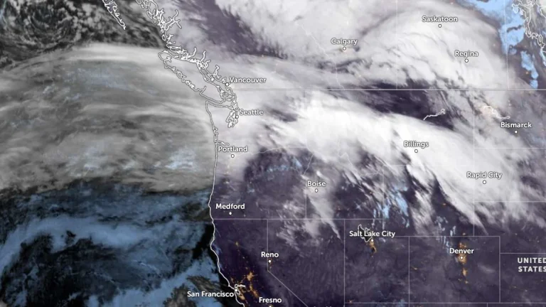
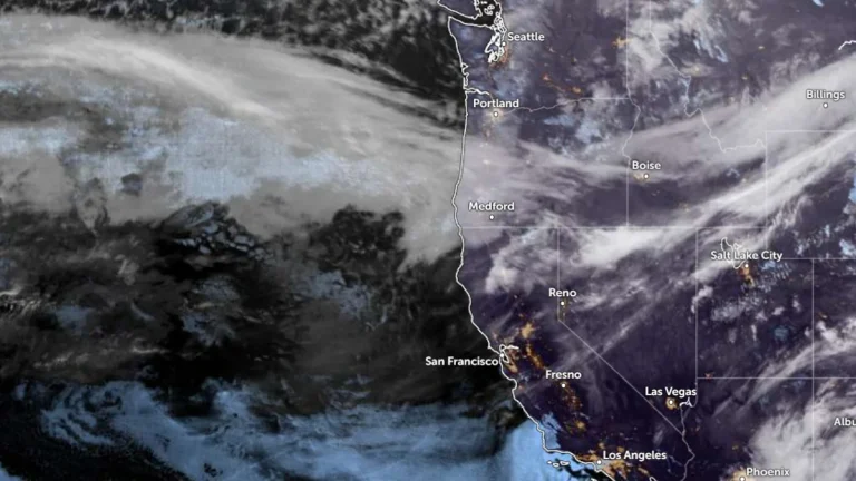
    An atmospheric river made landfall in the Pacific Northwest during the morning of March 11, 2026, bringing heavy rain and snow across portions of Washington and Oregon. Forecasts show that the event will continue affecting the region through early March 14, producing significant precipitation totals, flooding concerns, and major winter weather impacts in mountainous terrain.

  • Winter Storm Warnings issued from the Rockies to the Upper Midwest and Northeast

    Winter Storm Warnings have been issued from the Rocky Mountains to the Upper Midwest and parts of the Northeast, with heavy snow, strong winds, and mixed precipitation forecast through March 14, 2026. Warnings will remain in effect from March 12 to 14 across much of Montana, Wisconsin, Michigan, Minnesota, and Maine, with more than 90 cm (3 feet) of snow forecast in some areas.

  • Destructive tornado damages homes in Kankakee County, Illinois, leaving thousands without power

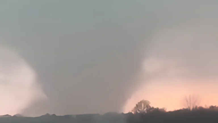
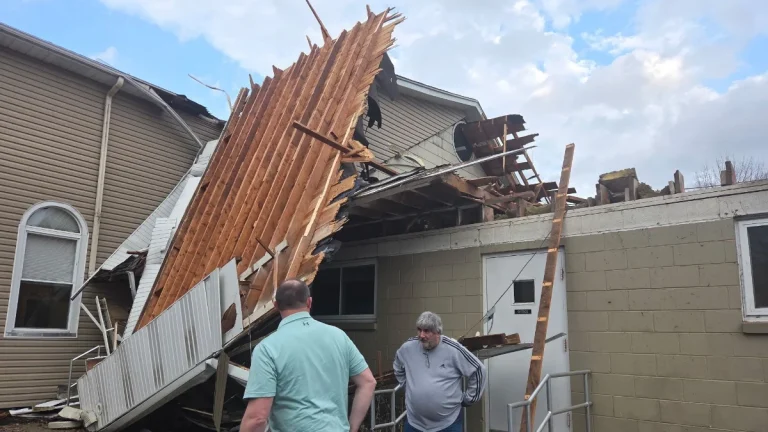
    A destructive tornado struck Kankakee County, Illinois, during severe storms on March 10, 2026, causing significant structural damage and leaving more than 7 000 customers without power. The tornado tracked through the southwest portion of Kankakee and crossed into northwestern Indiana near Lake Village, damaging homes and infrastructure.

  • Atmospheric rivers forecast to bring heavy rain and snow to the Pacific Northwest through mid-March

    Two atmospheric rivers are forecast to hit the Pacific Northwest beginning late March 10, 2026, bringing heavy rainfall to coastal areas and significant snowfall to higher elevations in Washington and Oregon. Precipitation totals of 180–380 mm (7–15 inches) are forecast in mountainous regions, with the potential for river rises and localized flooding through the week.

  • Severe flooding kills 42 across Kenya as heavy rains trigger flash floods in Nairobi

    Severe flooding killed at least 42 people across Kenya by March 9, 2026, after heavy rains triggered flash floods in Nairobi and other parts of the country over the weekend. Available reporting indicated that about 25–26 of the deaths were recorded in the capital, where floodwaters swept away vehicles, disrupted transport, and forced large-scale rescue operations.

  • Union City tornado becomes the earliest EF-3 on record for Michigan

    The deadly tornado that struck Union City, Michigan, on March 6, 2026, was rated EF-3 after damage surveys by the National Weather Service (NWS). It is the earliest EF-3 recorded in Michigan and the strongest to strike the state in 49 years, with estimated peak winds exceeding 247 km/h (160 mph). Meanwhile, the tornado in Edwardsburg was rated EF-1, and an EF-2 rating was given to the Three Rivers tornadoes.