
M6.2 earthquake hits South Sandwich Islands region
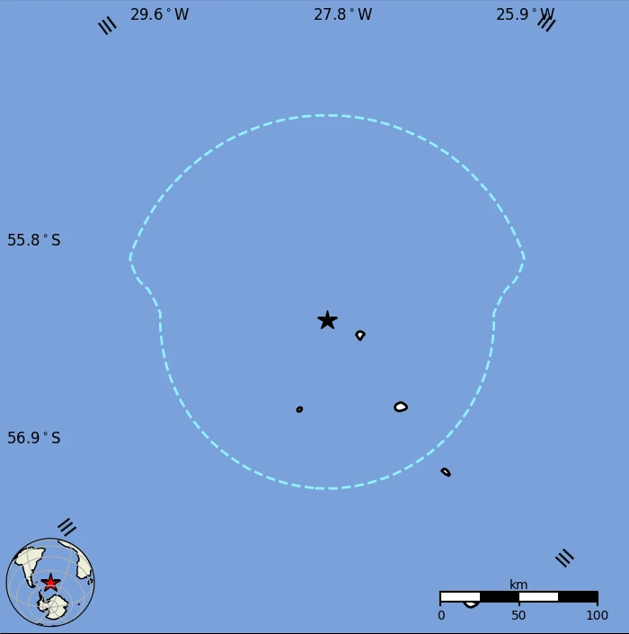
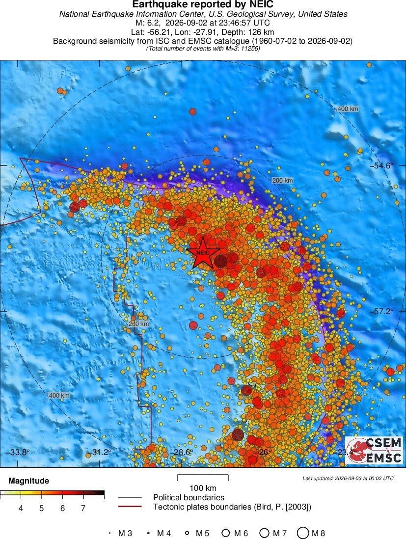
A strong earthquake registered by the USGS as M6.2 hit the South Sandwich Islands region at 23:46 UTC on September 2, 2026. The agency is reporting a depth of 126 km (78 miles). EMSC is reporting the same magnitude and depth.

Epicenter of M6.2 earthquake in South Sandwich Islands region on September 2, 2026. Credit: TW/SAM, Google
The epicenter was located 2 410 km (1 497 miles) SW of Edinburgh of the Seven Seas (population 271), 2 493 km (1 550 miles) ENE of Ushuaia (population 56 825), 2 498 km (1 552 miles) E of Río Grande (population 52 681), 2 687 km (1 670 miles) E of Río Gallegos (population 95 796), and 2 702 km (1 679 miles) E of Puerto Deseado (population 10 237).
The USGS issued a Green alert for shaking-related fatalities and economic losses. There is a low likelihood of casualties and damage.
Overall, the population in this region resides in structures that are a mix of vulnerable and earthquake-resistant construction.
The predominant vulnerable building types are adobe block with concrete bond beam and unreinforced brick with concrete floor construction. No economic loss estimate or secondary hazard information is available.
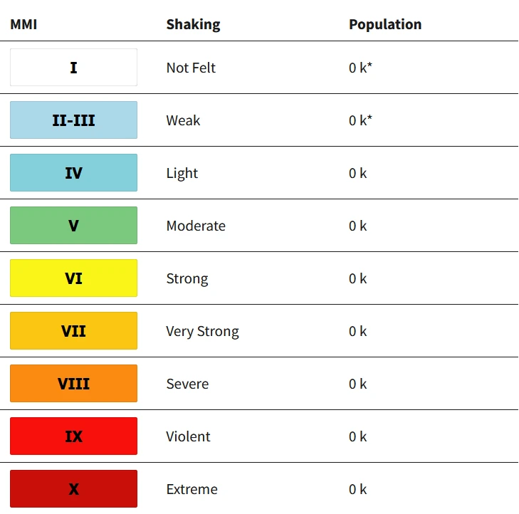
Estimated population exposure to earthquake shaking
Regional seismicity
References:
1 M6.2 earthquake South Sandwich Islands region – USGS – September 2, 2026
2 M6.2 earthquake South Sandwich Islands region – EMSC – September 2, 2026

Rishav Kothari is Editor-in-Chief of The Watchers, where he runs the newsroom and covers earthquakes, volcanoes, severe weather and space weather.
