I am an Assistant Editor and Severe Weather & Science Journalist at The Watchers, specializing in real-time severe weather coverage, geophysical event reporting, and research-driven scientific analysis. You can reach me at rishav(at)watchers(.)news.

  • Flood warnings and advisories issued across Indiana, Ohio, and West Virginia after heavy rainfall

    The National Weather Service (NWS) issued numerous flood warnings on Wednesday, March 4, 2026, following 50–100 mm (2–4 inches) of rainfall across Indiana, Ohio, and West Virginia. Several rivers, including the East Fork White River, White River, and Big Blue River, are above flood stage, with additional rainfall forecast through the end of the week.
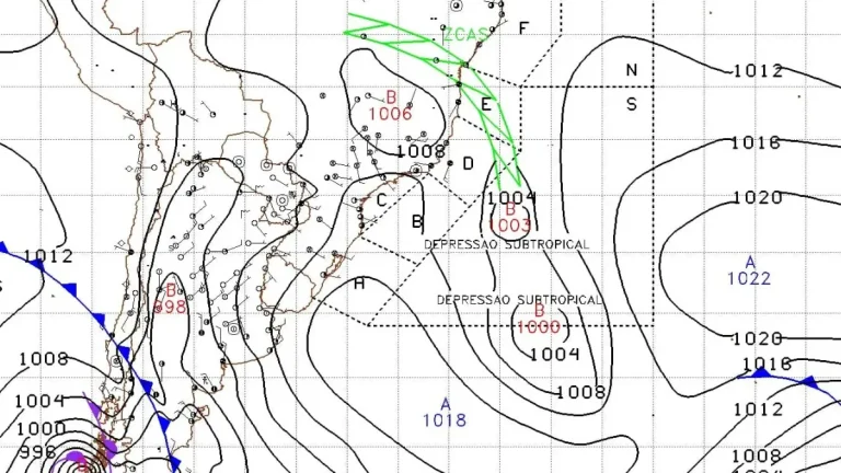
  • Two subtropical systems active simultaneously in South Atlantic, first such overlap documented in modern monitoring era

    Subtropical Storm Caiobá formed off southern Brazil on March 2, 2026, after two subtropical depressions developed simultaneously in the South Atlantic. According to Metsul Meteorologia and available South Atlantic cyclone records, no previous instance of simultaneous subtropical depressions has been documented since formal monitoring and classification began. Caiobá moved away from the coast of Brazil without any major impacts.

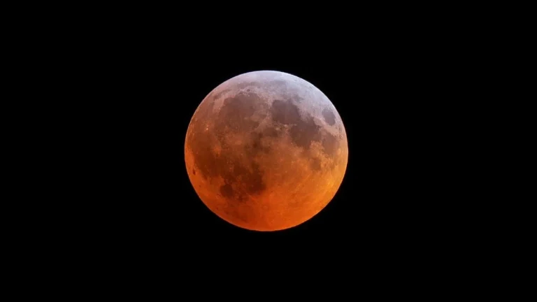
  • Live watch: Blood moon total lunar eclipse of March 3, 2026

    A blood moon total lunar eclipse occurring on March 3, 2026, will peak at 10:57 UTC, after the Moon enters totality at 10:29 UTC and remains fully immersed in Earth’s shadow for approximately 56 minutes. The event will be visible from much of Asia and Oceania, with live streams providing real-time views as totality unfolds.

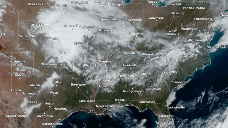
  • Winter weather impacts Appalachians and Mid-Atlantic while severe storm risk expands across parts of Oklahoma and Kansas

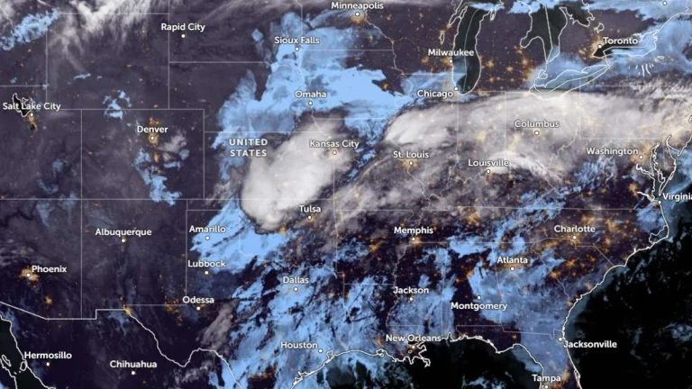
    A lifting frontal boundary draped from the southern Plains to the Mid-Atlantic is producing a swath of mixed winter precipitation across the Ohio and Tennessee Valleys on March 2, 2026, while setting the stage for isolated severe thunderstorms in Oklahoma and Kansas on March 3. Winter weather advisories are in effect from Indiana to Pennsylvania, with ice accretion possible across the higher terrain of the Appalachians, according to the Weather Prediction Center.

  • Persistent slab avalanche danger expected across the Cascades this weekend

    Persistent slab avalanche hazards will be the main concern across the Cascade Range this weekend, according to the Northwest Avalanche Center. Forecasters say buried weak layers and recent wind loading have brought several zones close to a “tipping point,” warning that human-triggered avalanches remain possible even under clear skies.

  • Polar vortex split to impact Northern Hemisphere weather in March 2026

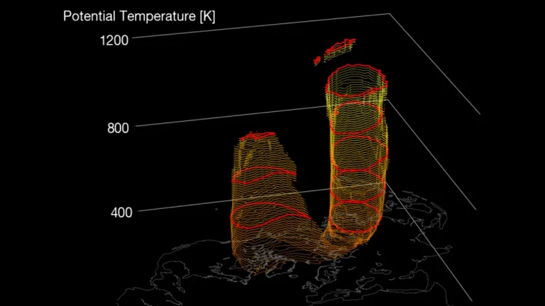
    Another warming of the Arctic stratosphere is now underway, with the polar vortex forecast to undergo a final split in March 2026. The zonal mean wind reversal around 60°N and 10 hPa is expected between February 28 and March 1, with its impacts propagating into the troposphere, likely shifting weather patterns over Europe and North America.

  • Vanuatu issues Red alert for Tafea Province as Tropical Cyclone Urmil intensifies

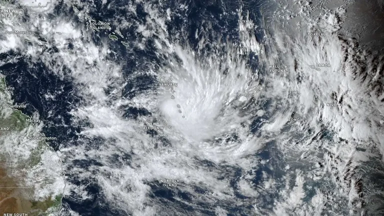
    Tropical Cyclone Urmil formed on February 27, 2026, south of Vanuatu, prompting a Red Alert for Tafea Province as the system began strengthening over the region. At 09:00 UTC, Urmil had intensified to 102 km/h (63 mph) and was moving southeast at about 15 km/h (9 mph). The cyclone is forecast to strengthen further over open waters between Vanuatu and Fiji, potentially reaching Category 2 intensity.

    Urmil is the first named storm of the 2025–26 South Pacific cyclone season. It set a new record as the latest-ever first named cyclone in the basin, surpassing Cyclone Bart, which was named on February 21, 2017.