
Ice Storm Warning: Significant icing expected across the Laurel Highlands and western Alleghenies, Pennsylvania
Multiple Ice Storm Warnings are in effect across western and central Pennsylvania from Friday, December 26, 2025, until early Saturday, December 27, 2025. Up to 8 mm (0.3 inches) of ice accumulation are forecast to create treacherous travel conditions, power outages, and tree damage.
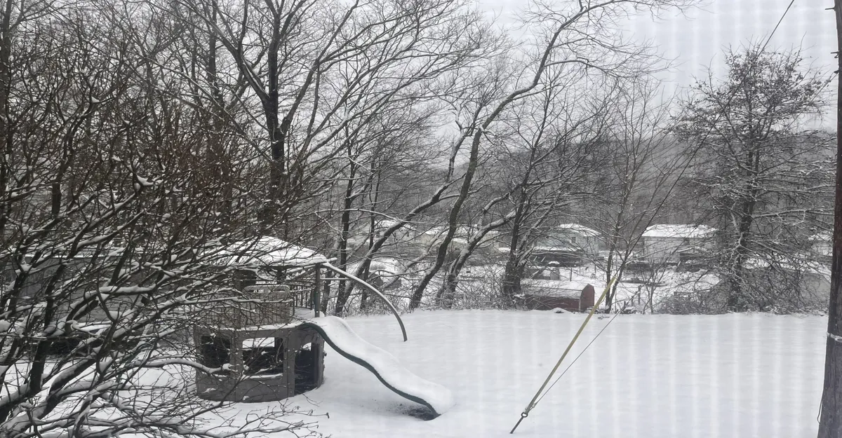
Image credit: Levi
The National Weather Service (NWS) office in State College issued an Ice Storm Warning from 10:00 EST on Friday to 07:00 EST Saturday. Counties include Warren, McKean, Elk, Clearfield, Cambria, and Somerset, covering the Laurel Highlands and western Alleghenies.
Meanwhile, the NWS Pittsburgh issued a warning for the same time period for Venango, Forest, Clarion, Jefferson, Armstrong, Indiana, and the higher elevations of Westmoreland and Indiana counties.
Another Ice Storm Warning will be in effect for Erie and Crawford counties from 10:00 EST on December 26 to 01:00 EST on December 27.
Icing could begin as early as late morning on December 26, affecting both morning and evening commutes, with hazardous road conditions persisting into the night.
A 6–9 hour period of freezing rain, with total ice accumulations of 2–8 mm (0.1–0.3 inches), is forecast across the warning areas, with higher isolated totals possible in elevated terrain. Minor sleet and snow totals under 25 mm (1 inch) are also possible during the start of the warning period.
The most dangerous conditions are expected Friday afternoon through evening, when freezing rain rates will peak. “Travel could be nearly impossible,” the NWS warned.
Temperatures across the region are forecast to remain near -1 °C (30 °F) through Friday evening before gradually rising above freezing overnight, bringing an end to the event by early Saturday morning.
Residents in affected counties are advised to prepare for potential power disruptions, avoid unnecessary travel in the warning areas.
References:
1 Ice Storm Warning – NWS – December 26, 2025

Rishav Kothari is Editor-in-Chief of The Watchers, where he runs the newsroom and covers earthquakes, volcanoes, severe weather and space weather.
Published in the last 24 hours
- High Risk of excessive rainfall covers Florida’s Space Coast as St. Johns River near Cocoa reaches 5.67 m
- Asteroid 2026 WJ to pass Earth at 1.7 lunar distances at 04:20 UTC on November 22, with 2026 WD following at 4.4 lunar distances on November 23
- Cyclone Akvan crossed the north Andhra Pradesh and south Odisha coasts close to Gopalpur on November 20 with 70-80 km/h winds gusting to 90, and has weakened into a deep depression
- A broad low over southeastern Florida and the northwestern Bahamas has a 30 percent chance of subtropical or tropical development within 48 hours and a 50 percent chance within 7 days, the National Hurricane Center says
