
Widespread Arctic air mass with frigid temperatures and brutal wind chills affecting the United States
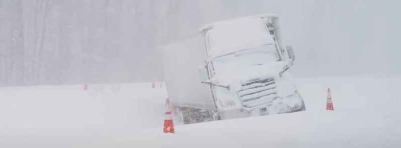
Image credit: Storm Chasing Video (stillshot)
The main theme this coming week will be the continuation of the widespread arctic air mass with frigid temperatures and dangerous wind chills consuming the Central U.S., especially the Upper Midwest, the National Weather Service (NWS) warns. This dangerous winter weather is affecting 100 million people. The bitter cold will gradually advance southward to Texas and the western Gulf Coast region, spread into much of the Northwestern U.S., and may begin to reach the East next weekend.
Residents across the Northern Plains and Upper Midwest will start off the work week with continued below-average temperatures and brutal wind chills, NWS meteorologist Snell noted early Monday morning, February 8, 2021.
Wind Chill Advisories and Warnings remain in effect from Montana to the U.P. of Michigan, with wind chill values well below zero and as low as -45 °C (-50 °F) at times across this region.
While not as extreme, this cold airmass stretches as far south as Oklahoma and as far east as the Ohio Valley, Snell said.
Thanks to a strong high-pressure system and constant flow of bitter Arctic air from southwest Canada, widespread temperatures 10 – 15 °C (20 to 30 °F) below average are expected across these areas.
Unfortunately, these below-average temperatures don't appear to moderate or exit the region in the foreseeable future.
With cold air in place across the northern U.S. and a stalled frontal boundary bisecting the middle of the country, multiple rounds of wintry precipitation are expected from the Southern/Central Plains to the Northeast.
"Starting with today, light snowfall is expected to continue across the Northern Rockies and add to the recent fresh snowpack that has accumulated over the last several days," Snell said.
Winter Weather Advisories and Avalanche Warnings are in effect across much of the mountainous terrain in Montana and northern Idaho.
Light snow will also be found across the Central Plains and Midwest today as a wave of low pressure develops along the frontal boundary and moves toward the Northeast by Tuesday.
Generally, around 5 – 10 cm (2 to 4 inches) of snow can be expected for these locations, with higher amounts up to 15 cm (6 inches) possible across the Northeast.
A mix of sleet, snow, and freezing rain will be possible across northeast Oklahoma and southern Missouri through tonight as well.
By Wednesday morning, another round of wintry weather is expected to develop across similar regions from the southern Plains to Midwest.
More impactful freezing rain accretion will be possible and this time stretch from northeast Oklahoma to northern Kentucky.
Forecast models
I'm a dedicated researcher, journalist, and editor at The Watchers. With over 20 years of experience in the media industry, I specialize in hard science news, focusing on extreme weather, seismic and volcanic activity, space weather, and astronomy, including near-Earth objects and planetary defense strategies. You can reach me at teo /at/ watchers.news.
Commenting rules and guidelines
We value the thoughts and opinions of our readers and welcome healthy discussions on our website. In order to maintain a respectful and positive community, we ask that all commenters follow these rules.