
M6.6 earthquake hits Santa Cruz Islands at intermediate depth, Solomon Islands
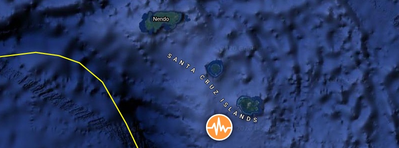
Image credit: TW/SAM, Google
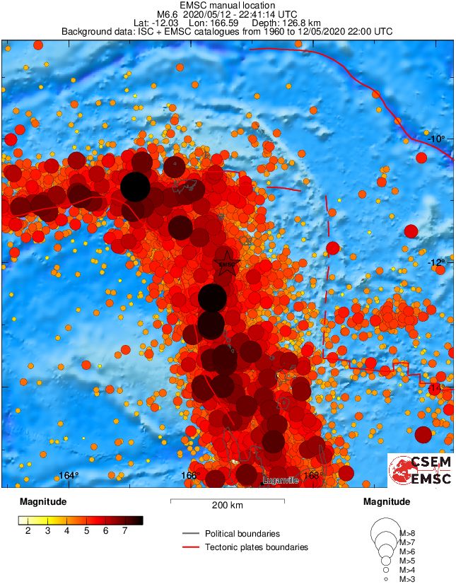
A strong earthquake registered by the USGS as M6.6 hit Santa Cruz Islands, Temotu Province, Solomon Islands at 22:41 UTC on May 12, 2020 (09:41 LT, May 13). The agency is reporting a depth of 112 km (69 miles). EMSC is reporting M6.6 at a depth of 127 km (79 miles).
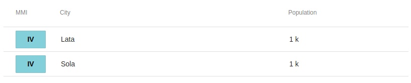
The epicenter was located 56 km (35 miles) SSE Naunonga, 174 km (108 miles) SSE of Lata, Solomon Islands, and 383 km (237 miles) N of Luganville, Vanuatu.
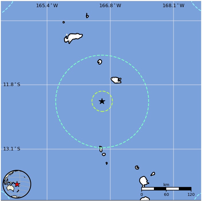
About 3 000 people are living within 100 km (62 miles).
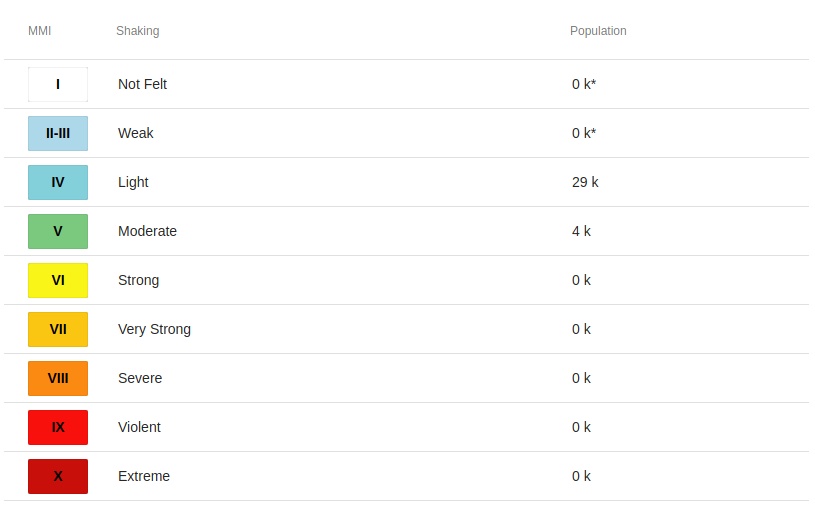
4 000 people are estimated to have felt moderate shaking and 29 000 light.
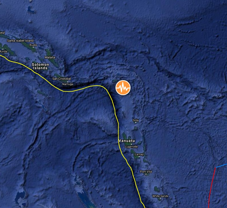
Image credit: TW/SAM, Google
The USGS issued a green alert for shaking-related fatalities and economic losses. There is a low likelihood of casualties and damage.
Overall, the population in this region resides in structures that are highly vulnerable to earthquake shaking, though some resistant structures exist. The predominant vulnerable building types are unknown/miscellaneous types and wood construction.
Recent earthquakes in this area have caused secondary hazards such as landslides that might have contributed to losses.
Estimated population exposure to earthquake shaking
Selected cities exposed
Regional seismicity
I'm a dedicated researcher, journalist, and editor at The Watchers. With over 20 years of experience in the media industry, I specialize in hard science news, focusing on extreme weather, seismic and volcanic activity, space weather, and astronomy, including near-Earth objects and planetary defense strategies. You can reach me at teo /at/ watchers.news.
This earthquake like this M 6.2 – FIJI REGION – 2020-05-13 20:10:37 UTC are triggered by cosmic rays. They are deep earthquakes