
Record-breaking April snowfall, up to 1.25 m (4 feet) engulfs parts of Finland
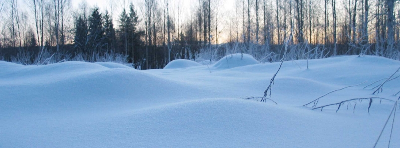
Image credit: FMI
Parts of Northern and Central Finland received record-breaking amounts of snowfall in April 2020, the Finnish Meteorological Institute (FMI) reported. The greatest amounts were recorded at Paljakka and Sodankyla in Lapland, where up to 1.25 m (4.1 feet) of snow was registered.
At Sodonkayla, the Tahtela weather station saw 1.25 m (4.1 feet) on April 14, breaking the previous record of 1.19 m (3.9 feet) set on April 6, 2000.
It was the second record-breaking amount the station had for two days in a row. On April 13, Tahtela recorded 1.22 m (4 feet).
New snow depth record is made today (previous from yesterday): 125 cm pic.twitter.com/c5bSLTbJNy
— Leena Leppänen (@LeenaLeppaenen) April 14, 2020
Sodankylässä Tähtelän mittausasemalla on tehty uusi lumensyvyyden ennätys kahtena päivänä peräkkäin! Tänä aamuna lumensyvyys on ollut 125 cm. Näitä päiviä edeltävä ennätys kyseisellä asemalla on 119 cm ajankohdalta 6.4.2000. #Sodankylä #havaintoasema #lumensyvyys #luntaRiittää pic.twitter.com/AnAyanY8UJ
— Ilmatieteen laitos (@meteorologit) April 14, 2020
While much of Finland was considerably milder than usual in March, Northern Finland received greater amounts of snow, as well as portions of Central Finland. Southern Finland, on the other hand, has experienced one of the mildest winters.
Lapland also holds the highest snow water equivalent in the entire northern hemisphere, according to Mika Rantanen, a researcher in Finnish Meteorological Institute and a meteorology Ph.D. student at the University of Helsinki.
Over 250 mm (9.8 inches) widely and 300 mm (11.8 inches) locally were recorded.
FMI meteorologists noted that record snowfall levels are not incompatible with existing findings on climate change and that the total temperature trends for the northern region have been increasing over the previous years.
Third week of #SAsnowAPP campaign. #Snow pits are made twice per week by local scientists. Automated instruments are measuring continuously.
Snow depth has decreased from ~70 cm to ~50 cm during the campaign.
Some visitor has investigated the site #snowscience pic.twitter.com/OWY7nZkXV2
— FMI Snow (@FMI_Snow) April 2, 2020
More detailed snow load observations can be found from @SYKEinfo @sykeint #vesifi website: https://t.co/0BLAzLYL9D pic.twitter.com/lZINioX4HR
— Mika Rantanen (@mikarantane) April 15, 2020
Commenting rules and guidelines
We value the thoughts and opinions of our readers and welcome healthy discussions on our website. In order to maintain a respectful and positive community, we ask that all commenters follow these rules.