
Kanlaon volcano alert status raised, Philippines
Featured image: Kanlaon volcano eruption on June 18, 2016. Credit: PHIVOLCS
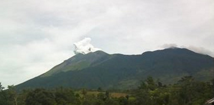
The Philippine Insitute of Volcanology and Seismology (PHIVOLCS) raised the alert status of Kanlaon volcano, the most active of the central Philippines, from Alert Level 0 (normal) to Alert Level 1 (abnormal) on August 18, 2017. The local government units and the public are strictly reminded that entry into the 4-km (2.5 miles) radius Permanent Danger Zone (PDZ) is strictly prohibited.
Kanlaon Volcano’s seismic monitoring network recorded a total of 244 volcanic earthquakes since June 24, 2017, the agency reports.
The increased seismic activity could be succeeded by steam-driven or phreatic eruptions at the summit crater, despite the absence of visible degassing or steaming from the active vent this year.
Ground deformation data from continuous GPS measurements indicate that the Kanlaon edifice remains inflated since December 2015. These parameters indicate that volcanic processes are underway deep beneath the edifice that may be caused by deep-seated degassing or hydrothermal activity or magmatic intrusion.
Alert Level 1 status now currently prevails over Kanlaon Volcano, which means that it is at an abnormal condition and has entered a period of unrest.
The local government units and the public are strictly reminded that entry into the 4-km (2.5 miles) radius Permanent Danger Zone (PDZ) is strictly prohibited due to the further possibilities of sudden and hazardous steam-driven or phreatic eruptions.
Civil aviation authorities must also advise pilots to avoid flying close to the volcano’s summit as ejecta from any sudden phreatic eruption can be hazardous to aircraft.
In August 1996, the volcano abruptly erupted, sending a spray of heated rocks that killed three hikers who were near the summit at the time.
Geological summary
Kanlaon volcano (also spelled Canlaon), the most active of the central Philippines, forms the highest point on the island of Negros. The massive 2435-m-high (7 989 feet) andesitic stratovolcano is dotted with fissure-controlled pyroclastic cones and craters, many of which are filled by lakes.
The largest debris avalanche known in the Philippines traveled 33 km (20.5 miles) to the SW from Kanlaon. The summit of Kanlaon contains a 2-km-wide (1.2 miles), elongated northern caldera with a crater lake and a smaller, but higher, historically active vent, Lugud crater, to the south.
Historical eruptions from Kanlaon, recorded since 1866, have typically consisted of phreatic explosions of small-to-moderate size that produce minor ashfalls near the volcano. (GVP)
I'm a dedicated researcher, journalist, and editor at The Watchers. With over 20 years of experience in the media industry, I specialize in hard science news, focusing on extreme weather, seismic and volcanic activity, space weather, and astronomy, including near-Earth objects and planetary defense strategies. You can reach me at teo /at/ watchers.news.
Commenting rules and guidelines
We value the thoughts and opinions of our readers and welcome healthy discussions on our website. In order to maintain a respectful and positive community, we ask that all commenters follow these rules.