New round of severe weather to hit southern Australia
Australian Bureau of Meteorology (BOM) has issued new severe weather warnings for parts of southern Australia today, January 12, 2015.
After a week of severe bushfires, South Australia has been hit particularly hard by heavy rain which started affecting the country on Thursday, January 8, 2015. On January 9, BOM warned the state may see its heaviest statewide rainfall totals for a single event since 1974 and added fire danger ratings will continue to ease due to lower forecast temperatures and increasing humidity.
In their latest severe weather warning issued 04:49 UTC today (15:49 EDT) for Victoria, BOM said a low pressure trough will enter western Victoria on Tuesday morning, January 13, and move only slowly eastwards into central districts by Tuesday evening as an associated low pressure system deepens and moves over western Bass Strait.
Heavy rain and thunderstorms which may lead to flash flooding are forecast for parts of the Mallee, Wimmera, Northern Country, North Central, North East, South West and Central forecast districts on Tuesday.
Heavy rainfall is likely to develop over western districts during the morning and extend into central districts by midday then contracting to the northeast during the afternoon before easing by the evening.
The State Emergency Service (SES) advises that rainfall run-off into waterways in recent fire affected areas may contain debris such as soil, ash, trees and rocks. People in fire affected areas should also be alert to the potential for landslide and debris across roads.
BOM is predicting overnight falls of up to 20 mm in the Adelaide metropolitan area and falls of between 30 and 35 mm in the Mount Lofty Ranges.
A severe thunderstorm warning for heavy rainfall was issued for people in the Flinders and North East Pastoral districts of South Australia at 08:18 UTC (18:48 CDT):
Thunderstorms are occurring in the warning area and are expected to continue through the evening and overnight. Some of these are likely to be severe, producing very heavy rainfall that may lead to flash flooding. Locations which may be affected include Leigh Creek, Moomba, Innamincka, Hawker, Arkaroola, Peterborough and Olary.
At Leigh Creek Airport, 55 mm was recorded between 3:15 pm and 6 pm this afternoon (local time), with 30 mm in 45 minutes.
Note: Up to 120 mm of rain was recorded at parts of the state near the Northern Territory border within a 24-hour period over the weekend.
Severe thunderstorm warning for damaging wind and heavy rainfall was issued for people in parts of the Channel Country Forecast District, Queensland at 08:32 UTC (19:32 EDT):
Severe thunderstorms are likely to produce damaging winds and heavy rainfall that may lead to flash flooding in the warning area over the next several hours. Locations which may be affected include Birdsville, Bedourie, Bulloo Downs, Ballera, Morney and Durrie.
Severe thunderstorm warning for heavy rainfall was issued for people in parts of the Lower Western and Upper Western Forecast Districts, New South Wales at 11:22 UTC (22:22 EDT):
Severe thunderstorms are likely to produce heavy rainfall that may lead to flash flooding in the warning area over the next several hours. Locations which may be affected include Tibooburra, White Cliffs, Broken Hill, Menindee, Fowlers Gap and Milparinka.
See also:
- Heatwave and strong winds increase fire danger for southern Australia (Friday, January 2, 2015)
- Crews race against time to fight Adelaide fires as conditions worsen (Monday, January 5, 2015)
- Bureau warns of significant rainfall for central and southeast Australia (Friday, January 9, 2015)
- Roads closed in Adelaide Hills, far north as SA prepares for highest rainfall since 1974 (Friday, January 9, 2015)
- One dead, communities and towns cut off as rain, flooding hits areas across Australia (Friday, January 9, 2015)
- More flooding forecast for SA's north-east as heavy rains arrive (Saturday, January 10, 2015)
- Fires and flooding rains as Australia's summer weather goes wild (Sunday, January 11, 2015)
- Tourists stranded in South Australian outback following heavy rain and flooding (Monday, January 12, 2015)

- The following page provides a summary of all valid weather warnings issued in each State: http://www.bom.gov.au/australia/warnings/
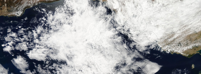
Featured image: NASA Aqua/MODIS acquired January 12, 2015.
Poor soul just had to give globalwarming a plug.
In the last round of storms a few days ago, we had a tornado rip through, in a line across three suburbs, ripping up large trees and damaging houses.
We don’t want to see this again, though the next weather event may be moreso heavy rain than ferocious winds.