• Strong M6.0 earthquake hits southern Alaska

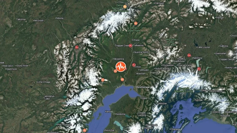
    A strong earthquake registered by the USGS as M6.0 struck southern Alaska at 17:11 UTC on November 27, 2025. The agency is reporting a depth of 69.4 km (43.1 miles). EMSC is reporting M6.0 at a depth of 83 km (51.5 miles). According to the National Tsunami Warning Center (NTWC), a tsunami is not expected.
  • Lake-effect snow warnings issued across Ohio, Pennsylvania, and New York

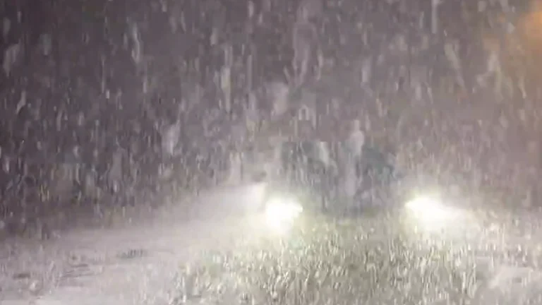
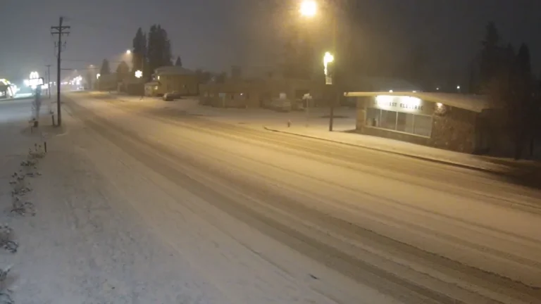
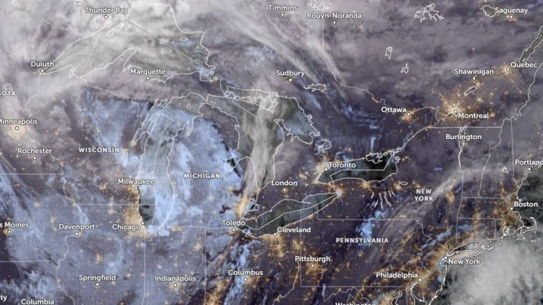
    Heavy lake-effect snow is forecast across the eastern Great Lakes region from early Thursday, November 27, through Saturday, November 29, 2025. The National Weather Service (NWS) has issued Lake Effect Snow Warnings for areas in Ohio, Pennsylvania, and New York, with totals reaching up to 50 cm (20 inches) in the most persistent snow bands.

  • New eruptive episode at Kīlauea produces strong lava fountaining and high sulfur dioxide emissions

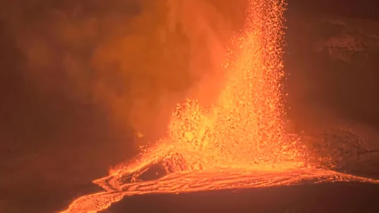
    Episode 37 of the ongoing Kīlauea eruption began at 14:30 HST on November 25, 2025 (00:30 UTC, November 26), producing sustained lava fountains about 120 m (400 feet) high from the north vent inside Halemaʻumaʻu crater. The eruption remains confined within Hawaiʻi Volcanoes National Park, with no impacts beyond the summit area. Seismic tremor intensified at the onset, and sulfur dioxide (SO2) emissions rose to around 50 000 tonnes per day, generating volcanic gas plumes and vog drifting southwest under light northeast winds.

  • Lake-effect snow and dangerous travel conditions forecast for the Upper Midwest and Great Lakes

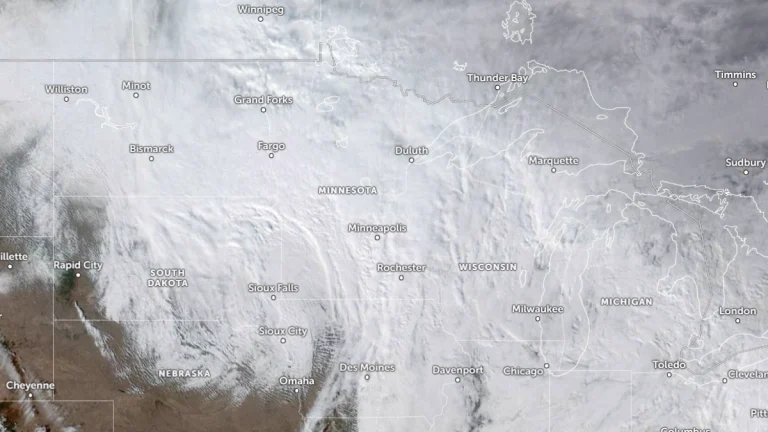
    A strengthening storm is forecast to move from the northern Plains into the Upper Great Lakes Tuesday through Thursday, November 25–27, 2025, producing lake-effect snow and strong winds across portions of the Upper Midwest and Great Lakes. The severe winter weather will create hazardous travel conditions across northern Minnesota, northern Wisconsin, and Michigan’s Upper Peninsula, with lake-effect snow continuing into Thanksgiving Day.

  • Heavy snow and dangerous travel conditions forecast as winter storm looms over Thanksgiving weekend

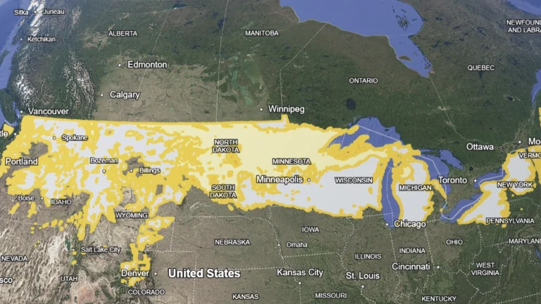
    A developing winter storm is forecast to bring accumulating snow and reduced visibility across eastern North Dakota, northern South Dakota, Minnesota, and northwestern Wisconsin from Tuesday through Wednesday, November 25–26, 2025. This may cause travel disruptions for the Thanksgiving weekends as heavy snow and winds create hazardous road conditions.

  • Winter Weather Advisories in effect across Montana through Tuesday morning

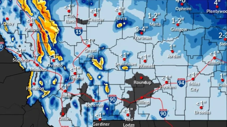
    Winter Weather Advisories covering mountain regions and the northeastern plains of Montana remain active through early Tuesday, November 25, 2025, with snow, freezing rain, and strong winds generating hazardous travel conditions. Mountain passes, including Lolo, Lost Trail, and Marias, may receive 5–45 cm (2–18 inches) of snow, while northeastern counties face light accumulation, freezing rain, and winds up to 55 km/h (35 mph).