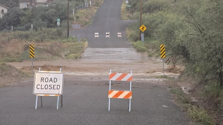
Search operations to resume today for man missing in high surf at Garrapata State Park, California
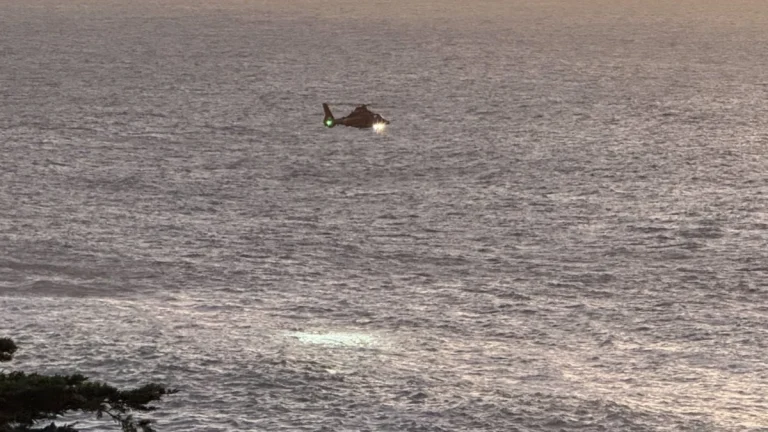
Search operations will continue on Monday, November 24, 2025, for a man swept into the Pacific Ocean at Garrapata State Park on Saturday, November 22. A U.S. Coast Guard helicopter briefly sighted what appeared to be a body on Saturday, but visual contact was lost in rough seas and high surf.