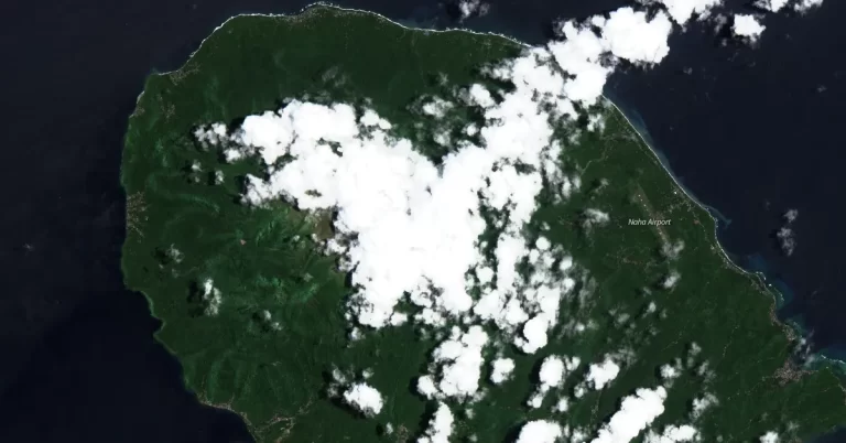
• Increased seismicity and inflation at Awu volcano, Alert Level raised to 3, Indonesia

    Increased seismic activity and inflation detected at Awu Volcano prompted Indonesian authorities to elevate the alert level from 2 to 3 on April 16, 2024. The Center for Volcanology and Geological Hazard Mitigation (PVMBG) has advised the public to maintain a distance of at least 5 km (3.1 miles) from the crater due to potential explosive eruptions. The last eruption at this volcano took place in 2004 (VEI 2).
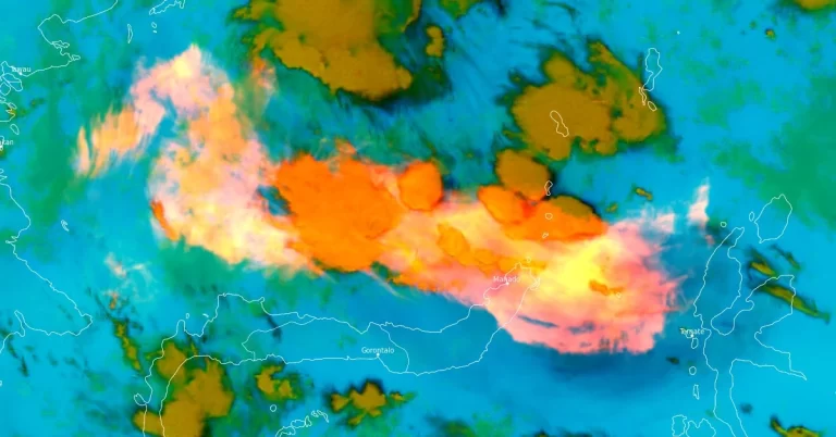
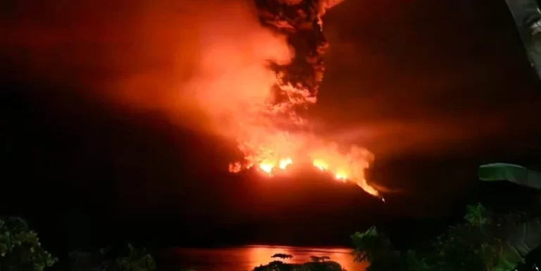
  • Potential tsunami risk after major eruption at Ruang volcano, Indonesia

    Indonesia’s Ruang volcano in North Sulawesi experienced several violent eruptions on April 16 and 17, 2024, forcing authorities to raise the Alert Level to 4 of 4 and warn nearby residents there is a potential of a tsunami if parts of the volcano collapse into the sea, similarly to what happened in 1871. The last eruptive episode at this volcano was in September 2002 (VEI 4).

  • Massive eruption at Ruang volcano forces mass evacuation, ash to 16.7 km (55 000 feet) a.s.l., Indonesia

    A series of powerful eruptions took place at Ruang volcano in Indonesia’s North Sulawesi province starting at 17:08 UTC on April 16, 2024 (01:08 LT, April 17). As a result, the Aviation Color Code was raised to Red, the Alert Level to 3 of 4, and local authorities started evacuating more than 800 people living on the island as a preventive measure. The last eruptive episode at this volcano was in September 2002 (VEI 4).

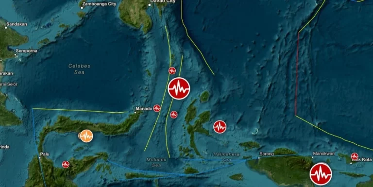
  • Strong M6.5 earthquake hits northern Molucca Sea, Indonesia

    A strong and shallow earthquake registered by the BMKG as M6.5 hit the northern Molucca Sea, Indonesia at 09:48 UTC on April 9, 2024. The agency is reporting a depth of 10 km (6.2 miles). USGS is reporting M6.6 at a depth of 33 km (20.5 miles); EMSC M6.6 at a depth of 35 km (21.7 miles).

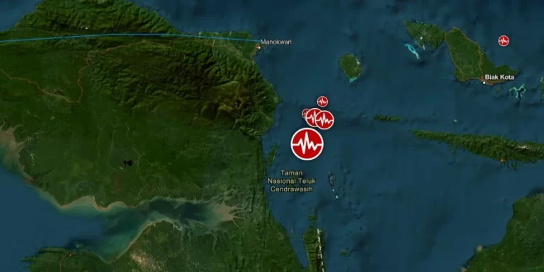
  • Shallow M6.1 earthquake hits near the north coast of Papua, Indonesia

    A strong and shallow earthquake registered by the BMKG as M6.1 hit near the north coast of Papua, Indonesia at 00:02 UTC (07:02 LT) on April 9, 2024. The agency is reporting a depth of 10 km (6.2 miles). USGS is reporting M6.0 at a depth of 9 km (5.6 miles); EMSC M6.0 at a depth of 10 km (6.2 miles).

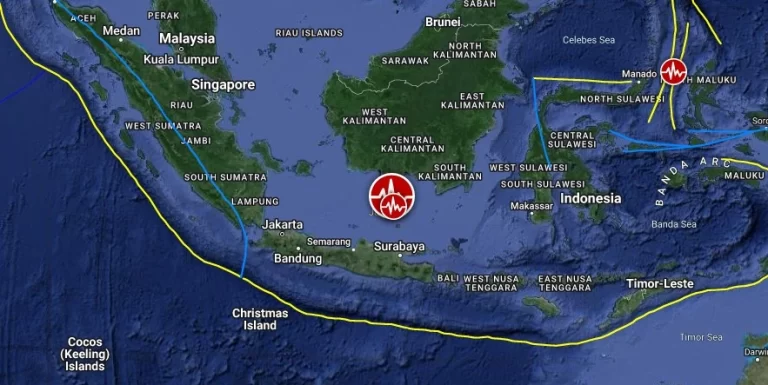
  • Strong and shallow M6.5 earthquake hits Java Sea, Indonesia

    A strong and shallow earthquake registered by the BMKG as M6.5 hit Java Sea, Indonesia at 08:52 UTC (15:52 LT) on March 22, 024. The agency is reporting a depth of 10 km (6.2 miles). USGS and EMSC are reporting M6.4 at a depth of 8.5 km (4.3 miles).

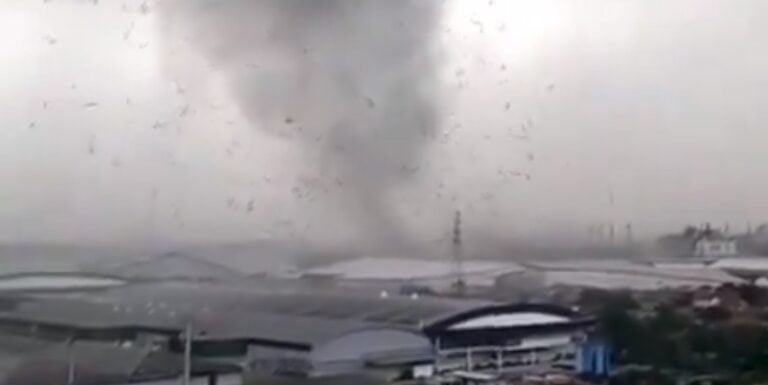
  • Indonesia’s strongest tornado on record

    Last week, Indonesia experienced its strongest tornado on record, injuring at least 33 people and causing extensive damage to hundreds of buildings in the West Java province, according to government officials.