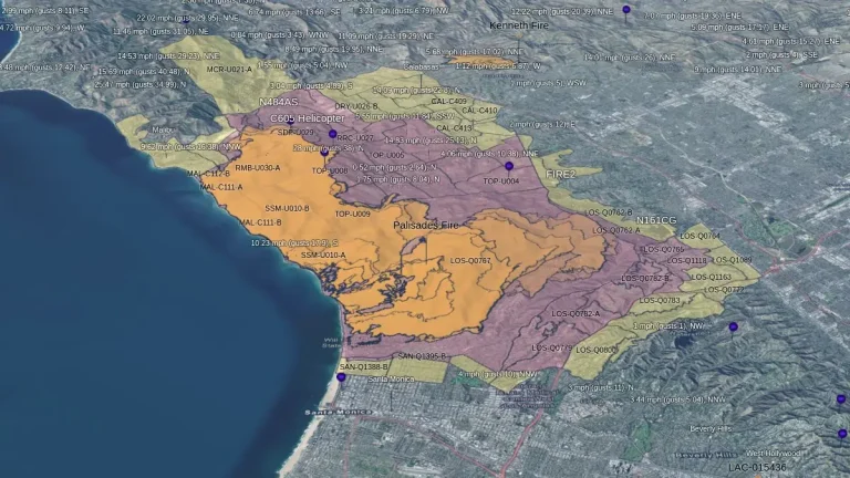
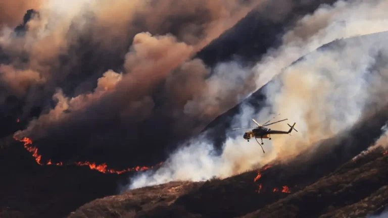
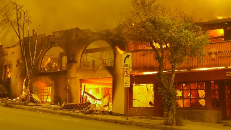
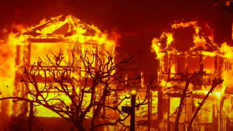
Urgent warning for Southern California for powerful winds, extremely critical fire weather
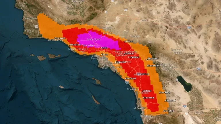
Southern California’s wildfire risk is reaching critical levels on Monday, January 20, 2025, with forecasters cautioning that dry vegetation and powerful winds could create the perfect conditions for fast-spreading, unpredictable fires. Potential impacts from this event include downed trees and power outages, very rapid and erratic fire spread, dangerous driving conditions and travel delays, especially for high-profile vehicles, and hazardous sea conditions with potential breaking waves for Avalon Harbor. If you live in affected region and haven’t prepared already, now is the time to act.