• New tropical depression developed east of Philippines

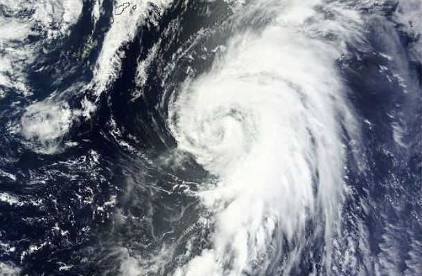
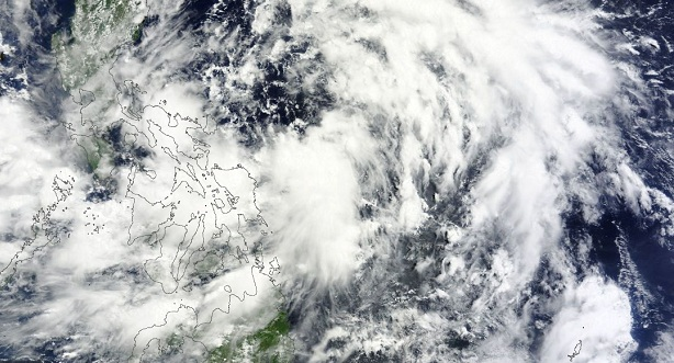
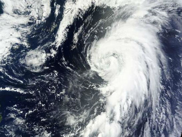
    Low pressure system 91W became Tropical Depression Four (TD 04W) late on June 17, 2013 as it continues moving north and parallels the east coast of the Philippines. Philippine Atmospheric, Geophysical and Astronomical Services Administration (PAGASA) named the
  • Yagi has weakened into a tropical depression

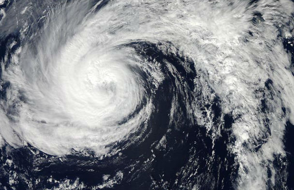
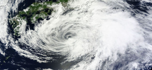
    Tropical Storm Yagi lost its tropical characteristics. The system has weakened into a tropical depression and has slowed down in its northward movement south of Japan. Yagi no longer poses any direct threat to Japan. An upper-level low pressure area from the

  • Tropical Storm Yagi nears southern coast of Japan

    Tropical Storm Yagi is moving northward towards the southern coast of Japan and that general motion is expected to continue for the next few days. The center of the early season Tropical Storm Yagi could approach and reach the coast between Tokyo and the

  • Tropical Storm Yagi (Dante) aims Japan

    Tropical Storm Yagi is forecasted to dramatically weaken by mid-week. Impacts will not be widespread across Japan. Even the risk of flooding across Japan should remain limited and local but the threat will still be there as moisture onflow pushes across the Kinki and

  • Tropical Depression Yagi formed east of Philippines

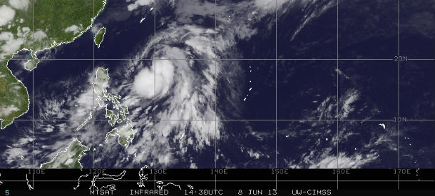
    According to latest report by Joint Typhoon Warning Center (JTWC), Tropical Depression 03W (Yagi) is located approximately 548 nm south-southeastward of Kadena AB. The system is moving northeastward at 03 knots over the past six hours. TD 03w is currently

  • NASA's computer simulation shows track of Hurricane Sandy

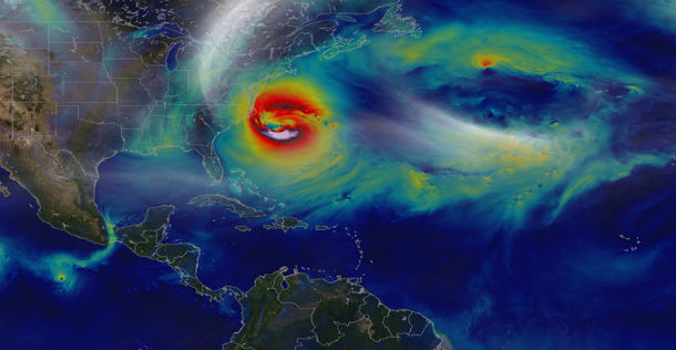
    Hurricane Sandy pummeled the East Coast late in 2012’s Atlantic hurricane season, causing 159 deaths and $70 billion in damages. Days before landfall, forecasts of its trajectory were still being made. Some computer models showed that a trough in the jet stream

  • Tropical Storm Andrea tracked by GOES East satellite

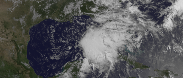
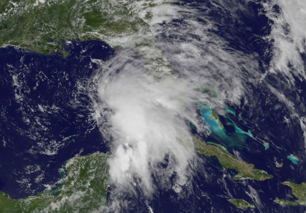
    NOAA's GOES East satellite has captured imagery of the storms development in Gulf of Mexico in period from June 4-6, 2013. 


    Source: VFS

    Featured image: Visible satellite image of TS Andrea by GOES East at 13:15 UTC on June 5,