I am an Assistant Editor and Severe Weather & Science Journalist at The Watchers, specializing in real-time severe weather coverage, geophysical event reporting, and research-driven scientific analysis. You can reach me at rishav(at)watchers(.)news.

  • Strong M6.2 earthquake hits Banda Sea, Indonesia

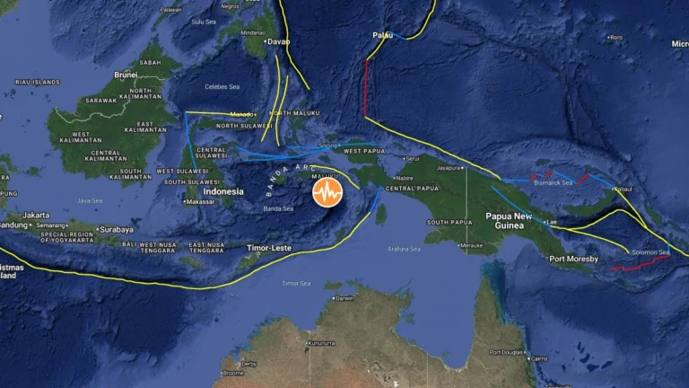
    A strong earthquake registered by the USGS as M6.2 struck the Banda Sea, Indonesia, at 17:53 UTC on May 14, 2026. The agency is reporting a depth of 146 km (91 miles). EMSC is reporting M6.2 at a depth of 146 km (91 miles) while BMKG reports M6.7 at a depth of 163 km (102 miles).


  • Severe thunderstorms leave over 100 dead across Uttar Pradesh, India

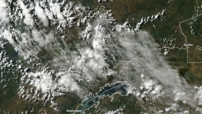
    Severe thunderstorms swept across Uttar Pradesh, India, on the night of May 13, 2026, claiming at least 104 lives and leaving over 59 people injured across the state. Prayagraj was the worst hit, with preliminary reports indicating between 20 and 30 fatalities. Widespread destruction was reported in multiple districts, with more than 80 homes being damaged along with other structures.

  • Long dormant Methana volcano was accumulating magma for over 100 000 years

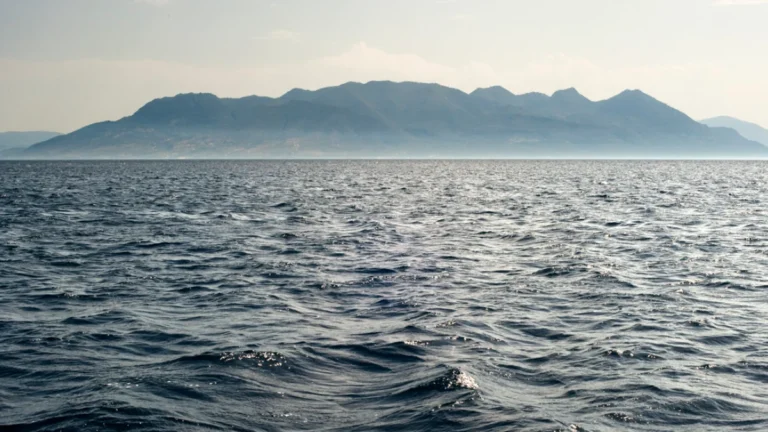
    A recent study found that the Methana volcano in Greece remained inactive for over 100 000 years while magma continued accumulating beneath the surface, a process the authors describe as “silent” magma reservoir growth. This challenges the traditional idea of volcanic dormancy, in which volcanoes that haven’t erupted in the last 10 000 years are classified as dormant.

  • Massive wildfire burns through Chernobyl exclusion zone following UAV crash in Ukraine

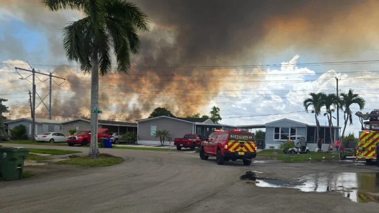
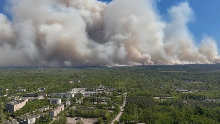
    A massive forest fire broke out in Ukraine’s Chernobyl exclusion zone on May 7, 2026, following the crash of two drones and has spread across approximately 1 200 ha (2 965 acres), according to the Chornobyl Radiation and Ecological Biosphere Reserve (CREBR). While the fire situation is under control as of May 9, the threat of landmines in the area coupled with strong winds and dry air continues to complicate suppression efforts.

  • First-of-its-kind deep-Earth conductivity map reveals ancient continental fragments beneath the United States

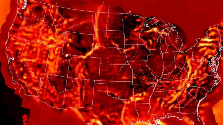
    A first-of-its-kind continent-scale conductivity map made using over 1 700 magnetotelluric stations deployed across the United States has revealed buried tectonic fragments beneath eastern North America, allowing researchers to reconstruct the continent’s deep electrical structure while exposing conductive regions linked to ancient continental collisions, mineral systems, and geomagnetic storm hazard propagation.