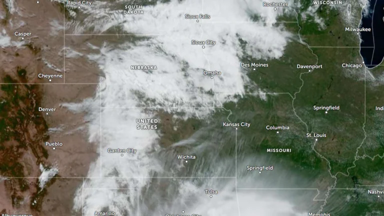
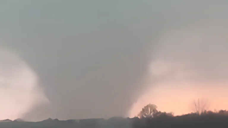
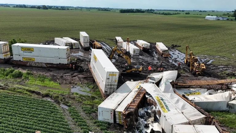
I am an Assistant Editor and Severe Weather & Science Journalist at The Watchers, specializing in real-time severe weather coverage, geophysical event reporting, and research-driven scientific analysis. You can reach me at rishav(at)watchers(.)news.

  • Red Flag Warnings issued from the Plains to the Southeast under critical fire weather conditions

    Red Flag Warnings are in effect across the Central Plains and Southeast United States on March 28, 2026, as the National Weather Service (NWS) warns of critical fire weather conditions driven by strong winds, low relative humidity, and dry fuels. Wind gusts up to 80 km/h (50 mph) and humidity levels as low as 10–20% are expected to promote rapid fire ignition and spread. Outdoor burning is strongly discouraged across all warned regions.

  • High radiation levels measured at sunken Soviet submarine K-278 Komsomolets site

    Sunken Soviet submarine K-278 Komsomolets in the Norwegian Sea continues to release radioactive material more than three decades after sinking on April 7, 1989, according to a 2026 study. Measurements show extremely high concentrations of radionuclides near the wreck, while rapid dilution in surrounding seawater limits broader environmental impact.

  • Freeze Warnings issued for parts of Kentucky, Indiana, Illinois and Missouri

    Freeze Warnings have been issued across Kentucky, southern Indiana, southern Illinois, and southeast Missouri, with sub-freezing temperatures forecast overnight into March 28, 2026. The warnings are in effect from late March 27 through the morning hours of March 28, with minimum temperatures expected between −4°C and −1.5°C (24–29°F). Frost and freeze conditions are expected to damage crops, sensitive vegetation, and exposed outdoor plumbing.

  • Tropical Cyclone Narelle crosses Gascoyne coast with destructive winds and flooding, Western Australia

    Severe Tropical Cyclone Narelle made landfall just south of Coral Bay, Western Australia, at approximately 09:30 AWST (01:30 UTC) on March 27, 2026, as a Category 3 system. It brought wind gusts up to 195 km/h (121 mph), intense rainfall, and a dangerous storm tide along the Gascoyne coast. Severe weather conditions are continuing inland through the day and are forecast to persist into March 28.

  • Severe Tropical Cyclone Narelle to pass close to the North West Cape, bringing destructive winds to Western Australia

    Severe Tropical Cyclone Narelle strengthened to Category 4 off the coast of Western Australia on March 26, 2026, and was forecast to pass close to the North West Cape before tracking south along the Gascoyne coast on March 27. The Bureau of Meteorology warned the system could bring very destructive wind gusts up to 275 km/h (171 mph), dangerous storm surge, and heavy rainfall capable of producing flash flooding across parts of the Pilbara and Gascoyne.

  • Tropical Cyclone Narelle strengthens off Western Australia, Category 4 intensity forecast near the coast

    Severe Tropical Cyclone Narelle re-intensified, reaching Category 3 strength off the coast of Western Australia on March 25, 2026, and is forecast to strengthen further while tracking parallel to the Pilbara coast. The system reached Category 3 intensity with sustained winds of 130 km/h (81 mph), with forecasts indicating strengthening to Category 4 as it approaches the North West Cape late March 26.

  • Eight bright fireballs reported over U.S. in March as spring fireball season returns

    Eight bright fireballs were reported over the U.S. between March 3 and 24, 2026, drawing renewed attention to a seasonal increase in fireball activity often seen around the March equinox. NASA has long said sporadic fireball rates can rise by about 10% to 30% during this period, a pattern recognized for more than four decades, even though its cause remains unresolved.