
Mount Gareloi’s seismic surge linked to magmatic-hydrothermal changes, U.S.
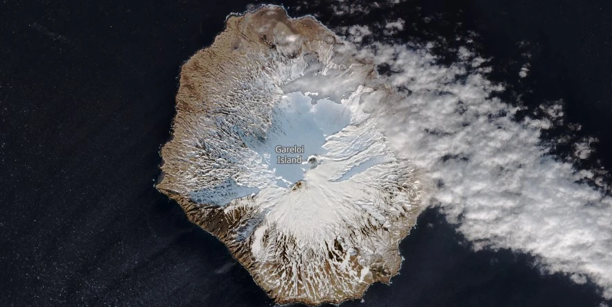
Featured image: Gareloi Island on January 19, 2024. Credit: Copernicus EU/Sentinel-2, The Watchers
The Alaska Volcano Observatory (AVO) has detected a notable increase in seismicity at Mount Gareloi on February 12, 2024, prompting the elevation of the Aviation Color Code to Yellow and the Volcano Alert Level to Advisory. Despite the uptick in seismic activity, there are no signs of an imminent eruption.
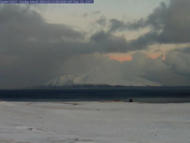
The Alaska Volcano Observatory (AVO) reported an increase in seismic activity at Mount Gareloi, starting at 09:15 AKST (18:15 UTC) on February 12. This change signifies a deviation from the volcano’s typical background activity levels, leading to the Aviation Color Code being raised to Yellow and the Volcano Alert Level to Advisory. Despite this increase, satellite data and webcam views have not shown any notable changes in the volcano’s appearance or behavior.
Mount Gareloi is known for its persistent emission of magmatic gases from a fumarole field located within the south crater, alongside its common low-level seismic activities. These characteristics hint at the existence of shallow magma beneath the surface, potentially interacting with the volcano’s hydrothermal system. The recent seismicity uptick is believed to reflect alterations within the magmatic-hydrothermal system, though it remains uncertain whether this will lead to an increased likelihood of an eruption.
AVO’s monitoring strategy for Mount Gareloi includes a local seismic and infrasound network, supplemented by satellite observations and regional infrasound and lightning-detection networks.
The last eruptive episode at this volcano took place in August 1989 (VEI 1).
Gareloi Island, situated at the western end of the Andreanof Islands within the Aleutian Islands, is a stratovolcano covering an area of approximately 8 x 10 km (5 bx 6.2 miles). This northernmost volcano of the Delarof Group features two summits and a notable SE-trending fissure stretching 4 km (2.5 miles) from the southern summit to the sea, created during the 1929 eruption.
The island is characterized by steep sea cliffs on the SW coast, eroded from an older volcano’s remnants, and offshore are submarine deposits from three debris avalanches due to past collapses.
Recent lava flows from the volcano extend from the summit to the coast along NW, ENE, and S directions, covering the older structures.
The 1929 eruption (VEI 3) was marked by phreatic explosions and the ejection of volcanic material, along with the flow of four short, steep lava streams, one reaching the SE coast.
Other confirmed VEI 3 eruptions took place in 1922 and 1980.
References:
1 AVO/USGS Volcanic Activity Notice – Gareloi – February 12, 2024
2 Gareloi – Geological summary – GVP
I'm a dedicated researcher, journalist, and editor at The Watchers. With over 20 years of experience in the media industry, I specialize in hard science news, focusing on extreme weather, seismic and volcanic activity, space weather, and astronomy, including near-Earth objects and planetary defense strategies. You can reach me at teo /at/ watchers.news.
Commenting rules and guidelines
We value the thoughts and opinions of our readers and welcome healthy discussions on our website. In order to maintain a respectful and positive community, we ask that all commenters follow these rules.