
Unusual wildfire burning in western Greenland
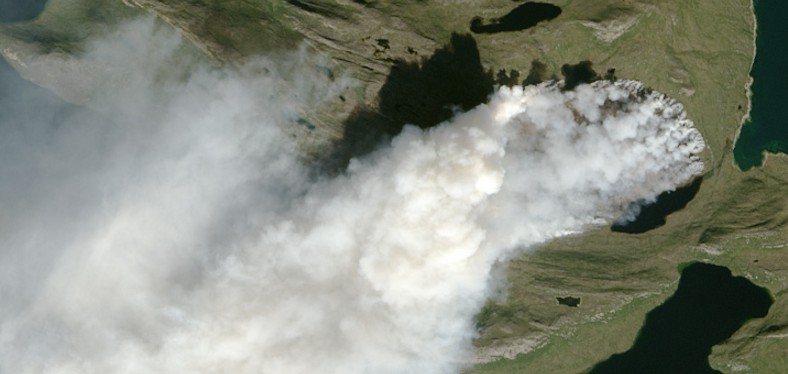
Featured image: Close-up of a wildfire burning in western Greenland on August 3, 2017. Credit: USGS Landsat-8/OLI
Satellites have detected a sizable wildfire burning in western Greenland, about 150 km (90 miles) northeast of Sismut, the second largest town in Greenland (population 5 500).
Satellites first detected evidence of the fire on July 31, 2017 and kept collecting the images over the next 7 days. The fire appears to be burning through peat.
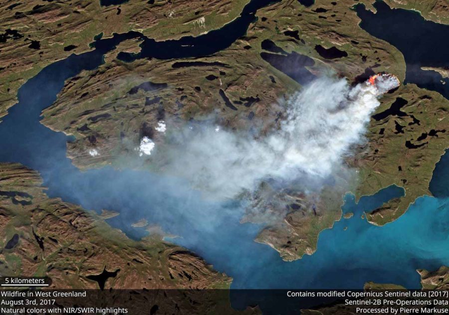
Wildfire in western Greenland on August 3, 2017. Credit: ESA/Copernicus Sentinel-2B (pre-operations data)
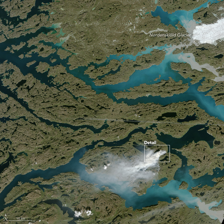
Wildfire in western Greenland on August 3, 2017. Image credit: USGS Landsat-8/OLI
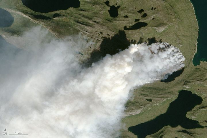
Wildfire in western Greenland on August 3, 2017. Image credit: USGS Landsat-8/OLI
While it is not unprecedented for satellites to observe fire activity in Greenland, a preliminary analysis shared by Stef Lhermitte of Delft University of Technology in the Netherlands suggests that MODIS has detected far more fire activity in Greenland in 2017 than it did during any other year since the sensor began collecting data in 2002.
To wrap up: wildfires have occurred in the past over Greenland but 2017 is exceptional in number of active fire detections by MODIS pic.twitter.com/2HGaVieTEe
— Stef Lhermitte (@StefLhermitte) August 7, 2017
It is not yet clear what triggered the fire.
The Watchers team and our contributors bring the latest on extreme weather, earthquakes, volcanic eruptions, space weather, and all things science. We're all about making sense of the natural world and keeping you informed on what’s happening. Got a tip or a question? Hit us up using the form at newstips!
Commenting rules and guidelines
We value the thoughts and opinions of our readers and welcome healthy discussions on our website. In order to maintain a respectful and positive community, we ask that all commenters follow these rules.