Bárðarbunga volcano Aviation Color Code raised to Yellow after intense earthquake swarm, Iceland
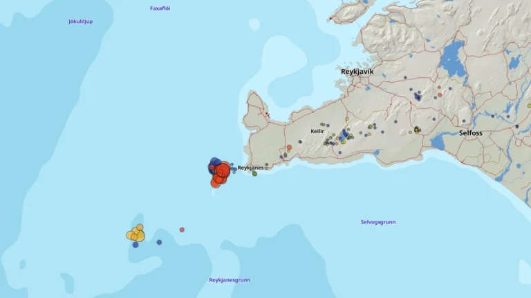
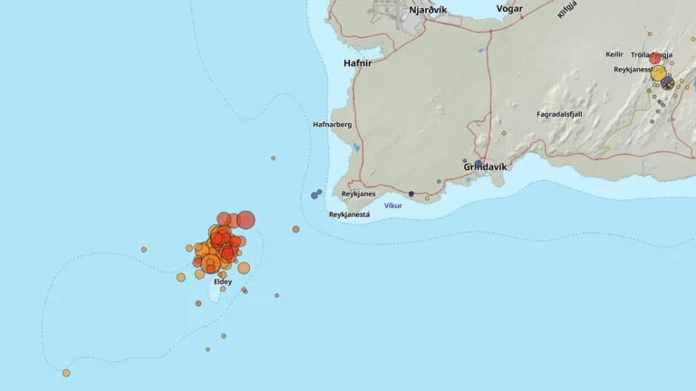
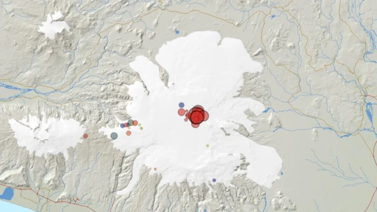
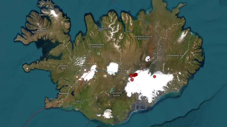
The Icelandic Meteorological Office (IMO) raised the Aviation Color Code for Bárðarbunga volcano to Yellow at 00:43 UTC on June 14, 2026, after an intense earthquake swarm began in the northwestern part of the caldera following a M4.8 earthquake at 20:14 UTC on June 13.