
Hidden fault fragments beneath San Andreas revealed by tiny earthquakes
A new seismic study shows that swarms of tiny, low-frequency earthquakes beneath the Mendocino Triple Junction off Northern California reveal a previously unrecognized configuration of hidden faults and slab fragments, according to research published on January 15, 2026.
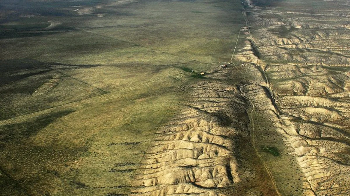
Aerial photo of San Andreas Fault looking northwest onto the Carrizo Plain with Soda Lake visible at the upper left. Credit: John Wiley
Swarms of extremely small earthquakes beneath the ocean floor off Northern California are revealing a far more intricate fault system than scientists previously recognized, improving our understanding of one of the most seismically dangerous regions in North America. The findings come from a new study published on January 15 in Science by researchers from the United States Geological Survey, the University of California, Davis, and the University of Colorado Boulder.
The research shows that the Mendocino Triple Junction, where major fault systems intersect offshore of Humboldt County, is not controlled by three simple tectonic plates.
Instead, at least five separate pieces of Earth’s crust are moving at depth, including two hidden slab fragments that cannot be identified from surface geology alone. This buried complexity helps explain puzzling past earthquakes and suggests that seismic hazard in the region may be more distributed than standard fault maps indicate.
The Mendocino Triple Junction marks the intersection of the Pacific, North American, and Gorda plates. South of the junction, the Pacific plate slides northwest past North America, forming the offshore continuation of the San Andreas Fault system. To the north, the Gorda plate moves northeastward and subducts beneath the North American plate, descending into the mantle as part of the Cascadia subduction zone.
On maps, this arrangement appears straightforward. In reality, the junction concentrates stresses from a fast-moving transform fault and an active subduction zone into a narrow offshore corridor. That stress concentration produces frequent earthquakes and a wide range of faulting styles, making the region one of the most complex seismic environments along the continent’s western margin.
Rather than focusing on damaging earthquakes, the new study examined low-frequency earthquakes that are thousands of times weaker than shaking felt at the surface. These tiny events occur deep underground where plates slowly slide past or beneath one another. Because they repeat frequently and cluster in tight swarms, they provide precise markers of how faults move at depth.
Using a dense network of seismometers across Northern California and the Pacific Northwest, the researchers detected and analyzed thousands of these subtle signals. Their locations and motion patterns revealed active slip surfaces far below the reach of traditional geological mapping.
“If we don’t understand the underlying tectonic processes, it’s hard to predict the seismic hazard,” said Amanda Thomas, a professor of earth and planetary sciences at UC Davis and a co author of the study.
To verify that the earthquake swarms reflected real fault motion rather than noise, the team tested their model against tidal forces. The gravitational pull of the Moon and Sun slightly stresses Earth’s crust, just as it raises ocean tides. When those stresses align with the direction a tectonic block wants to move, small earthquakes should occur more frequently.
That pattern emerged clearly beneath the Mendocino Triple Junction. Periods when tidal forces favored slip coincided with increased low-frequency earthquake activity, providing independent confirmation that the detected swarms were tracing active fault motion deep below the surface.
The most consequential result of the study is a revised tectonic model that includes five moving components rather than three plates. Two of these components are buried slab fragments inherited from older tectonic configurations.
At the southern end of the Cascadia subduction zone, a section of the North American plate has broken away and is being pulled downward together with the subducting Gorda plate. This detached fragment moves with the descending slab rather than remaining part of the stable continental plate.
South of the triple junction, the Pacific plate is dragging a separate body of rock known as the Pioneer fragment beneath North America as it moves northward. The fault boundary between this fragment and the overlying plate is nearly horizontal, making it invisible at the surface and difficult to detect without seismic imaging.
The Pioneer fragment is a remnant of the Farallon plate, an ancient oceanic plate that once extended along much of the western edge of North America. Over tens of millions of years, most of the Farallon plate was consumed by subduction. The new findings show that some fragments were not destroyed but instead captured and transported beneath modern plate boundaries.
This hidden geometry helps resolve a long-standing mystery. In 1992, a magnitude M7.2 earthquake struck the region at a much shallower depth than expected for a subduction-related event. Traditional models assumed that major faults followed the leading edge of a descending slab. The new configuration places an active fault surface closer to the surface, involving a captured slab fragment rather than the main subducting plate.
“The plate boundary seems not to be where we thought it was,” said Kathryn Materna, a co-author of the study based at the University of Colorado Boulder.
Accurate seismic hazard assessments depend on knowing where faults are located and how stress accumulates along them. If significant fault interfaces are hidden or misplaced, risk may be underestimated in areas thought to be less hazardous. The study suggests that buried slab fragments beneath the Mendocino region could host damaging earthquakes that do not conform to conventional fault maps.
The findings do not indicate that a major earthquake is imminent. Instead, they highlight the importance of incorporating deep tectonic structure into long term hazard models for Northern California’s coastal communities and infrastructure.
Lead author David Shelly of the USGS compared the challenge to studying an iceberg. Only a small fraction of the system is visible at the surface, while most of its structure lies concealed below. Low-frequency earthquakes provide one of the few tools capable of imaging that hidden portion of Earth’s crust.
As seismic monitoring continues to improve, similar techniques may reveal unexpected fault geometries in other complex plate boundary regions around the world. Where ancient subduction zones intersect modern fault systems, remnants of long vanished plates may still shape earthquake behavior today.
References:
1 Tiny Earthquakes Reveal Hidden Faults Under Northern California – UC Davis – January 15, 2026
2 Low-frequency earthquakes track the motion of a captured slab fragment – David R. Shelly et al. – Science – January 15, 2026 – DOI: 10.1126/science.aeb2407

I’m a science journalist and researcher at The Watchers, contributing to the Epicenter edition, where I cover peer-reviewed scientific research and emerging discoveries across Earth and space sciences. With a background in astronomy and a passion for environmental science, I’ve worked in shark and coral conservation in Fiji, conducting reef and shark-behavior research, contributing to mangrove restoration, and earning PADI Open Water and Coral Reef Certifications. I bring a blend of scientific rigor and storytelling to illuminate the discoveries shaping our planet and beyond.
Commenting rules and guidelines
We value the thoughts and opinions of our readers and welcome healthy discussions on our website. In order to maintain a respectful and positive community, we ask that all commenters follow these rules.