• Research shows atmospheric rivers fuel Colorado’s most extreme rainfall events

    Landfalling atmospheric rivers contributed between 21% and 78% of top-decile precipitation events across Colorado between 2000 and 2023, according to a new study by the Center for Western Weather and Water Extremes (CW3E) and the National Weather Service (NWS).

  • Evidence of new subduction zone found offshore Southwest Iberia

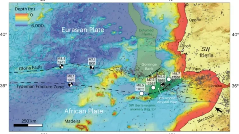
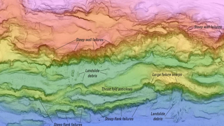
    Seismic imaging and computer models reveal that oceanic plate delamination is occurring offshore Southwest Iberia, suggesting the early stages of subduction initiation and a potential source of future high-magnitude earthquakes, according to a study published in Nature Geoscience on August 30, 2025.

  • Why the 1935 Labor Day Hurricane remains unmatched in U.S. history

    The 1935 Labor Day Hurricane made landfall on Long Key, Florida, at approximately 20:40 LT on September 2, producing sustained winds near 295 km/h (185 mph), a central pressure of 892 mb (26.35 inHg), and storm surge over 5.5 meters (18 feet). The storm killed more than 400 people, including hundreds of World War I veterans housed in federal work camps, and obliterated nearly every structure along a 64 km (40 mile) stretch of the Upper Keys between Tavernier and Marathon, where entire communities were reduced to bare slabs by wind and surge.

  • The Carrington Event of 1859 – Strongest geomagnetic storm in recorded history

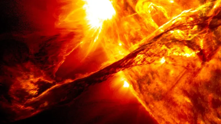
    On September 1, 1859, British astronomer Richard Carrington observed a sudden flash of light erupting from a group of sunspots. Less than 24 hours later, Earth was struck by the most powerful geomagnetic storm in recorded history. Telegraph systems failed, auroras spread across the globe, and the event became known as the Carrington Event.

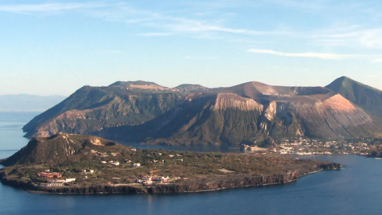
  • New AI-based seismic tomography reveals internal structure of Vulcano volcano, Sicily

    Scientists from the University of Geneva (UNIGE) and Italy’s National Institute of Geophysics and Volcanology (INGV) developed the most accurate 3D model of the internal structure of the Vulcano volcano in northern Sicily, marking a breakthrough in volcanic risk assessment.

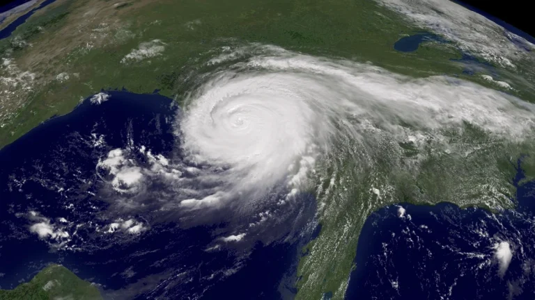
  • 20 years after Hurricane Katrina: What has changed in forecasting and preparedness

    Hurricane Katrina, one of the deadliest and costliest hurricanes in U.S. history, devastated the Gulf Coast in August 2005, leaving nearly 2 000 dead and causing over USD 100 billion in damages.
    Originating as a tropical depression in the Bahamas on August 23, Katrina rapidly intensified into a Category 5 hurricane in the Gulf of Mexico. Making landfall in Florida, Louisiana, and Mississippi, Katrina unleashed catastrophic storm surge, and flooded 80% of New Orleans causing levee failures, and destructive winds across the Southeast.

    The storm exposed critical forecasting limitations of the time and reshaped U.S. disaster preparedness, standing as a benchmark for how hurricanes are tracked, predicted, and remembered.

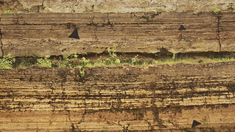
  • Hidden patterns in geological time reveal Earth’s variability limit of 500 million years

    An international study published in Earth and Planetary Science Letters revealed that geological time boundaries follow a multifractal pattern, with Earth’s variability saturating at approximately 500 million years. The research was co-authored by Prof. Andrej Spiridonov from Vilnius University.

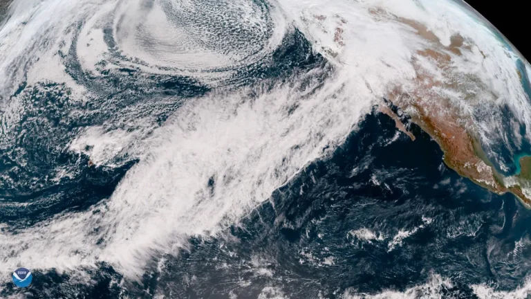
  • Pacific clues improve atmospheric river forecasts

    Researchers have been actively trying to enhance atmospheric river forecasts by collecting targeted observations over the Pacific Ocean. Through the Atmospheric Rivers Reconnaissance (AR Recon) project, aircraft, buoys, and radiosondes gather real-time data on important atmospheric variables, which are then integrated into high-resolution weather models. This approach leads to measurable gains in forecast accuracy, improving readiness along the West Coast and supporting hydrologic planning across the country.