I am an Assistant Editor and Severe Weather & Science Journalist at The Watchers, specializing in real-time severe weather coverage, geophysical event reporting, and research-driven scientific analysis. You can reach me at rishav(at)watchers(.)news.

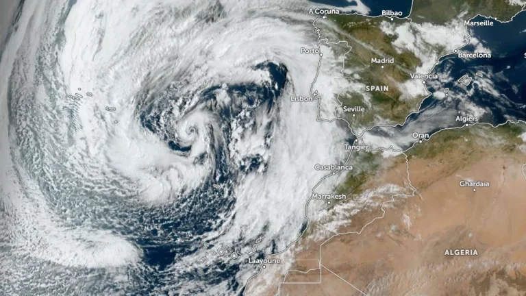
  • Storm Therese brings heavy rainfall, flood and landslide risk to Canary Islands, Spain

    Storm Therese began affecting the Canary Islands, Spain, on March 19, 2026, bringing strong winds, heavy rain, rough seas, and snowfall at high elevations. The severe weather is forecast to persist until at least March 2, with rainfall totals of over 300 mm (12 inches) being forecast in parts of La Palma and Tenerife, increasing the risk of flooding and landslides. Meanwhile, wind gusts above 90 km/h (56 mph) and waves over 5 m (16 feet) are expected.

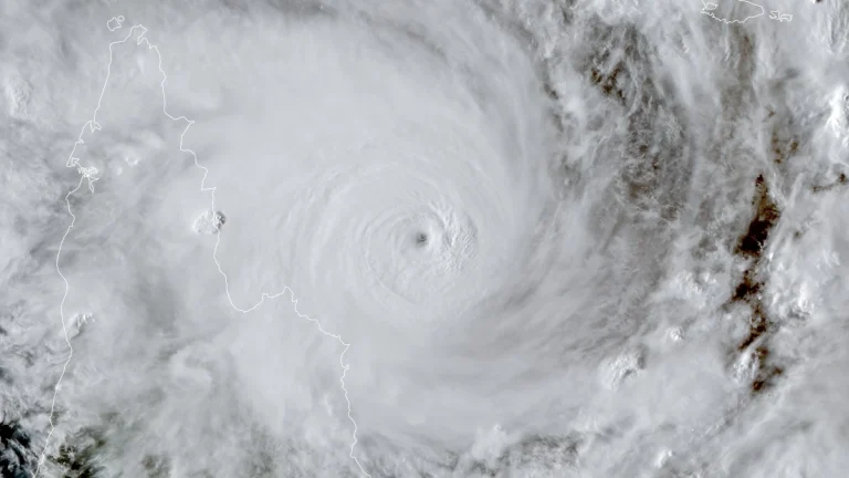
  • Category 5 Severe Tropical Cyclone Narelle forecast to cross Far North Queensland on March 20

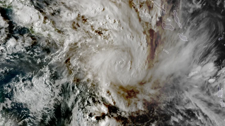
    Severe Tropical Cyclone Narelle intensified into a Category 5 system on March 19, 2026, and is forecast to cross the Cape York Peninsula between Lockhart River and Cape Melville, Queensland, on the morning of March 20. Very destructive wind gusts of more than 250 km/h (155 mph), heavy rainfall of 100 to 350 mm (4 to 14 inches), and dangerous coastal conditions including abnormally high tides and large waves are forecast near and south of the landfall area, although slight weakening to a high-end Category 4 before crossing remains possible.

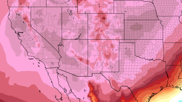
  • Early-season heatwave intensifies across western United States, Extreme Heat Warnings issued

    An anomalously early-season heatwave intensified across the western United States on March 18, 2026, with Extreme Heat Warnings in effect for parts of the Desert Southwest and temperatures forecast to expand east into the Rockies and Great Plains by March 20. Highs are expected to reach 40–44°C (104–112°F) in the hottest desert regions, with numerous daily and some monthly March records likely to be broken.

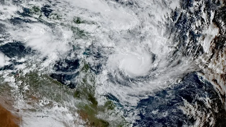
  • Severe Tropical Cyclone Narelle forecast to briefly reach Category 5 before Queensland landfall, Australia

    Severe Tropical Cyclone Narelle is forecast to intensify to Category 5 peak intensity over the Coral Sea before approaching the Far North Queensland coast between Lockhart River and Cooktown on March 20, 2026. Destructive winds of over 250 km/h (155 mph), along with rainfall totals over 350 mm (14 inches), are expected to triggere flash flooding, significant storm surges, and coastal flooding.

  • Historic March blizzard buries parts of Michigan’s Upper Peninsula under up to 132 cm (52 inches) of snow

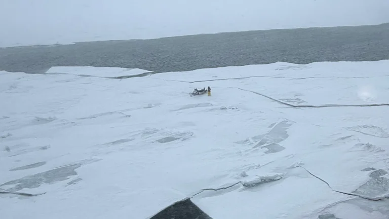
    A late-season blizzard affected northern Michigan between March 15 and 17, 2026, dropping up to 132.1 cm (52 inches) of snow in parts of the Upper Peninsula and breaking snowfall records at the National Weather Service office in Marquette. Governor Gretchen Whitmer declared a state of emergency on March 17 for seven counties in the Upper Peninsula and northern Lower Peninsula as heavy snow, ice, and strong winds disrupted travel and power service.

  • Atmospheric river forecast to stall over Washington, raising flood risk through March 20

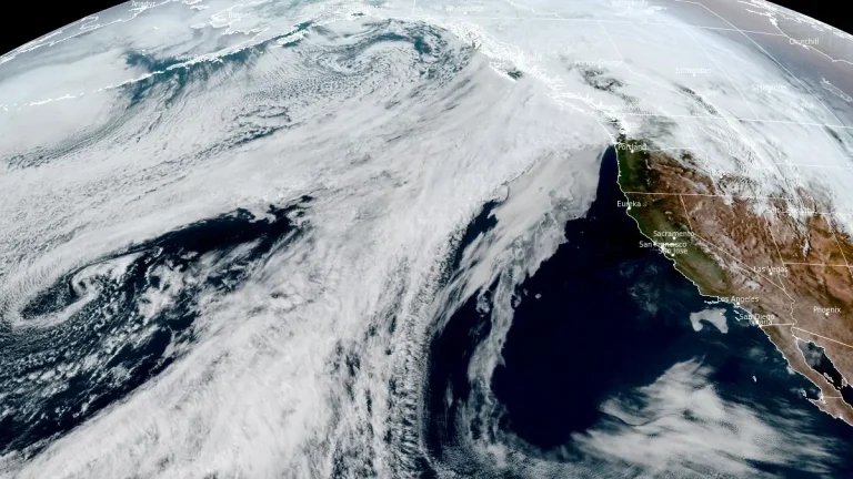
    A stalled atmospheric river over the Pacific Northwest is forecast to deliver 127–254 mm (5–10 inches) of precipitation to parts of Washington between March 17 and 20, 2026. High freezing levels above 2 100 m (7 000 feet) will result in rainfall across most elevations, accelerating snowmelt and increasing the likelihood of riverine flooding.

  • Tropical Cyclone Narelle forms in Coral Sea, forecast to intensify before Queensland impact, Australia

    ropical Cyclone Narelle developed in the northern Coral Sea on Tuesday, March 17, 2026, with sustained winds of 85 km/h (53 mph) and gusts to 120 km/h (75 mph). The system is moving west-southwest toward Far North Queensland and is forecast to intensify to severe tropical cyclone strength before approaching the coast later this week, with damaging winds, heavy rainfall, and coastal flooding being forecast.