
Rapid rainfall overwhelms Pennsylvania storm sewers, causing fatal floods, U.S.
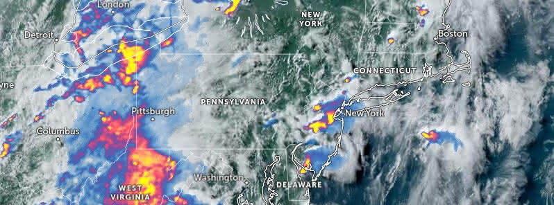
Featured image: Precipitation detected by radar at 21:20 UTC on July 15, 2023 (17:20 EDT, July 15). Image credit: NOAA/GOES-East, ZoomEarth, The Watchers
A severe flash flood caused by very heavy rainfall resulted in five confirmed deaths and left two children missing in Pennsylvania on Saturday, July 15, 2023. The deluge, measuring between 152 to 178 mm (6 – 7 inches) within 45 minutes, was said to have overwhelmed storm sewers, brooks, and streams.
Expanding on the severity of the situation, Fire Chief Tim Brewer of Upper Makefield reported that the flooding began around 17:00 LT and rapidly escalated. Brewer emphasized the speed and volume of the rainfall, noting it as a new benchmark for severe weather in the area, surpassing even the devastation of Hurricane Ida in 2021.
The victims, all adults, were among several individuals trapped in their vehicles on the flooded Washington Crossing Road. Of the eleven cars on the road, three were swept away by the floodwaters. Eight people were rescued from their vehicles, with two additional individuals rescued from Houghs Creek.
As the situation unfolded, the two missing individuals, a 9-month-old boy and a 2-year-old girl from the same family, were still being searched for by Sunday afternoon.
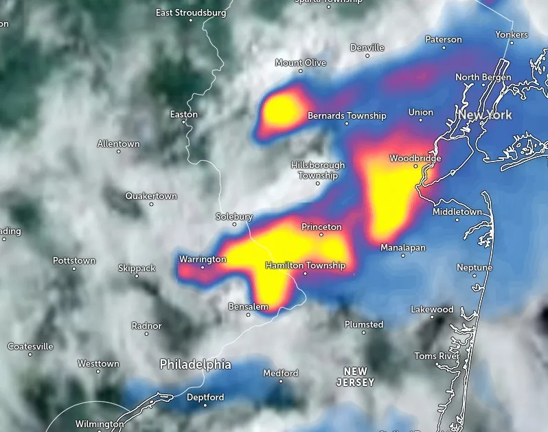
The impact of the rainfall was not limited to Pennsylvania. States across the Northeast, including Connecticut, New York, Massachusetts, Maine, and others experienced heavy rainfall, leading to flash flood warnings. An estimated 127 mm (5 inches) of rain fell in less than two hours on the east end of Long Island. In the New York metropolitan area, up to 50 mm (2 inches) of rain was forecast for Sunday afternoon.
Governor Kathy Hochul of New York issued a warning about the instability of the weather conditions, emphasizing the dangers of flash flooding. Air travel was also affected with flight disruptions reported at Newark Liberty International Airport in New Jersey and Kennedy International Airport in New York. Maryland officials also warned of expected “life-threatening flash flooding.”
Despite the efforts and warnings, the National Weather Service cautioned that heavy rainfall and flash flooding remained a concern for southeastern Pennsylvania. A flash flood warning was still in effect for several counties on Sunday morning, with more rainfall and storms anticipated throughout the day.
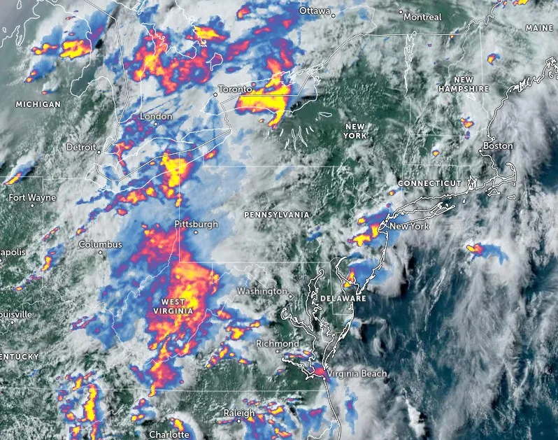
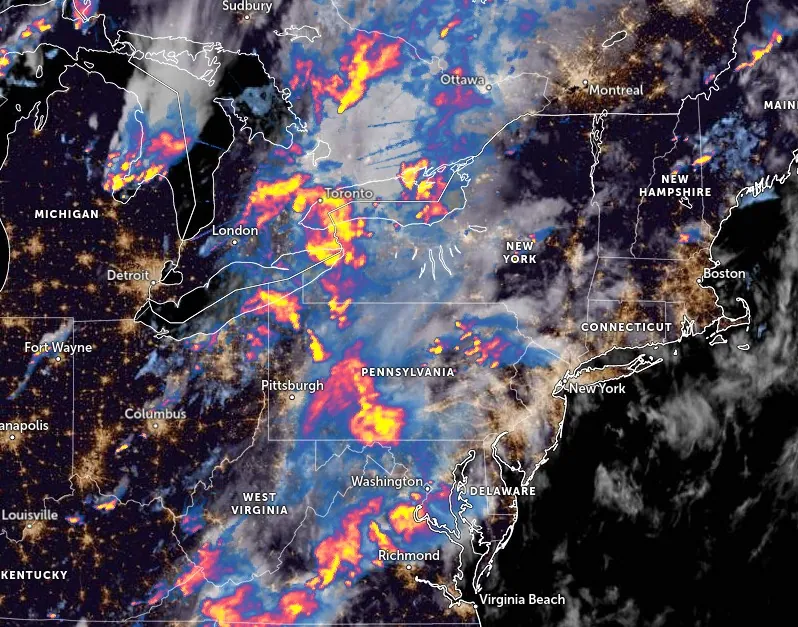
WPC issues Moderate Risk of excessive rainfall over New England
The Weather Prediction Center (WPC) has issued a Moderate Risk of excessive rainfall over parts of New England through Monday morning, July 17. This is due to the combined effect of the front and a plume of tropical moisture extending from the Central/Eastern Gulf Coast over the Mid-Atlantic coast into New England. The resultant showers and thunderstorms are expected to bring heavy rain, potentially triggering flash flooding and impacting larger rivers.
Alongside this, the Storm Prediction Center (SPC) has issued a Slight Risk of severe thunderstorms over parts of New England. Hazards associated with these storms include frequent lightning, severe thunderstorm wind gusts, a few tornadoes, and a minimal threat of hail.
The impacts are not restricted to the northeastern states. The front’s southern and western portions are also predicted to witness severe weather. Parts of eastern Texas and Louisiana are set to experience showers and thunderstorms with heavy rain. This has prompted the WPC to issue a Slight Risk of excessive rainfall over parts of the Southern High Plains/Lower Mississippi Valley through Monday morning. The associated rain could lead to localized areas of flash flooding, primarily affecting urban areas, roads, and small streams.
Simultaneously, a low-pressure wave extending from the Great Lakes southwestward to the Central Plains/Middle Mississippi Valley is forecasted to induce showers and severe thunderstorms over parts of Kansas and northwestern Missouri. The SPC has thus issued a Slight Risk of severe thunderstorms over parts of the Central Plains and Middle Mississippi Valley from Sunday into Monday morning. The associated hazards are frequent lightning, severe thunderstorm wind gusts, hail, and a minimal threat of tornadoes. Of particular concern is a threat of hail 5 cm (2 inches) or greater over central Kansas.
Looking ahead to Monday, meteorologists warn of severe weather in parts of Wyoming, South Dakota, and northeastern Nebraska. Showers and thunderstorms are expected along the western portion of the front. The SPC has issued a Slight Risk of severe thunderstorms over parts of the Northern/Central Plains from Monday through Tuesday morning, flagging the usual hazards as well as the possibility of hail 5 cm (2 inches) or greater.
References:
1 Five Dead in Flash Flooding in Philadelphia Suburbs – The New York Times – July 16, 2023
2 Short Range Forecast Discussion – NWS Weather Prediction Center College Park MD – 421 PM EDT Sun Jul 16 2023
I'm a dedicated researcher, journalist, and editor at The Watchers. With over 20 years of experience in the media industry, I specialize in hard science news, focusing on extreme weather, seismic and volcanic activity, space weather, and astronomy, including near-Earth objects and planetary defense strategies. You can reach me at teo /at/ watchers.news.
Commenting rules and guidelines
We value the thoughts and opinions of our readers and welcome healthy discussions on our website. In order to maintain a respectful and positive community, we ask that all commenters follow these rules.