
Storm knocks out radio frequencies, causing major delays at Sydney Airport
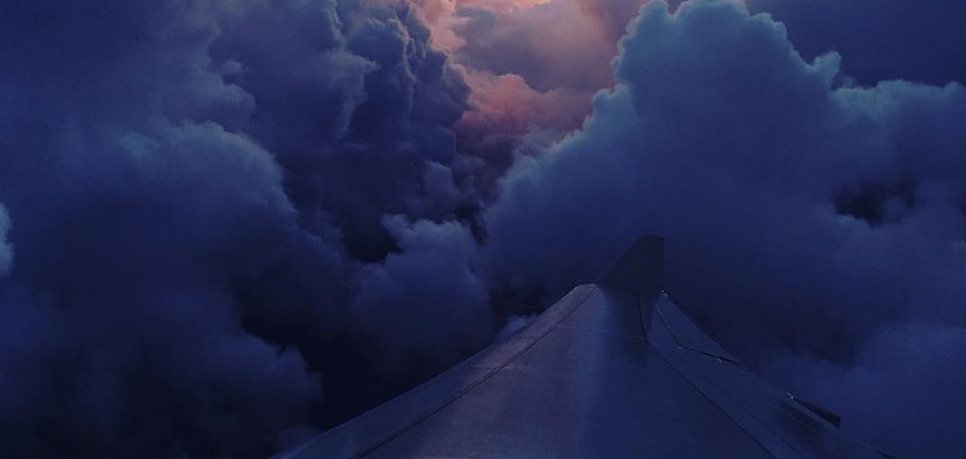
Image credit: TW
A strong thunderstorm rolled into Sydney area from the Tasman Sea late Tuesday, June 6, 2017, bringing strong winds and heavy rain. The storm caused loss of a number of radio frequencies, thus cutting communication between planes and the control tower at Sydney Airport, causing major flight delays.
Sydney's 'feel like' temperature dropped to 2.9 °C (37 °F) at midnight, just a few minutes before the storm rolled in. The heaviest overnight falls started around 00:30 AEST and continued through the rest of the night.
The storm further intensified shortly before 16:00 AEST and caused 'loss of a number of frequencies which have affected arriving and departing aircraft due to storm activity and poor weather,' Airservices Australia spokeswoman said.
"The outage ccurred during the late afternoon peak and planes had been placed in holding patterns above Sydney for up to an hour," she said. Contrary to some suggestions from passengers, Airservices said lightning did not strike the airport's control tower.
Although airtraffic has been mostly normalized by late Wednesday, authorities advised anyone traveling on Wednesday night to check their details.
According to figures provided by the Australian Bureau of Meteorology, Sydney's CBD received 52.2 mm (2 inches) of rain between 09:00 AEST on Tuesday and 06:30 on Wednesday, making it the wettest day in Sydney since February.
The heaviest rain was recorded in Little Bay, Sydney's south-east with 54 mm (2.1 inches) during the same period. Chatswood recorded 50 mm (1.9 inches), and Bondi 45 mm (1.8 inches).
According to Weatherzone, there were 1 426 lightning striks (ground and cloud events) within a 50 km (31 miles) radius of Sydney's CBD from midnight until 17:40 AEST.
Torrential downpours are affecting parts of #Sydney this afternoon, as thunderstorms roll in from the Tasman Sea. pic.twitter.com/2fmsbDbTBX
— Weatherzone (@weatherzone) June 7, 2017
Want to know how much rain has fallen today? Here's the map from 9am to 4pm. More on rain and river conditions at https://t.co/72XTO7o8rh pic.twitter.com/ifDziqU94c
— BOM New South Wales (@BOM_NSW) June 7, 2017
Currently tracking storm activity on coastal fringe between Port Stephens & Shoalhaven. Marine wind warnings at https://t.co/Ss766eSCrL pic.twitter.com/NjTWQm6GWG
— BOM New South Wales (@BOM_NSW) June 7, 2017
Sydney Storm: Lightning strike in the CBD at 7:15pm tonight. #Sydney #Lightning #7News pic.twitter.com/RlrtWw620c
— 7 News Sydney (@7NewsSydney) June 7, 2017
Ausgrid said up to 8 000 homes were without power from Cherrybrook, Pennant Hills and nearby subburbs.
Meteorologists expect heavy rain to ease from Thursday, but showery conditions will continue affecting the region until Sunday.
Featured image courtesy of Andrew Anywhere
I'm a dedicated researcher, journalist, and editor at The Watchers. With over 20 years of experience in the media industry, I specialize in hard science news, focusing on extreme weather, seismic and volcanic activity, space weather, and astronomy, including near-Earth objects and planetary defense strategies. You can reach me at teo /at/ watchers.news.
Commenting rules and guidelines
We value the thoughts and opinions of our readers and welcome healthy discussions on our website. In order to maintain a respectful and positive community, we ask that all commenters follow these rules.