
Rare weather anomaly builds severe heatwave in northeastern United States
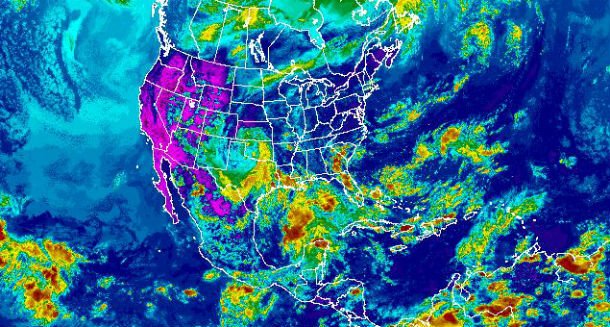
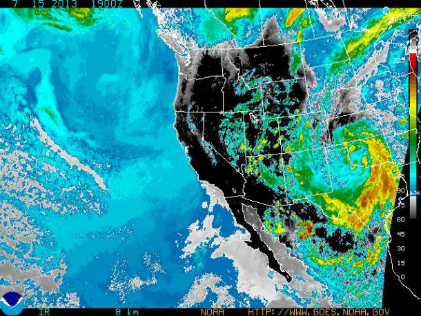
Featured image: GOES Composite Rainbow Infrared Ch4 satellite image acquired at 19:15 UTC on July 15, 2013. (Credit: NOAA/GOES)
A very rare weather pattern anomaly is in place over the U.S. An upper level ridge is centered over the Ohio Valley and the closed upper level low pressure system over the Texas/Oklahoma border, trapping hot humid air from a strong subtropical ridge of high pressure currently focused over the eastern U.S.
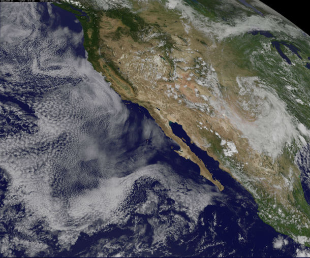
GOES West animated satellite image taken on July 15, 2013 – Click on the image to start an animation (Credit: NOAA/GOES)
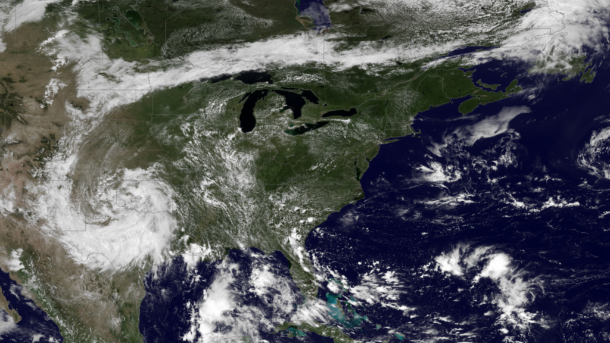
GOES East satellite image acquired at 16:45 UTC on July 15, 2013. (Credit: NOAA/GOES)
The closed low pressure system is expected to drift west toward New Mexico bringing heavy, localized rain to some areas and temperatures below mid-July averages, while the heat wave builds over East, bringing high temperatures, mostly above 90 degree Fahrenheit (32 degree Celsius). Baltimore and Washington can expect highest temperatures, above 100 degree Fahrenheit (38 degree Celsius).
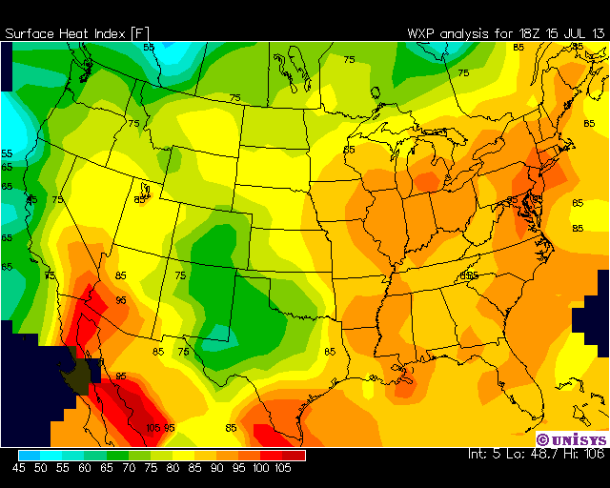
US surface heat index (Credit: WXP/UNISYS)
High daytime and nighttime temperatures, high humidity, intense sunshine and lack of wind are expected through the Northeast US. The National Weather Service has issued a heat advisory for all of Connecticut except shoreline areas, New York City and much of eastern Pennsylvania on July 15, 2013.
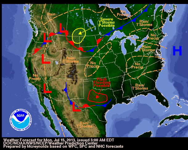
NOAA/NWS weather forecast graphic for July 15, 2013 (Credit: NOAA/WPC/SPC/NHC)
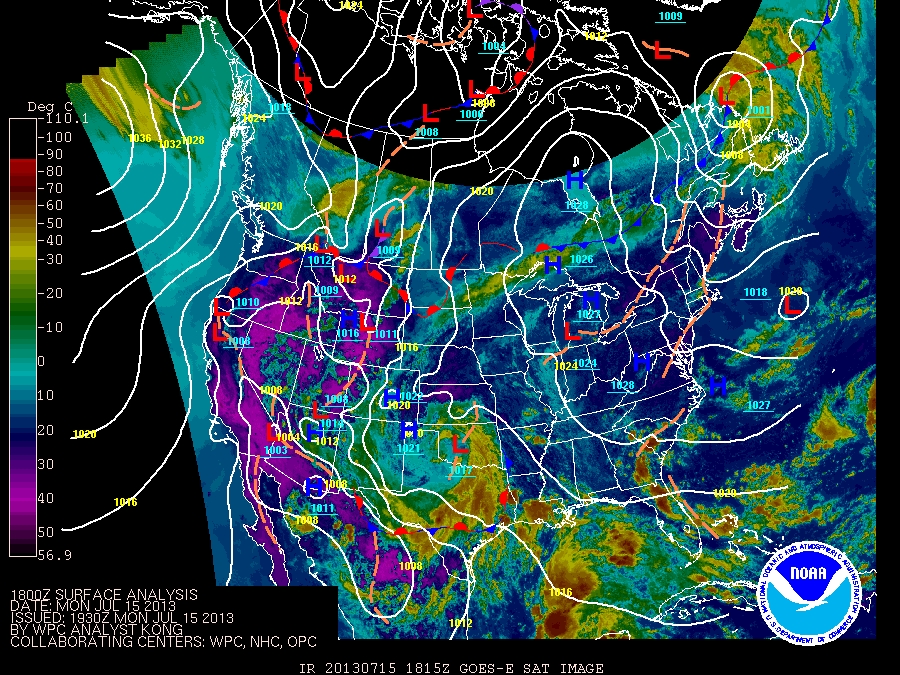
Surface analisys for Northern America (Credit: NOAA/WPC/NHC/OPC/GOES)
While heat wave builds over Northeast, much needed rainfall will bring drought relief to the Plains states. Maximum accumulated rainfall amounts of 1 to 3 inches (25 -75 mm) are expected across these areas, with possible amounts of 4 to 6 inches (100 – 150 mm) or higher, especially in the higher terrain. Localized heavy downpours will also bring the risk for flooding into the region. Heavy rain combined with the dry soil and rocky hillsides in some areas can lead to flash floods and mudslides.
GOES West Infrared Ch4 satellite image acquired at 10:00 UTC on July 15, 2013 (Credit: NOAA/GOES)
As low pressure tracks northeastward from southwestern Canada, it will take a cold front slowly across the north-central U.S. The shower and thunderstorm pattern is expected to return to the East Coast and Appalachians late in July and much of August.
Commenting rules and guidelines
We value the thoughts and opinions of our readers and welcome healthy discussions on our website. In order to maintain a respectful and positive community, we ask that all commenters follow these rules.