
Tropical Cyclone 03S formed in southern Indian Ocean
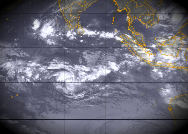
Image credit: Indian Ocean Infrared view (Meteosat 7; NRL)
The third tropical cyclone of the Southern Indian Ocean season formed on December 6, 2012. According to latest report by Joint Typhoon Warning Center (JTWC), Tropical Cyclone 03S is located approximately 385 nm southeast of Diego Garcia and is moving westward at speed of 08 knots. Recent animated enhanced infrared satellite imagery shows deep convection wrapping into a consolidating low-level circulation center with overall improved organization.
 Indian Ocean tropic weather outlook (Credit: CIMSS)
TC 03s is forecasted to generally track west to southwestward for the next 36 hours and slowly intensify as environmental conditions remain favorable.
 Forecast track (Credit: JTWC)
NASA’s Tropical Rainfall Measuring Mission satellite (TRMM) noticed some powerful thunderstorms around the center of circulation that hinted it would intensify from a low pressure area into a tropical storm in a short time. TRMM data also revealed a hot towering thunderstorm higher than 15 kilometers (9.3 miles ) around the center of circulation. A “hot tower” is a tall cumulonimbus cloud that reaches at least to the top of the troposphere, the lowest layer of the atmosphere. These towers are called “hot” because they rise to such altitude due to the large amount of latent heat. Water vapor releases this latent heat as it condenses into liquid.
 TRMM data on December 6 at 04:01 UTC revealed that the heaviest rain (red) in newborn Tropical Storm 03S was occurring around the western side, where there were areas of rain falling at a rate of 2 inches (50 mm) per hour. (Credit: NASA/TRMM)
Forecasters at the Joint Typhoon Warning Center expect TS03S to intensify over the next couple of days before it hits adverse atmospheric conditions. TS03S is currently no threat to land.
 Indian Ocean tropic outlook – globe view (Credit: JTWC/SATOPS)
Satellite Animations
- Storm-Centered Infrared (Meteosat 7; CIMSS)
- Storm-Centered Enhanced Infrared (Meteosat 7; CIMSS)
- Storm-Centered Water Vapor (Meteosat 7; CIMSS)
- Storm-Centered Visible (Meteosat 7; CIMSS)
- Meteosat 7 Infrared (Meteosat 7; CIMSS)
- Meteosat 7 Infrared (Color Background) (Meteosat 7; CIMSS)
- Meteosat 7 Infrared (NHC Color Enhancement) (Meteosat 7; CIMSS)
- Meteosat 7 Water Vapor (Meteosat 7; CIMSS)
- Meteosat 7 Water Vapor (Color Background) (Meteosat 7; CIMSS)
[…] Tropical Cyclone 03S formed in southern Indian Ocean. Share this:TwitterFacebookLinkedInTumblrMoreEmailPrintGoogle +1DiggRedditPinterestStumbleUponLike this:LikeBe the first to like this. […]
[…] Background) (Meteosat 7; CIMSS) Featured image: Indian Ocean Infrared view (Meteosat 7; NRL)Tropical Cyclone 03S formed in southern Indian OceanNo related […]