
The First True View of Global Erosion
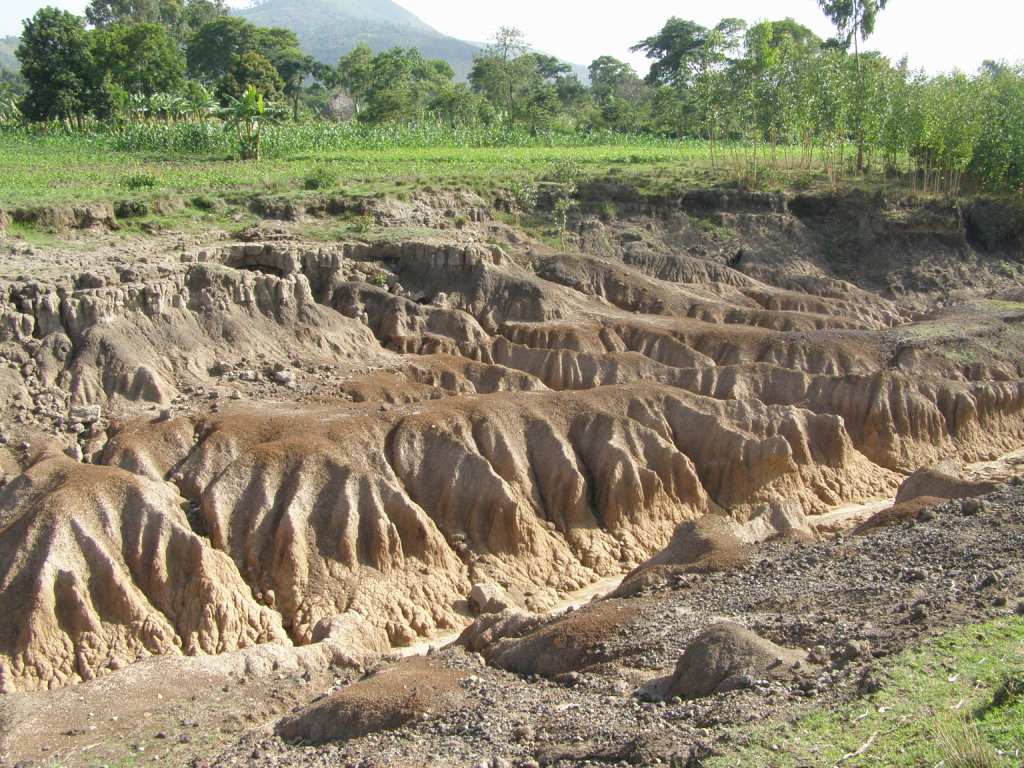
Image credit: TW
Geologist Paul Bierman from University of Vermont and his graduate student, Eric Portenga, have taken twenty years worth of this disparate data, compiled 1599 measurements from eighty-seven sites around the world, and recalculated it with a single, up-to-date method. Their work, “provides the first broad, standardized view of pre-human, geologic erosion rates,” they write in “Understanding Earth’s eroding surface with 10Be,” published in the August edition of GSA Today, an open-access journal, available online July 26, 2011.
Every mountain and hill shall be made low, declared the ancient prophet Isaiah. In other words: erosion happens. But for the modern geologist a vexing question remains: how fast does this erosion happen?
For more than a century, scientists have looked for ways to measure and compare erosion rates across differing landscapes around the globe—but with limited success. Since the mid-1980’s, measurements of a rare radioactive element—beryllium-10 that appears in quartz bombarded by cosmic rays in the top few feet of Earth’s surface—have greatly improved geologists’ ability to estimate erosion rates. But these experiments have been done on a local or regional scale, using a variety of methods, calculation constants, and corrections. Comparisons between climate zones and differing rock types have been difficult—cutting off a global perspective.

The method used in this new study can provide a good tool for measuring the sustainability of modern agricultural practices since the beryllium-10 data shows the rate at which landscapes have been changing in the recent geologic past: the last thousand to several-hundred-thousand years.
“If human impacts result in rates faster than we measure, it’s non-sustainable,” Paul Bierman says.
Portenga sees how this study can help managers in contested landscapes like the Chesapeake Bay.
“Regulators may want to stipulate an ideal amount of sediment coming out of a river system and they may say that they want to get this back to ‘normal’ standards or ‘normal rate.’ But what is that rate? What was the erosion like before people started interacting with the landscape?”
Not being able to answer that question well has contributed to many regulatory conflicts. This work can help give a better idea of what is normal. This new study also goes fairly far in identifying the environmental factors—including latitude, annual precipitation, and, especially, slope—that drive erosion rates in drainage basins. The mechanisms controlling erosion on outcrops of bedrock are less clear.

Using several statistical tests, researchers were able to explain about sixty percent of what controls differing erosion rates in drainage basins around the world. But their study only explains about thirty percent of the variability between outcrops of bedrock. This means geologists are missing a lot of the crucial information about what is controlling bedrock erosion,. Little-studied variables—like the density of fractures in bedrock, the strength of rocks, and their chemistry—may be controlling erosion rates, the study suggests.
The natural world is so complex and there are so many factors that contribute to how landscapes change over time. But as this method develops, researchers will have a better sense of what variables are important—and which are not—in this erosion story. For example, it has been a truism of geology for decades that rainfall is the biggest driver of erosion. Semi-arid landscapes with little vegetation and occasional major storms were understood to have the greatest rates of erosion. But this study challenges that idea.
“It turns out that the greatest control on erosion is not mean annual precipitation,” says Bierman. Instead, look at slope.“People had always thought slope was important,” Beirman says, “but these data show that slope is really important.”
Stages of Erosion
 | 1 Trampling, by a variety of agents, at first causes a change in vegetation from taller plants e.g. gorse, heather and bracken, to shorter grasses.2 Trampling, especially in extreme conditions, causes the mat of vegetation and roots to break up and expose the soil. 3 If the vegetation is not able to recover, then water run-off, combined with wind and frost begins to create gullies. 4 Further trampling combined with water, wind and frost action soon enlarges the gully and exposes the rocks beneath the soil 5 As the path becomes muddy and difficult to follow, people avoid the gully and the trampled area widens. |

Commenting rules and guidelines
We value the thoughts and opinions of our readers and welcome healthy discussions on our website. In order to maintain a respectful and positive community, we ask that all commenters follow these rules.