• Tropical Cyclone Dumile approaching La Reunion Islands

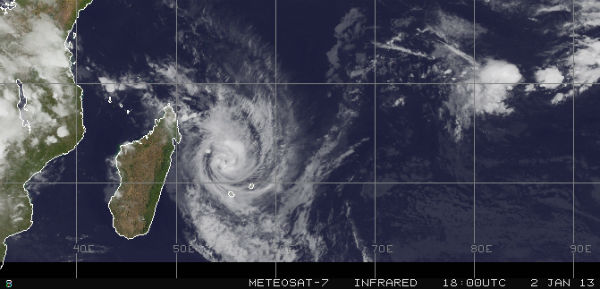
    Tropical Cyclone Dumile  is moving along the western edge of a subtropical ridge (elongated area) of high pressure. Forecasters at the JTWC expect Dumile to steadily intensify into a cyclone over the next two days. After that time, cooler sea surface temperatures will
  • Increased levels of dust in the air for the first day of 2013

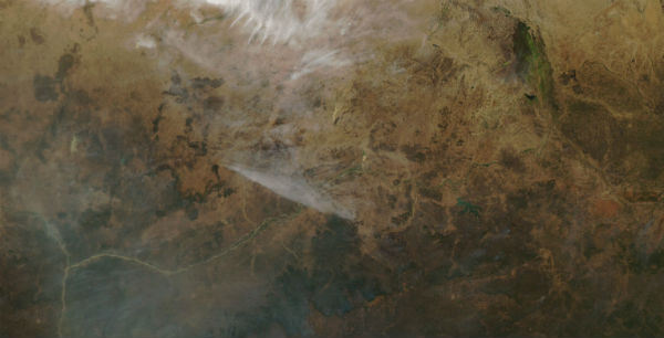
    Research has shown that dust storms are increasing  in the Sahara Desert and that in parts of North Africa, annual dust production has increased tenfold in the last 50 years. Since dust storms transport large amounts of material for long distances, their increasing

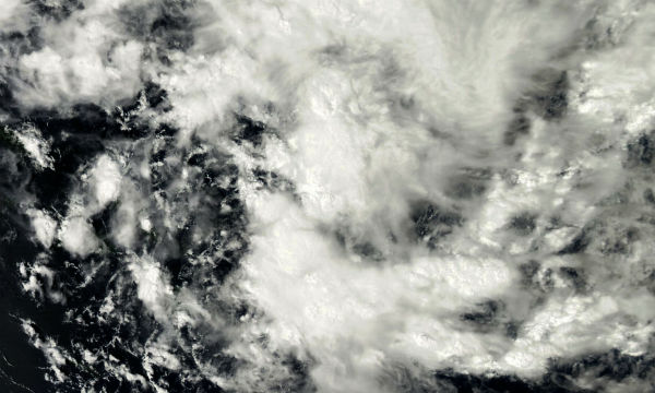
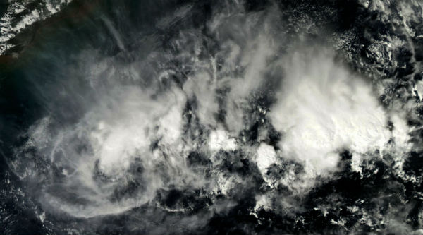
  • Area of convection developing near Vietnam

    An area of convection that formed in the South China Sea in late December can be seen here near the coast of Vietnam. The animated imagery shows the system is moving southwestward towards the Malay Peninsula. The area of convection is being monitored for possible

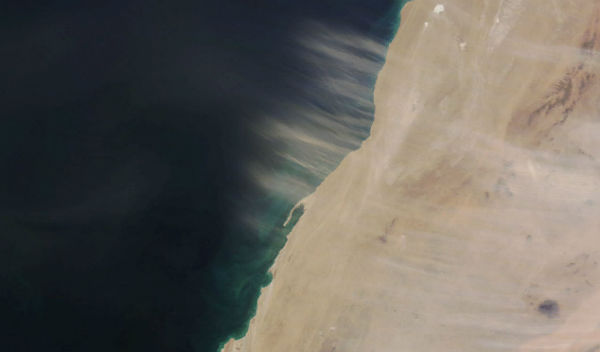
  • Dust over Wad Ad-Dahabnota Peninsula and near Canary Islands

    Dust blows off the coast of Western Sahara and towards the northwest, over the Atlantic Ocean. Visible through the dust is the Wad Ad-Dahabnota Peninsula, also known as the Villa Cisneros Peninsula while the region was under Spanish colonial rule. The Canary Islands

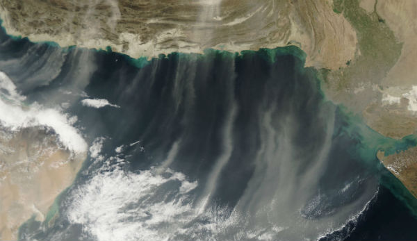
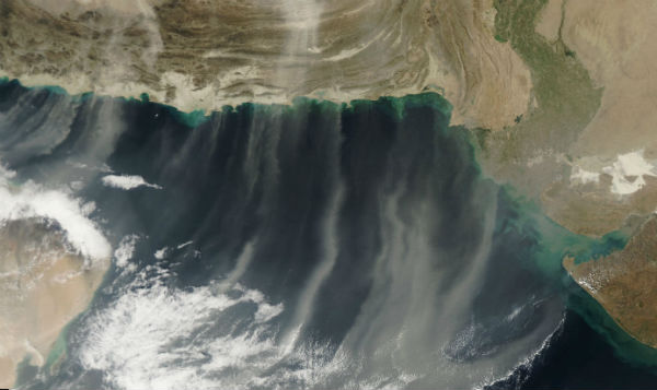
  • Parallel rows of dust over Arabian dust

    Dust blows over Afghanistan and off the coasts of Iran and Pakistan. Air currents cause it to form long, parallel rows rather than an indistinct cloud. The dust reaches far over the Arabian Sea, where it is then swept westwards towards the Arabian Peninsula. Dust

  • Tropical Storm Freda (05P) formed near Solomon Islands

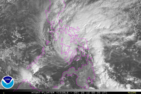
    December 26, RSMC Nadi started to monitor a tropical disturbance that had developed about 1075 km (670 miles) to the north of Port Vila, Vanuatu. During that day, the disturbance moved westwards and developed into a tropical depression.Now known as Tropical Storm

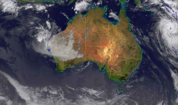
  • Tropical Cyclone Mitchell formed near Western Australia

    TCWC Perth started to monitor a weak tropical low that had developed about 1,265 km (785 miles) to the southeast of Jakarta, Indonesia. Over the next couple of days the low moved towards the south-southwest and gradually developed further before the JTWC declared it

  • Haze over Eastern China

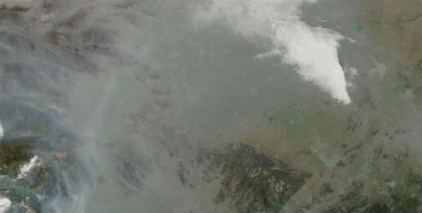
    Haze hangs over eastern China, particularly in the lowlands between ridges of hills and mountains and across the coastal plain by the mouth of the Yangtze River. The haze is likely a combination of dust and air pollution. In winter in China, poor air quality often the

  • Plumes of dust by Lake Chad and Aïr Mountains, Chad and Niger

    Three plumes of dust from the Sahara Desert can be seen blowing west-southwestward in this image of West Africa. Near the center, northeast of Lake Chad, are two light, parallel plumes originating from the Bodélé Depression, in Chad. Near the left edge, south of the