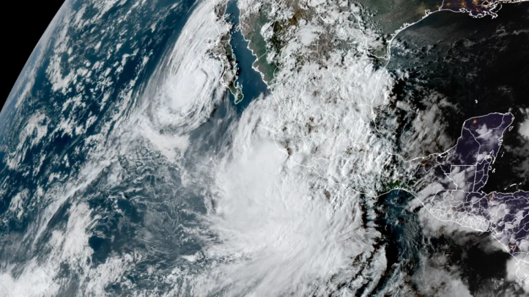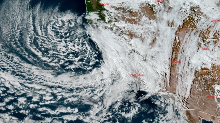
Rare October storm prompts rescues and tornado warnings in central and southern California
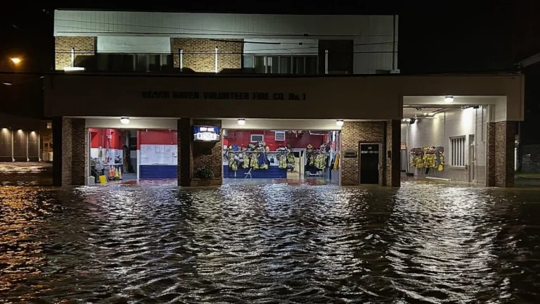
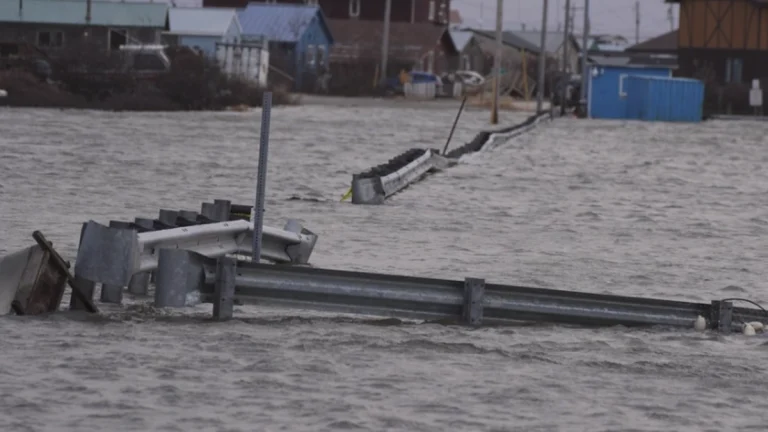
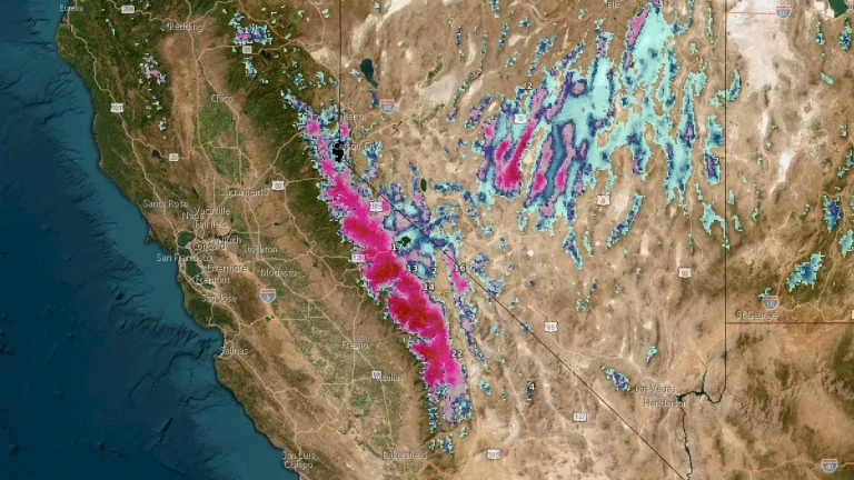
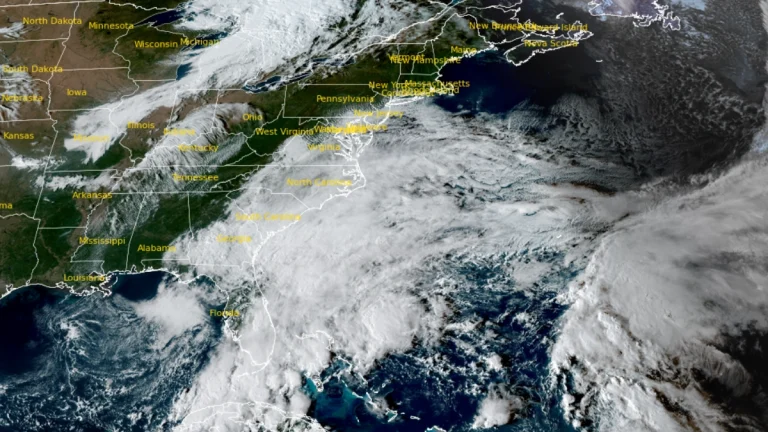
Tornado warnings were issued across parts of Central California, including San Luis Obispo County, as a rare October storm brought heavy rainfall, gusts exceeding 110 km/h (70 mph), and localized flooding on October 13–14, 2025. Evacuation warnings were declared in Los Angeles County for burn-scar areas at risk of debris flows, while forecasters maintained a marginal tornado risk for southern coastal regions.