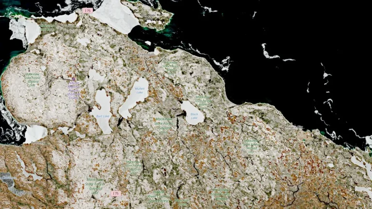
• Floods in Evros River basin damage over 60 000 ha (150 000 acres) of farmland, threaten 2026 planting season, Greece

    Prolonged rainfall and cross-border inflows have triggered a state of emergency across northeastern Greece, where severe flooding along the Evros River in February 2026 submerged tens of thousands of acres of farmland and destroyed wheat, barley, lentil, and alfalfa crops. No fatalities have been confirmed, but authorities warn of extensive economic losses for the region’s farm sector.

  • Persistent slab avalanche danger expected across the Cascades this weekend

    Persistent slab avalanche hazards will be the main concern across the Cascade Range this weekend, according to the Northwest Avalanche Center. Forecasters say buried weak layers and recent wind loading have brought several zones close to a “tipping point,” warning that human-triggered avalanches remain possible even under clear skies.

  • Desert rainfall anomaly triggers major flooding across central Australia

    A near-stationary tropical low has triggered one of the most significant inland rainfall events in recent decades, inundating vast areas of central Australia and prompting disaster declarations across the Northern Territory. More than 600 mm (24 inches) of rain has been recorded at some remote stations, with additional heavy rainfall forecast to expand south into South Australia and Victoria through early next week, increasing the risk of further flooding. Meteorologists described it as a remarkable and highly unusual meteorological event.

  • Polar vortex split to impact Northern Hemisphere weather in March 2026

    Another warming of the Arctic stratosphere is now underway, with the polar vortex forecast to undergo a final split in March 2026. The zonal mean wind reversal around 60°N and 10 hPa is expected between February 28 and March 1, with its impacts propagating into the troposphere, likely shifting weather patterns over Europe and North America.

  • Vanuatu issues Red alert for Tafea Province as Tropical Cyclone Urmil intensifies

    Tropical Cyclone Urmil formed on February 27, 2026, south of Vanuatu, prompting a Red Alert for Tafea Province as the system began strengthening over the region. At 09:00 UTC, Urmil had intensified to 102 km/h (63 mph) and was moving southeast at about 15 km/h (9 mph). The cyclone is forecast to strengthen further over open waters between Vanuatu and Fiji, potentially reaching Category 2 intensity.

    Urmil is the first named storm of the 2025–26 South Pacific cyclone season. It set a new record as the latest-ever first named cyclone in the basin, surpassing Cyclone Bart, which was named on February 21, 2017.

  • Kanlaon eruption sends ballistics 1.5 km high, triggers PDCs, forest fires and ashfall across 121 barangays

    A significant explosive eruption occurred at Kanlaon Volcano, Philippines, at 19:04 local time (LT) on February 26, 2026, sending a dense ash plume 2.5 km (1.6 miles) above the crater and producing pyroclastic density currents (PDCs) that descended its upper slopes. The eruption lasted two minutes and was followed by 77 minutes of continuous ash emission dispersed over southern Negros Island.

  • Confirmed tornado damages multiple homes in Pinson, Alabama

    A confirmed tornado touched down in Jefferson County, Alabama, on February 26, 2026, damaging multiple homes in the Pinson area. Severe thunderstorms moved across parts of northern and central Alabama, bringing strong winds and large hail to Jefferson, St. Clair, Blount, and Calhoun counties, along with strong, damaging winds.

  • Post-season NHC report finds Melissa tied for strongest Atlantic hurricane by maximum sustained wind

    NOAA’s final Tropical Cyclone Report confirms that Hurricane Melissa reached Category 5 intensity with peak 1-minute sustained winds of 306 km/h (190 mph), tying for the highest maximum sustained wind speed on record in the Atlantic basin, and a minimum central pressure of 892 hPa. The hurricane made landfall near New Hope, Jamaica, at 17:25 UTC (13:25 LT) on October 28, 2025, resulting in 45 fatalities in Jamaica and 95 across the region, with economic losses in Jamaica estimated at USD 8.8 billion.

  • Another storm strikes Juiz de Fora as death toll climbs to 49 in Minas Gerais, Brazil

    Another storm system is bringing heavy rainfall across Juiz de Fora in Minas Gerais, as the death toll from the previous storm climbed to 49 on February 26, 2026. The government has allocated nearly USD 10 million for relief efforts across Minas Gerais, of which more than 7 million is to be used just for Juiz de Fora. The heavy ongoing rainfall has also made it difficult to plant corn crops in the region as saturated soils have made it difficult to prepare and work in the fields.

  • Record-breaking February temperatures spread across France

    Temperatures in France reached levels typical of May on February 25–26, 2026, breaking multiple February records, according to Météo-France. The highest readings occurred in the southwest, where Pomps (Pyrénées-Atlantiques) reached 28.4°C (83.1°F) and Orthez (Pyrénées-Atlantiques) 28.3°C (82.9°F), about 14°C (25°F) above normal. Several other stations also registered new monthly records.