• Heavy marks of snow in northern Africa

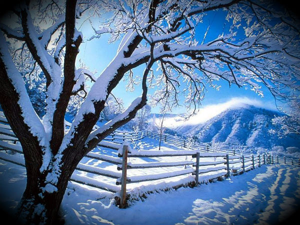
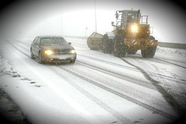
    The severe winter cold and snow that battered Europe over three weeks also left a heavy mark on Mediterranean coast of northern Africa. Eastern Atlas mountain region of northeastern Algeria and northwestern Tunisia likely caught the worst of the snow as heavy storm
  • New activity at Kanaga volcano, Alaska

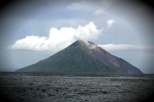
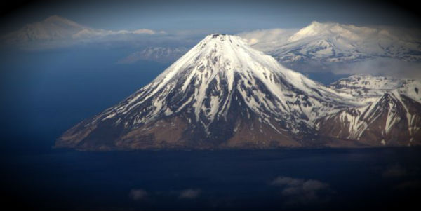
    Kanaga volcano, located about 50 km (32 miles) east of Adak, has been reportedly erupting over the weekend. Recent satellite images showed a weak volcanic ash plume spotted via satellite and local seismic stations recorded. Alaska Volcano Observatory (AVO)  raised

  • World’s driest desert hit by flash floods

    Northern Chile’s part of Andes, one of the driest places on Earth, was hit by torrential rains that caused flash floods. San Pedro de Atacama and Tonocao are two high Atacama Desert towns that were hit by muddy-brown water destruction event with floodwaters up to two

  • TC Giovanna and TC Hilwa ravaging in South Indian Ocean

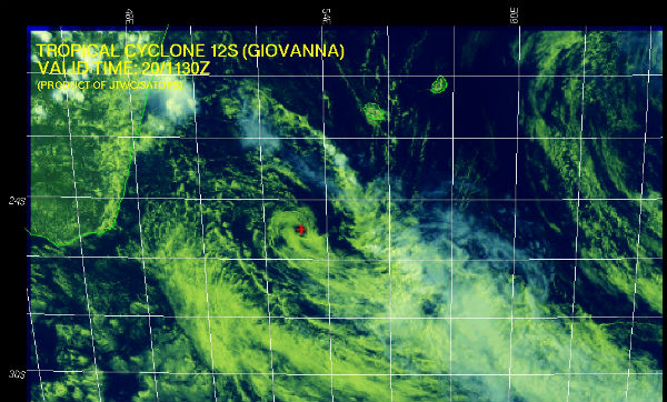
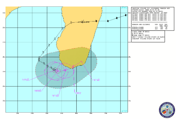
    TC Giovanna’s center  is currently located off the southeast coast of Madagascar, about 490 nm southeast of Antananarivo, a capitol of Madagascar, and is moving northwestward at 9 knots over the past six hours according to Joint Typhoon Warning Center (JTWC). The low

  • Unusual number of vortices formed around the globe

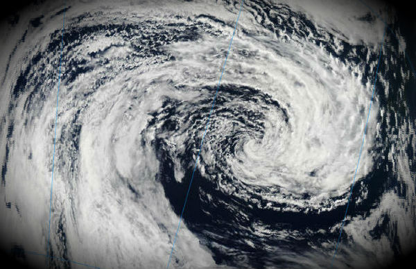
    During our daily MODIS satellite imagery check up we noticed unusual number of newly formed vortices around the globe. Maybe the most significant is one called Tropical cyclone Giovanna which is located in Mozambique Channel and now is battering Madagascar’s southeast

  • How much snow is on the ground!?

    Snow represents both a hazard and a water resource. Both require detailed assessments of snow amounts and depth. Traditional measuring devices such as snow gauges and yardsticks are often inadequate for capturing snow totals that may vary even within a single field or

  • Agricultural fires in Indochina seen from satellite

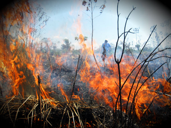
    Late winter or early spring is the time scheduled for farmers in Southeast Asia for preparing land for seasonal agriculture, usually for planting crops. On February 14, 2012, the Moderate Resolution Imaging Spectroradiometer (MODIS) aboard NASA’s Aqua satellite