Very bright fireball streaks across the skies of eastern Tasmania
A very bright fireball was seen over the skies of eastern Tasmania at approximately 11:28 UTC (21:28 LT) on May 10, 2026.


Rishav Kothari is Editor-in-Chief of The Watchers, where he runs the newsroom and covers earthquakes, volcanoes, severe weather and space weather.
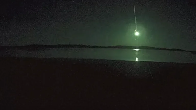
A very bright fireball was seen over the skies of eastern Tasmania at approximately 11:28 UTC (21:28 LT) on May 10, 2026.
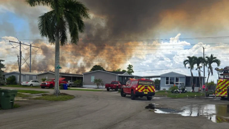
A large wildfire burning in western Broward County, Florida, has scorched nearly 2 023 ha (5 000 acres) as of May 11, 2026, sending smoke toward the Pembroke Pines area while fire crews worked to contain the blaze. It was 20% contained after burning approximately 1 942 ha (4 800 acres), according to the Florida Forest Service (FFS).
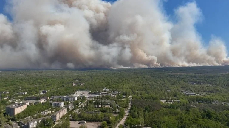
A massive forest fire broke out in Ukraine’s Chernobyl exclusion zone on May 7, 2026, following the crash of two drones and has spread across approximately 1 200 ha (2 965 acres), according to the Chornobyl Radiation and Ecological Biosphere Reserve (CREBR). While the fire situation is under control as of May 9, the threat of landmines in the area coupled with strong winds and dry air continues to complicate suppression efforts.
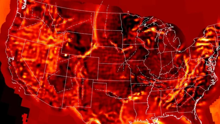
A first-of-its-kind continent-scale conductivity map made using over 1 700 magnetotelluric stations deployed across the United States has revealed buried tectonic fragments beneath eastern North America, allowing researchers to reconstruct the continent’s deep electrical structure while exposing conductive regions linked to ancient continental collisions, mineral systems, and geomagnetic storm hazard propagation.
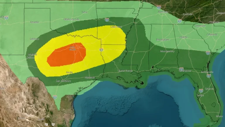
An Enhanced Risk (level 3/5) for severe thunderstorms has been issued across parts of west-central and north-central Texas through May 10, 2026. Supercells capable of producing hailstones larger than 5 cm (2 inches) and wind gusts above 113 km/h (70 mph) are forecast to develop during the afternoon and evening hours. The severe-weather threat extends east-northeastward into the Ark-La-Tex region and parts of the lower Mississippi Valley.
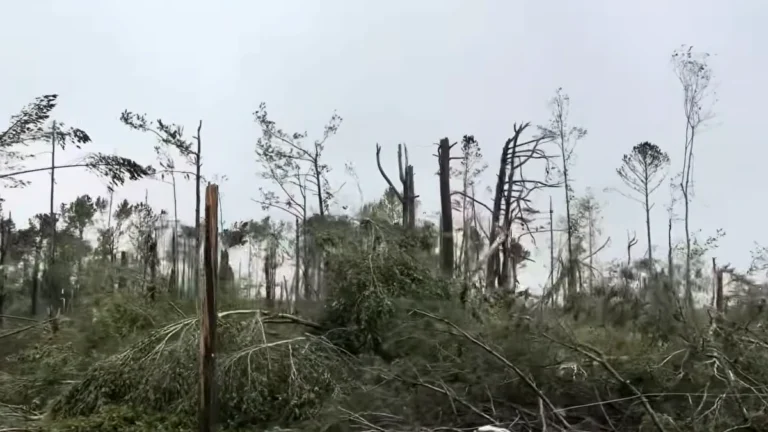
The National Weather Service office in Jackson, Mississippi, determined after additional damage surveys that two EF3 tornado tracks documented during the May 6-7, 2026 severe weather outbreak were part of one continuous long-track tornado. Survey teams also confirmed an EF2 tornado near Purvis in Lamar County as assessments continued across southern Mississippi.
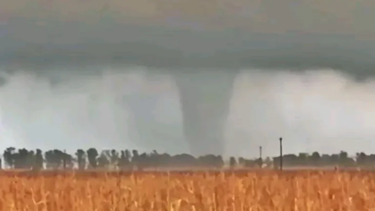
A tornado touched down in the Las Flores District of Buenos Aires, Argentina, on May 6, 2026. At least 4 people were injured after a house was destroyed, burying the family within the rubble. Widespread damage was reported in the surrounding areas.
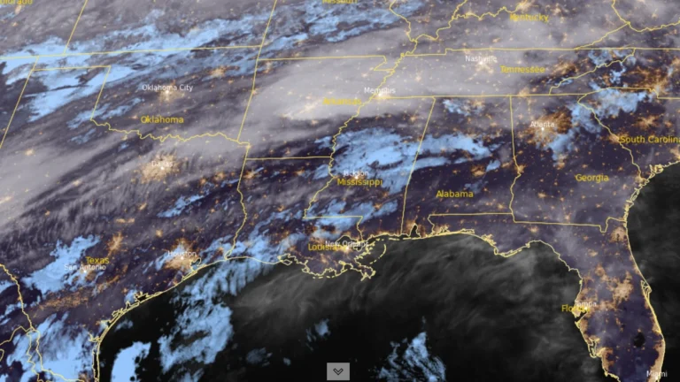
An Enhanced Risk (Level 3/5) of severe thunderstorms has been issued for parts of the Lower Mississippi Valley on May 6, 2026, as forecasters warned that storms capable of producing damaging winds, large hail, and tornadoes are expected to develop from the Southern Plains into the Southeast. Heavy rainfall rates of 25 to 50 mm (1 to 2 inches) per hour may also accompany stronger storms across the region.
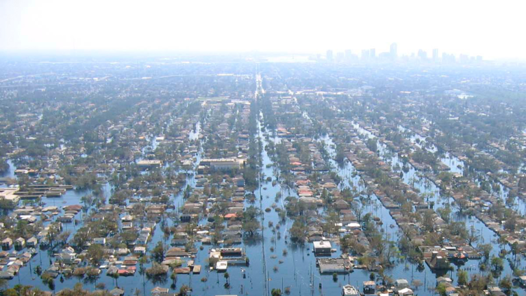
Flood risk along the U.S. Gulf and Atlantic coasts affects a disproportionate share of the population, with 16.7% living in very high-risk zones that cover just 1.1% of land, according to a new study. New York City and New Orleans rank among the most exposed urban areas, with up to 4.75 million residents at risk in New York and nearly 99% of New Orleans’ population located in flood-prone zones. High-risk areas account for another 3.5% of land but include 16.21% of residents.
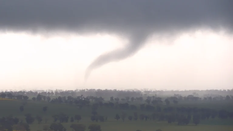
At least 28 homes and a vehicle were damaged after a tornado struck the Harjowinangun and Kebsonsari villages in Central Java, Indonesia, on May 2, 2026.
