
242 earthquakes in 24 hours, high-temperature volcanic gases at Taal volcano, Philippines
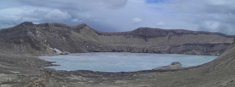
Image credit: PHIVOLCS
In 24 hours to 00:00 UTC on March 15, the Taal Volcano Network recorded 252 volcanic earthquakes, including 17 episodes of volcanic tremor with durations of 1 to 4 minutes and 5 hybrid events, PHIVOLCS reports.
During the same period, activity at the Main Crater consisted of moderate emission of steam-laden plumes from fumarolic vents that rose 10 m (33 feet) high.
An upwelling of high-temperature volcanic gases at the lake's surface was observed last night from 18:30 to 20:45 LT.
Sulfur dioxide (SO2) emission that averaged 518 tonnes/day was measured yesterday, March 14.
Temperature highs of 71.8 °C (161 °F) and pH of 1.59 were last measured from the Main Crater Lake on March 4 and February 12, 2021, respectively.
Ground deformation parameters from electronic tilt, continuous GPS, and InSAR data analysis indicated very slow and steady inflation and expansion of the Taal region since after the January 2020 eruption. These parameters may indicate increased magmatic activity at shallow depths beneath the edifice.
The Alert Level remains at 2 (Increased Unrest) since March 9, and PHIVOLCS reminds the public that sudden steam-driven or phreatic explosions, volcanic earthquakes, minor ashfall, and lethal accumulations or expulsions of volcanic gas can occur and threaten areas within the Taal Volcano Island (TVI).
The Institute strongly recommends that entry into TVI, Taal’s Permanent Danger Zone or PDZ, especially the vicinities of the Main Crater and the Daang Kastila fissure, must remain strictly prohibited.
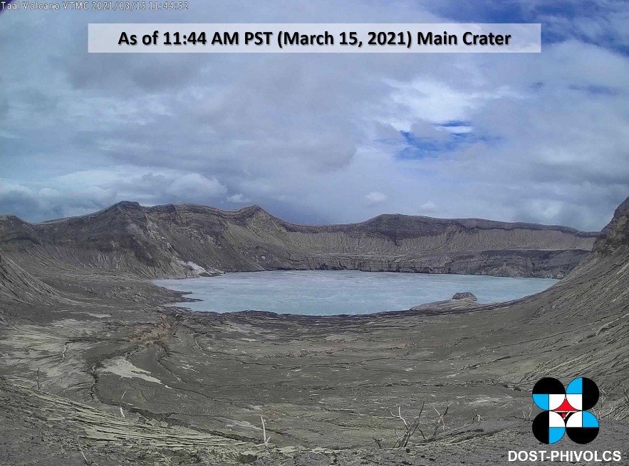
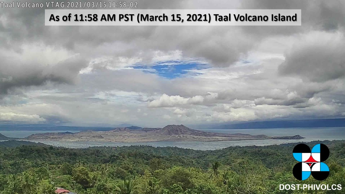
Image credit: PHIVOLCS
Disaster response officials have ordered the evacuation of residents living near the volcano on February 16, 2021.
Taal erupted in January 2020 for the first time in decades, ejecting volcanic ash up to 16.7 km (55 000 feet) above sea level and affecting the lives of at least 500 000 people.
Geological summary
Taal is one of the most active volcanoes in the Philippines and has produced some of its most powerful historical eruptions. Though not topographically prominent, its prehistorical eruptions have greatly changed the topography of SW Luzon.
The 15 x 20 km (9 x 12 feet) Talisay (Taal) caldera is largely filled by Lake Taal, whose 267 km2 (103 mi2) surface lies only 3 m (9.8 feet) above sea level.
The maximum depth of the lake is 160 m (525 feet), and several eruptive centers lie submerged beneath the lake. The 5 km (3.1 miles) wide Volcano Island in north-central Lake Taal is the location of all historical eruptions.
The island is composed of coalescing small stratovolcanoes, tuff rings, and scoria cones that have grown about 25% in the area during historical time. Powerful pyroclastic flows and surges from historical eruptions have caused many fatalities. (GVP)
I'm a dedicated researcher, journalist, and editor at The Watchers. With over 20 years of experience in the media industry, I specialize in hard science news, focusing on extreme weather, seismic and volcanic activity, space weather, and astronomy, including near-Earth objects and planetary defense strategies. You can reach me at teo /at/ watchers.news.
Commenting rules and guidelines
We value the thoughts and opinions of our readers and welcome healthy discussions on our website. In order to maintain a respectful and positive community, we ask that all commenters follow these rules.