
Forced evacuation of communities near Taal volcano, Philippines
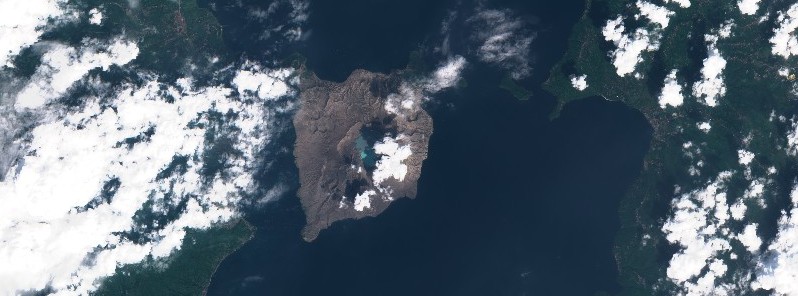
Featured image: Taal volcano on February 11, 2021. Credit: Copernicus EU/Sentinel-2, TW
Philippine disaster response officials have ordered the evacuation of residents living near Taal volcano on February 16, 2021, after continued increased activity at the volcano. Taal erupted in January 2020 for the first time in decades, ejecting volcanic ash up to 16.7 km (55 000 feet) above sea level and affecting the lives of at least 500 000 people.
According to NDRRMC, evacuation orders are in effect for people living within the volcano island, particularly those in two rural communities in the Talisay municipality.
The order was issued after PHIVOLCS recorded 98 tremor episodes with durations of 5 to 12 minutes in 24 hours to 00:00 UTC (08:00 LT) on February 16.
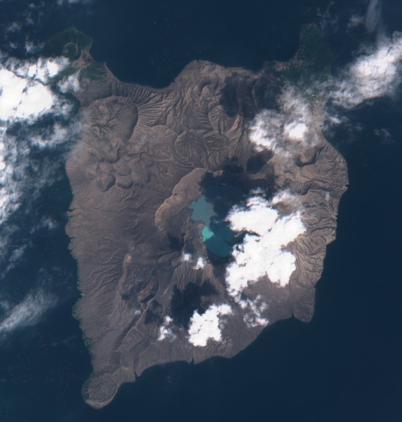
During the same period, activity in the Main Crater consisted of weak emission of white steam-laden plumes from fumaroles that rose 5 m (16 feet) high.
Temperature highs of 77.1 °C (170.8 °F) and pH of 1.59 were last measured from the Main Crater Lake on February 12, 2021.
Ground deformation parameters from continuous electronic tilt on Volcano Island record a slight deflation around the Main Crater since October 2020 but overall, very slow and steady inflation of the Taal region has been recorded by continuous GPS data after the eruption.
The Alert Level remains at 1 (Abnormal). PHIVOLCS reminds the public that at this level, sudden steam-driven or phreatic explosions, volcanic earthquakes, minor ashfall, and lethal accumulations or expulsions of volcanic gas can occur and threaten areas within the Taal Volcano Island (TVI).
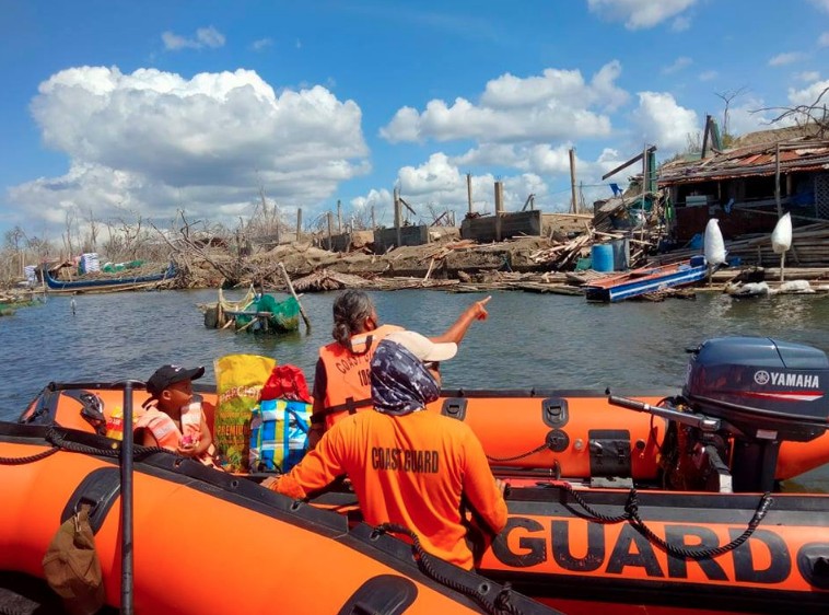
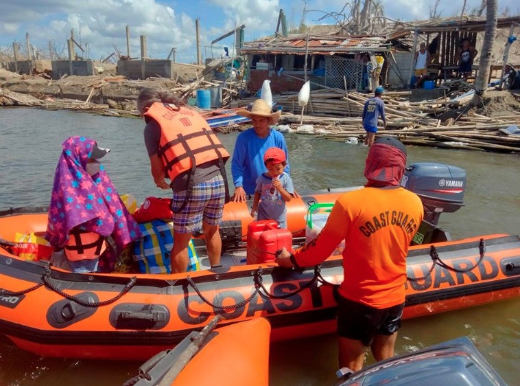

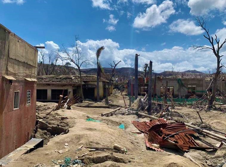
Image credit: Philippine Coast Guard
Taal volcano on February 11, 2021. Credit: Copernicus EU/Sentinel-2, TW
Entry into TVI, Taal’s Permanent Danger Zone or PDZ, especially the vicinities of the Main Crater and the Daang Kastila fissure, must remain strictly prohibited.
Local government units are advised to continuously assess previously evacuated barangays around Taal Lake for damages and road accessibilities and to strengthen preparedness, contingency, and communication measures in case of renewed unrest.
People are also advised to observe precautions due to possible ashfall, ground displacement across fissures and minor earthquakes in the event of a phreatic eruption.
Civil aviation authorities advised pilots to avoid flying close to the volcano as airborne ash and ballistic fragments from sudden explosions and wind-remobilized ash may pose hazards to aircraft.
Taal started erupting at 06:04 UTC on January 12, 2020, for the first time since 1977. The volcanic ash cloud reached up to 16.7 km (55 000 feet) above sea level, according to data provided by the Tokyo VAAC.
PHIVOLCS raised the Alert Level at 08:00 UTC to 3 and to 4 (hazardous eruption imminent) at 11:30 UTC.
Taal volcano erupts! I'm here at Puerto Galera with my workfriends rn. I am afraid. Let's all pray… pic.twitter.com/YaEH0nec4s
— 전 사라 ⁷ (@seokjanekook) January 12, 2020
¿Por qué se producen rayos en una erupción volcánica?
La expulsión y fricción entre partículas y gases genera estática y separación de cargas (+|-) resultado = descargas eléctricas “rayos”#TaalVolcanoEruption #Taal
Créditos fotos: ABS-CBN News pic.twitter.com/Da6HqbMeQs— Geól. Sergio Almazán (@chematierra) January 12, 2020
Geological summary
Taal is one of the most active volcanoes in the Philippines and has produced some of its most powerful historical eruptions. Though not topographically prominent, its prehistorical eruptions have greatly changed the topography of SW Luzon.
The 15 x 20 km (9 x 12 feet) Talisay (Taal) caldera is largely filled by Lake Taal, whose 267 km2 (103 mi2) surface lies only 3 m (9.8 feet) above sea level.
The maximum depth of the lake is 160 m (525 feet), and several eruptive centers lie submerged beneath the lake. The 5-km-wide (3.1 miles) Volcano Island in north-central Lake Taal is the location of all historical eruptions.
The island is composed of coalescing small stratovolcanoes, tuff rings, and scoria cones that have grown about 25% in the area during historical time. Powerful pyroclastic flows and surges from historical eruptions have caused many fatalities. (GVP)
I'm a dedicated researcher, journalist, and editor at The Watchers. With over 20 years of experience in the media industry, I specialize in hard science news, focusing on extreme weather, seismic and volcanic activity, space weather, and astronomy, including near-Earth objects and planetary defense strategies. You can reach me at teo /at/ watchers.news.
Commenting rules and guidelines
We value the thoughts and opinions of our readers and welcome healthy discussions on our website. In order to maintain a respectful and positive community, we ask that all commenters follow these rules.