
Major snow and cold threaten parts of Atlantic Canada as Colorado low takes unusual path
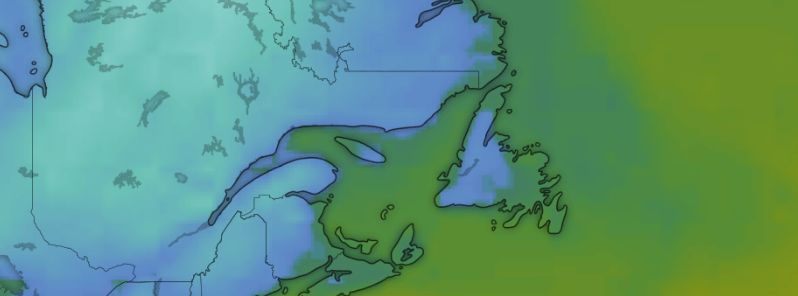
Image credit: windy.com
A significant Colorado low is set to head towards Atlantic Canada early Thursday, November 28, 2019, which is expected to bring snow to spots that have not seen it this fall. Northwest winds behind the system will also blow brisk wind and onshore snow for the weekend, November 30 to December 1.
The low will have a much "wintrier" look than what has been seen so far this season, according to meteorologists from The Weather Network.
Most storms this season the region has seen so far this year have moved up the coast from the US and were bringing more rain and snow across the Maritimes and Newfoundland.
However, the next storm is taking an unusual track, cutting south from northern Ontario to cut across the Maritimes west to east.
"That's likely to allow cold air and a much more wintry taste to intrude further south," TWN meteorologists said.
"An initial push of rain is expected Wednesday night across Nova Scotia and southern New Brunswick before transitioning to heavy snow for much of New Brunswick on Thursday with some mixing inland for areas of southern Nova Scotia."
Maritimes Timeline
Our next system arrives tonight.
We'll see accumulating snow for inland & high elevations of southern New Brunswick & Nova Scotia thru Thursday.
Mix of snow & rain along coasts.
Gusts 50-80 km/h.
Tapering to showers & flurries Thu Eve/Night.#nsstorm #nbstorm pic.twitter.com/Jnge8xaPt1— Ryan Snoddon (@ryansnoddon) November 27, 2019
Here's a look at the current Satellite & Radar for Aroostook County and western New Brunswick. #mewx #nbstorm pic.twitter.com/4XEpk1QHbG
— Robert Grimm (@robertgrimm_wx) November 27, 2019
The heaviest snow is expected to fall on the northern areas of the Bay of Fundy. Portions of Nova Scotia could also see at least some accumulation of wet snow through Thursday.
Between 50 to 100 mm (2 to 4 inches) of snow is expected mainly inland and over higher lands.
Cold air behind the system will also spread snow across most parts of Newfoundland by the end of the week.
NEW | Mix of rain and snow on the way for Newfoundlandhttps://t.co/gXPdDcYP8y#cbcnl #nlwx pic.twitter.com/bShupx8uyS
— CBC Newfoundland and Labrador (@CBCNL) November 27, 2019
"This would be the first significant snow of the season for St. John's, Newfoundland on Friday, but the snow is expected to change to rain across the Burin and Avalon Peninsulas," said Weather Network meteorologist, Dr. Doug Gillham.
Some of the coldest temperatures experienced this season will flood into the region by the weekend due to the bracing northwest winds. Sea-effect will also impact PEI, most of Nova Scotia, and eastern New Brunswick with major snow forecast for the Northumberland Shores through Saturday, November 30.
Computer models showed up to 300 mm (12 inches) of snow for the region by Saturday.
"Along with northerly wind gusts well over 100 km/h along Cape Breton and the Gulf shores, travel will be severely impacted Friday and Saturday for the region," meteorologist Kevin MacKay warned.
Furthermore, the northerly flow will dump sea-enhanced snow to much of Newfoundland as the low continues to affect the island.
Forecasters are also observing the potential for yet another big system early next week, which could likely be a winter storm for a large part of the region.
"There's the potential for a second low to form close behind, bringing several days of messy and wintry weather to the region," Gillham added. "The more offshore tracks mean that wintry weather will be more widespread across the region."
Commenting rules and guidelines
We value the thoughts and opinions of our readers and welcome healthy discussions on our website. In order to maintain a respectful and positive community, we ask that all commenters follow these rules.