
Series of strong earthquakes rock Iran – Iraq border region
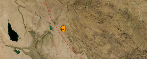
Image credit: USGS
7 strong earthquakes shook border region of Iran and Iraq in last 48 hours. The first in series was M 5.4 that struck 26 km W of Sarpol-E Zahab, Iran at 06:51 UTC on November 22. Recorded depths range from 9.9 to 14 km. Magnitudes range from 4.2 to 5.6.
GDACS estimates there are 1 577 063 people living within 100 km radius.
- M 5.4 26km W of Sarpol-e Zahab, Iran on 2013-11-22 at 06:51:25 UTC. Depth: 10.5 km
- M 5.6 21km SW of Sarpol-e Zahab, Iran on 2013-11-22 at 18:30:58 UTC. Depth: 14.0 km
- M 4.4 38km N of Mandali, Iraq on 2013-11-22 at 21:02:32 UTC. Depth: 9.9 km
- M 5.2 26km SW of Sarpol-e Zahab, Iran on 2013-11-23 at 23:26:20 UTC. Depth: 10.0 km
- M 4.2 45km SW of Sarpol-e Zahab, Iran on 2013-11-24 at 06:56:56 UTC. Depth: 9.9 km
- M 5.3 41km N of Mandali, Iraq on 2013-11-24 at 18:03:12 UTC. Depth: 10.2 km
- M 5.4 37km SW of Sarpol-e Zahab, Iran on 2013-11-24 at 18:05:40 UTC. Depth: 10.2 km
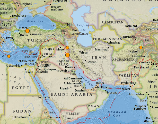
Earthquakes in last 30 days. Source and image credit: USGS
Off the south coast of Pakistan and southeast coast of Iran, the Makran trench is the present-day surface expression of active subduction of the Arabia plate beneath the continental Eurasia plate, which converge at a rate of approximately 20 mm/yr. Although the Makran subduction zone has a relatively slow convergence rate, it has produced large devastating earthquakes and tsunamis. For example, the November 27, 1945 M8.0 mega-thrust earthquake produced a tsunami within the Gulf of Oman and Arabia Sea, killing over 4,000 people. Northwest of this active subduction zone, collision of the Arabia and Eurasia plates forms the approximately 1,500-km-long fold and thrust belt of the Zagros Mountains, which crosses the whole of western Iran and extends into northeastern Iraq. Collision of the Arabia and Eurasia plates also causes crustal shortening in the Alborz Mountains and Kopet Dag in northern Iran. Eastern Iran experiences destructive earthquakes that originate on both strike-slip and reverse faults. For example, the 16 September 1978 M7.8 earthquake, along the southwest edge of the Dasht-e-Lut Basin killed at least 15,000 people (USGS).
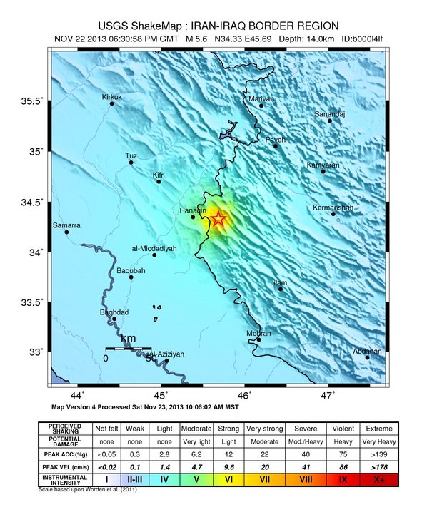
M 5.6 earthquake recorded on November 22, 2013 at 06:30 UTC. Depth was 14.0 km. Image credit: USGS
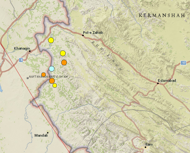
M 1.0 + earthquakes (7) on November 24, 2013. Image credit: USGS

Seismotectonics of the Middle East and vicinity. Image credit: USGS
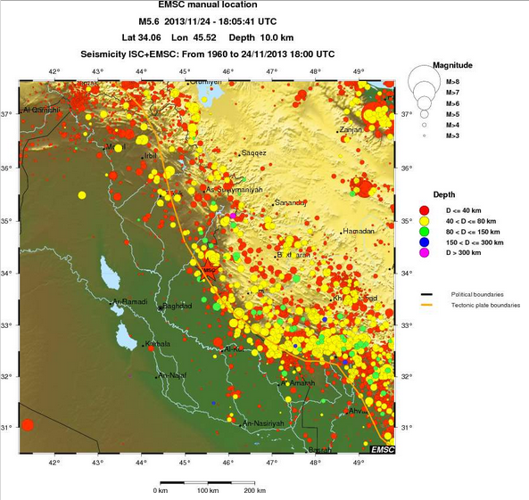
Seismicity of the area since 1960. Image credit: ISC/EMSC
I'm a dedicated researcher, journalist, and editor at The Watchers. With over 20 years of experience in the media industry, I specialize in hard science news, focusing on extreme weather, seismic and volcanic activity, space weather, and astronomy, including near-Earth objects and planetary defense strategies. You can reach me at teo /at/ watchers.news.
and as i said ..its because satellites in space are picking up extreme electro magnetic fluctuations and ionisation of the atmosphere over that region of the world and have been for some time that military intelligence have made up this bull about signing deals not to enrich uranium to such a high degree….its because they expect some massive quakes that will turn that region of the world into fukushima 2.0….
http://www.bing.com/search?q=satellite+detect+before+earthquake&src=IE-SearchBox&Form=IE8SRC