
Very strong 6.7 magnitude earthquake hit Vanuatu
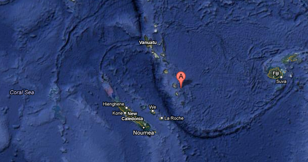
Image credit: Google Earth
Very strong earthquake of magnitude 6.7, reported by USGS, hit Vanuatu on Friday, March 09, 2012 at 07:09:54 UTC. First reported magnitude was 7,1, later downgraded to 6,7. So far there are no reports on damage. Reported depth is 36.8 km (22.9 miles). The nearest populated places are: Isava (15km). The closest civilian airport is Aniwa (17km). Epicenter was 61 km (37 miles) NE of Isangel, Tanna, Vanuatu and 206 km (128 miles) SE of PORT-VILA, Efate, Vanuatu.
The maximum estimated Tsunami wave height was 0.2m for Isavai, Vanuatu. This height was estimated to be reached 00:11 hours after the start of the event.
No destructive widespread tsunami threat exists based on historical earthquake and tsunami data. However, earthquakes of this size sometimes generate local tsunamis that can be destructive along coasts located within a hundred kilometres of the earthquake epicenter.
| Magnitude | 6.7 |
|---|---|
| Date-Time |
|
| Location | 19.109°S, 169.625°E |
| Depth | 36.8 km (22.9 miles) |
| Region | VANUATU |
| Distances | 61 km (37 miles) NE of Isangel, Tanna, Vanuatu 206 km (128 miles) SE of PORT-VILA, Efate, Vanuatu 325 km (201 miles) NE of Tadine, Loyalty Islands, New Caledonia 1934 km (1201 miles) ENE of BRISBANE, Queensland, Australia |
| Location Uncertainty | horizontal +/- 14.8 km (9.2 miles); depth +/- 9.2 km (5.7 miles) |
| Parameters | NST= 90, Nph= 91, Dmin=466.4 km, Rmss=0.94 sec, Gp= 29°, M-type=regional moment magnitude (Mw), Version=7 |

I'm a dedicated researcher, journalist, and editor at The Watchers. With over 20 years of experience in the media industry, I specialize in hard science news, focusing on extreme weather, seismic and volcanic activity, space weather, and astronomy, including near-Earth objects and planetary defense strategies. You can reach me at teo /at/ watchers.news.
Commenting rules and guidelines
We value the thoughts and opinions of our readers and welcome healthy discussions on our website. In order to maintain a respectful and positive community, we ask that all commenters follow these rules.