
Yellowstone volcanic plume much larger than expected
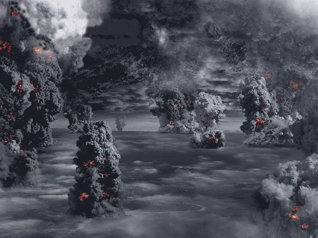
Image credit: TW
Yellowstone National Park hosts a variety of hot springs and geysers, all powered by a plume of molten rock under its surface. At times in the past, that plume has powered activity that was quite a bit less scenic: massive eruptions that have been capable of covering roughly half of North America with ash. Thus, understanding the structure and evolution of this hotspot has an immense practical value. Now, thanks to an array of sensors funded by the National Science Foundation and some new computing techniques, some researchers have produced a new image of the plume, one that suggests the area of elevated temperatures is much larger than previously suspected. Yellowstone sits on the same sort of mantle plume that powers the Hawaiian volcanoes. Since it’s located in the middle of a continental plate, however, the behavior is quite different. Instead of relatively steady flows of molten rock, mid-continent hotspots tend to produce rare, explosive eruptions. Yellowstone’s major eruptions have been separated by hundreds of thousands of years, and have packed an astonishing punch, with each eruption being thousands of times more potent than Mt. St. Helens.  Past imaging efforts have used seismic waves to detect the border between molten and solid rock. These have indicated that the mantle plume originates somewhere deep under Idaho and slopes eastward as it rises to meet the surface under Wyoming. The new picture roughly agrees with this, but suggests the area heated by the plume may be far more extensive than indicated by the seismic data. It relies on what is termed magneto-telluric (MT) readings, which register subtle changes in the Earth’s conductivity and magnetic fields. These register differences in temperature and composition of the rock and fluids, as these change alter the conductivity of the crust. MT data was a bit hard to come by, but the National Science Foundation’s Earth Scope grid has produced readings from a regularly spaced network of sensors across the western US. The authors were able to get readings from hundreds of stations across most of Idaho, Montana, and Wyoming to image the plume underneath Yellowstone. Converting subtle differences in conductivity into a detailed map of underground structures is a rather complicated task, and a large portion of the paper is devoted to describing the computational methods that made it possible. Most of these involved adapting known solutions so that they could be run in parallel and lowering the memory requirements for the production of a single volume of the Earth’s crust. Both the generation of the cells used (which were 4km on a side) and the calculations themselves were parallelized, allowing the reconstruction to be run on a computing grid in a reasonable amount of time. The resulting picture suggests that the molten rock of the mantle plume seen in seismic images is only the core of a much larger volume of hot crust. Although this area isn’t molten, the high temperatures allow water to pick up elevated levels of salt, which enables its detection through the MT monitoring equipment. The plume itself seems to slope down a bit more gently, and extend much further under Idaho than the seismic data had suggested. The MT data also confirms suggestions that the rock within the plume doesn’t become molten until it reaches a depth of about 250km. The new data provides an alternate view of the mantle plume that powers Yellowstone, one that adds to the picture painted by existing seismic data. And the techniques developed here should be applicable to other areas of the US West as more data from the Earth Scope grid becomes available. (ArsTechnica)
  During the month of March 2011, the University of Utah located 59 earthquakes within Yellowstone National Park. The largest earthquake was a magnitude 2.4, located about 4 miles west of Norris Junction, YNP that occurred on March 2 at 10:17 PM MST. No earthquake swarms were recorded in March. The period of caldera uplift that began in 2004 ended about one year ago. Since then, the caldera has been subsiding, though seasonal deformation from ground water changes may temporarily mask the trend. The amount of subsidence so far is about 3 cm, or about 1/8 of the total uplift between 2004 and 2010.
University of Utah Seismograph Stations

Yellowstone, one of the world’s largest active volcanic systems, has produced several giant volcanic eruptions in the past few million years, as well as many smaller eruptions and steam explosions. Although no eruptions of lava or volcanic ash have occurred for many thousands of years, future eruptions are likely. In the next few hundred years, hazards will most probably be limited to ongoing geyser and hot-spring activity, occasional steam explosions, and moderate to large earthquakes. To better understand Yellowstone’s volcano and earthquake hazards and to help protect the public, the U.S. Geological Survey, the University of Utah, and Yellowstone National Park formed the Yellowstone Volcano Observatory, which continuously monitors activity in the region. Yellowstone is home to one of the world’s largest active volcanic systems. Cataclysmic eruptions in the past few million years created huge volcanic depressions called “calderas.” The youngest, the Yellowstone Caldera, was formed 640,000 years ago. Since then, about 80 eruptions of rhyolite (thick, sticky lava) and basalt (more-fluid lava) have occurred. The caldera’s interior is largely covered by rhyolites, most erupted in the past 160,000 years. Large hydrothermal (steam)-explosion craters formed in the past 14,000 years are located near Yellowstone Lake and in major geyser basins. Recent earthquakes (1973 to 2002) were concentrated between Hebgen Lake and the Norris Geyser Basin and along faults.
Yellowstone Volcano Observatory
Since its last cataclysmic volcanic eruption 640,000 years ago, the Yellowstone region has had about 40 eruptions of slow-moving lava flows of rhyolite (a variety of molten rock that is thick and sticky). Some of these flows cover more than 100 square miles, and many are very thick, like this approximately 180,000-year-old rhyolite flow exposed at Obsidian Cliff. Although no lava has been erupted at Yellowstone for 70,000 years, future such eruptions are likely to occur.  Scientists evaluate natural-hazard levels by combining their knowledge of the frequency and the severity of hazardous events. In the Yellowstone region, damaging hydrothermal explosions and earthquakes can occur several times a century. Lava flows and small volcanic eruptions occur only rarely—none in the past 70,000 years. Massive caldera-forming eruptions, though the most potentially devastating of Yellowstone’s hazards, are extremely rare—only three have occurred in the past several million years. U.S. Geological Survey, University of Utah, and National Park Service scientists with the Yellowstone Volcano Observatory (YVO) see no evidence that another such cataclysmic eruption will occur at Yellowstone in the foreseeable future. Recurrence intervals of these events are neither regular nor predictable.
  Volcanic and hydrothermal activity in the Yellowstone area is fueled by a large reservoir of magma (partially molten rock) beneath a caldera (volcanic depression) that formed in a cataclysmic eruption 640,000 years ago. The magma reservoir includes both rhyolitic magma, rich in silica (SiO2), and basaltic magma, which contains less SiO2 and is denser. Capping the magma reservoir is a zone of hot, ductile rock that can slowly flow to close any fractures and is therefore relatively impermeable (meaning that fluids cannot easily pass through). The cooler rock above behaves in a more brittle manner and can be readily fractured. Sometimes the impermeable rock can be ruptured, allowing hot, salty fluids to escape upward and laterally, moving through cracks in brittle rock. As shown in this diagram, such a fluid release in 1985 is thought to have triggered a large swarm of earthquakes just northwest of the caldera. (USGS/YVO) Geophysical Research Letters, 2011. DOI: 10.1029/2011GL046953 (About DOIs).
New Study Reveals Gassy Link to Past Earthquake Swarm Steam Explosions, Earthquakes, and Volcanic Eruptions—What’s in Yellowstone’s Future? Tracking Changes in Yellowstone’s Restless Volcanic System Yellowstone Recent Status Report, Updates, and Information Releases
Commenting rules and guidelines
We value the thoughts and opinions of our readers and welcome healthy discussions on our website. In order to maintain a respectful and positive community, we ask that all commenters follow these rules.