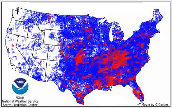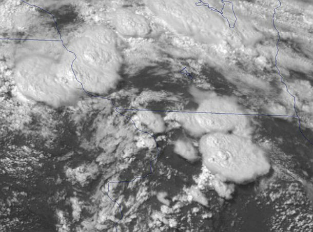
• Mid-June East Coast low-end derecho satellite imagery by GOES-14

    For the past week, forecast models showed unstable conditions that could lead to significant severe weather events. NOAA put the GOES-14 satellite in Super Rapid Scan Operations mode on June 12 and 13, 2013 to monitor the ongoing severe bow echo/low-end
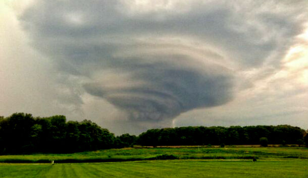
  • Mid-Atlantic US hit by severe weather outbreak

    A massive storm system swept across the Midwestern U.S. late on June 12, 2012 and is continuing to move across the Mid-Atlantic. It was expected that the system becomes derecho, however that didn't realize. The most intense areas were along the Ohio-West

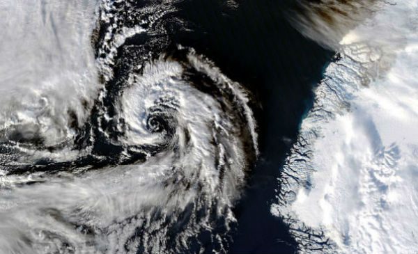
  • Powerful Arctic storm ‘bombing out’ in North Atlantic

    Ten  days after a severe storm underwent a process of rapid intensification over the North Pacific Ocean, pummeling the western Aleutian Islands of Alaska with hurricane force winds and high waves, another serious storm system is taking place right now in the open

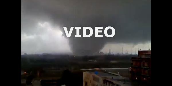
  • Huge tornado in Taranto, Italy on November 28, 2012

    There have been a number of tornadoes in unusual parts of the world in the last couple of months. One of the most unusual struck Italian city of Taranto on November 28, 2012.The whole of Italy and the western Mediterranean is currently under the sway of a powerful

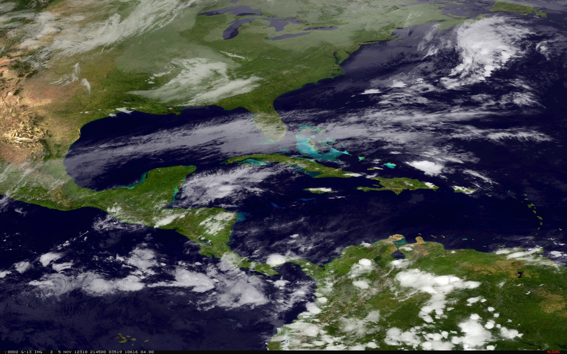
  • Nor’easter to be weaker than expected

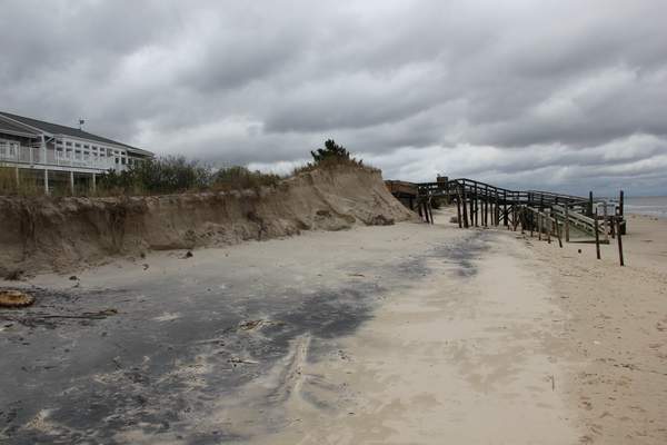
    An early-season nor’easter storm will bring another round of coastal flooding in areas hardest hit by Hurricane Sandy Wednesday into Thursday. It is now forecast to be weaker and move farther offshore than originally forecast. That’s good news for New Jersey and New

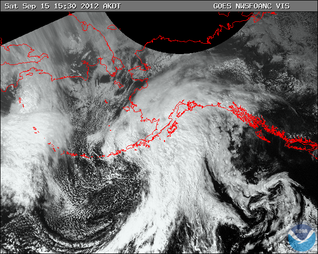
  • Powerful windstorm threatening south-central Alaska

    The strong low pressure system is  strengthening in the western Gulf of Alaska and over the Aleutian Islands. A rare and powerful storm system is set to slam into south-central Alaska this weekend.The low  flows over water so there will be no interaction with land