• Tropical Storm Khanun aims Korea peninsula

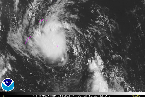
    According to Joint Typhoon Warning Center (JTWC), Khanun’s maximum sustained winds had increased to 50 knots (93 km/h) with gusts up to 65 knots (120 km/h). Center of the storm is located about 280 nm south of Cheju-Do and it is moving north-northwestward at speed of
  • Tropical Storm Khanun heading toward Japan and Korea

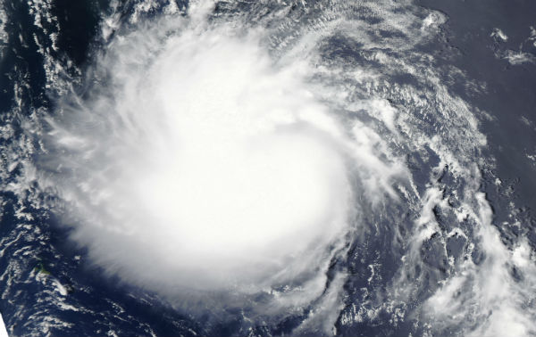
    Tropical Storm Khanun (ENTENG) is the 7th named Tropical Storm in the West Pacific Ocean. It is expected to affect Japan and probably making landfall somewhere in Korea peninsula. However it is not expected to strengthen into a Typhoon status for now. More rains form

  • Fabio weakens and expected to turn northward

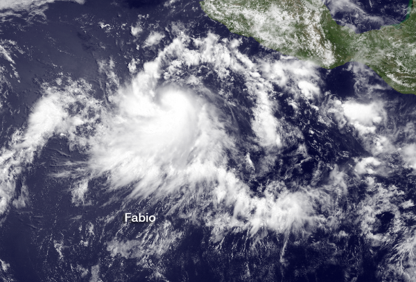
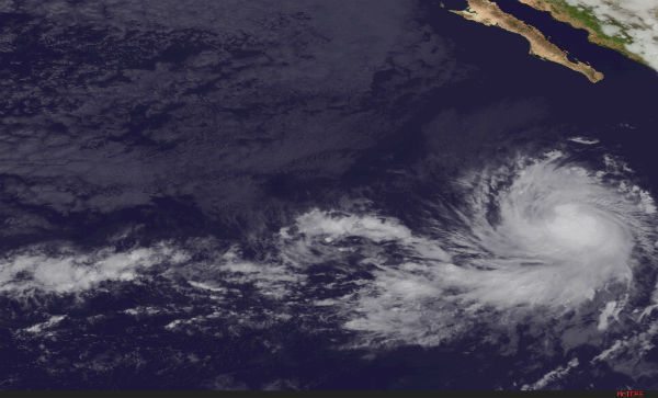
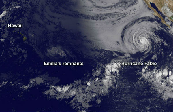
    Tropical Storm Fabio continues to churn over the open waters of the Eastern Pacific as it tracks toward the northwest into cooler waters which is expected to weaken the tropical cyclone down to depression status. Although the current track keeps Fabio away from land,

  • Tropical Storm Fabio forms in Eastern Pacific

    Tropical Storm Fabio has formed in the east Pacific, near Clipperton Island and it is the sixth named storm of the 2012 Eastern Pacific Hurricane Season. Fabio could take a northward turn by next week. According to US National Hurricane center’s latest public

  • Three storms swirling across Pacific Ocean

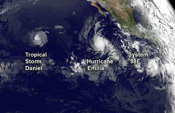
    Three storm systems are trailing one another across the Pacific Ocean basin. Tropical Storm Daniel is moving west toward Hawaii, followed by Hurricane Emilia. Just off the coast of Mexico, another possible tempest, known as System 98E, is brewing. National Hurricane

  • Tropical Storm Daniel likely to become Pacific hurricane

    Tropical Storm Daniel has formed in the eastern Pacific and it shows signs of further strengthening.According to US National Hurricane Center’s (NHC) latest public advisory, the center of Tropical Storm Daniel was located near latitude 14.2N and longitude 11.7W and

  • Tropical Depression 4E near Mexico getting better organized

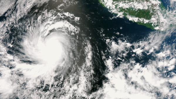
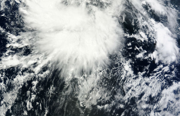
    A new tropical depression formed in the Eastern Pacific Basin along with a second tropical wave which may develop this weekend.  it is expected that this depression will strengthen into Tropical Storm “Daniel” which is the next name on the Eastern Pacific

  • New tropical cyclone forming in South China Sea

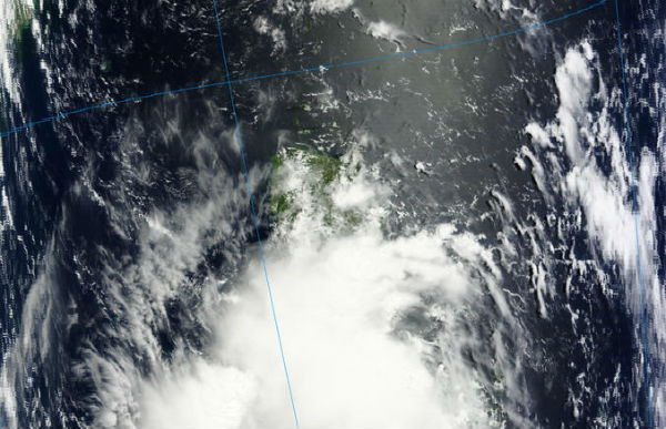
    Formation of significant tropical cyclone is possible within 165 nm either side of a line from 15.9N 120.2E to 18.7N 114.9E within next 12 to 24 hours according to latest warning issued by Joint typhoon Warning Center (JTWC). The system is located 110 nm