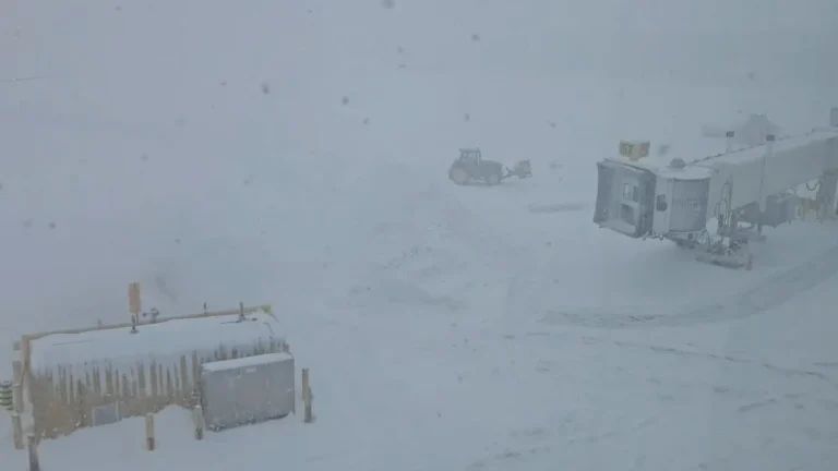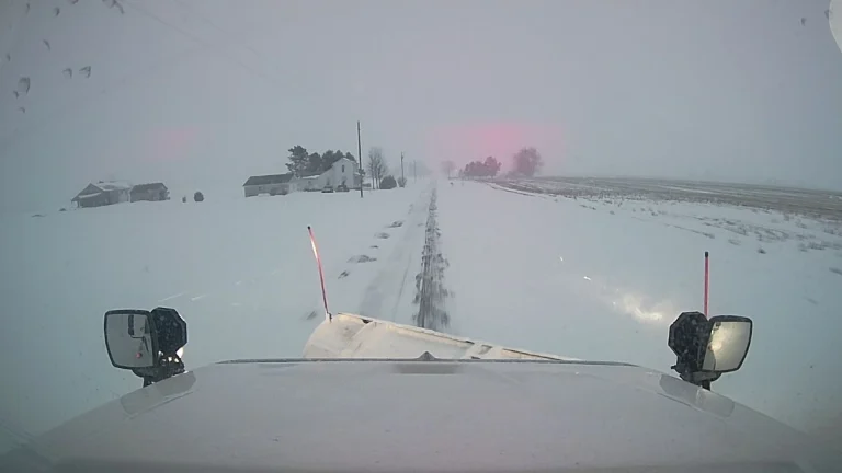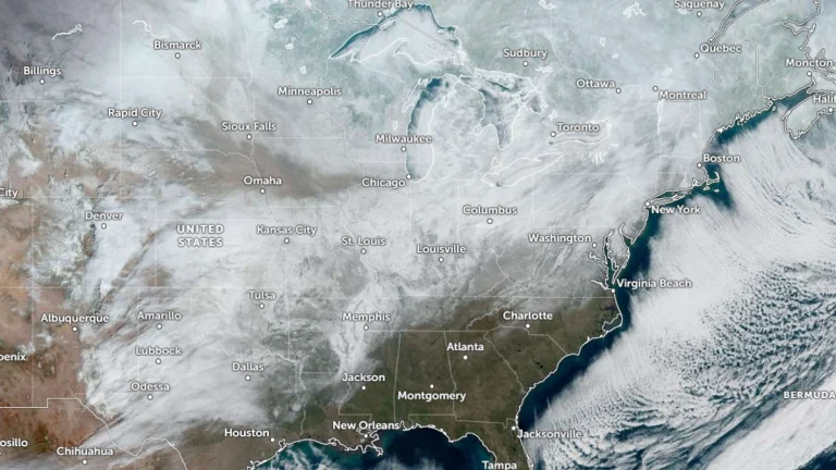
• Another Arctic blast forecast for the weekend as life-threatening cold continues across the Eastern U.S.

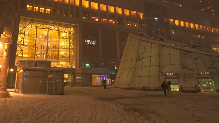
    Life-threatening cold and wind chills are forecast to continue across the eastern half of the Lower 48 during the final week of January into early February. Another surge of Arctic air is forecast to spread from the Plains into the East and Southeast between Friday and Saturday, January 30–31, bringing a renewed threat of additional record low temperatures, including across parts of Florida.
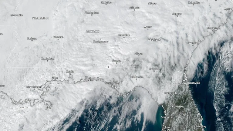
  • EF-2 tornado hits downtown Geneva, Alabama, strongest since December 2000

    An EF-2 tornado struck the city of Geneva in southeastern Alabama during the evening of January 25, 2026, causing structural damage across parts of the city and nearby areas. The tornado was confirmed by the National Weather Service following a damage survey completed on January 26 and was rated EF-2 – strong enough to cause roof damage, snapped trees, and power disruptions.

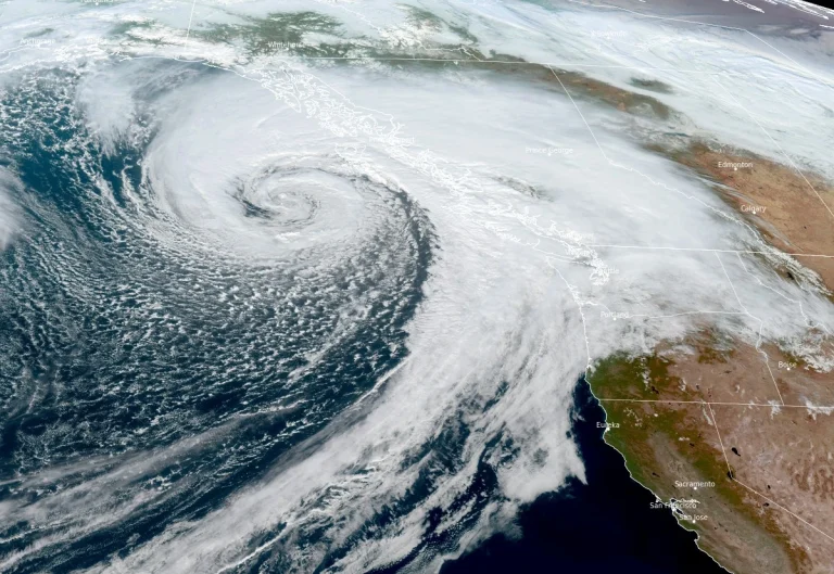
  • Series of atmospheric rivers forecast to bring heavy rain to the Pacific Northwest this week

    Four atmospheric rivers (ARs) are forecast to impact the Pacific Northwest from Tuesday, January 28 through January 31, 2026, bringing several days of moderate to heavy precipitation, with rainfall totals reaching 125–250 mm (5–10 inches) over the Olympic Peninsula and 50–125 mm (2–5 inches) across the Willapa Hills, northern Oregon Coast Ranges, and Washington Cascades.

  • Record snow buries Sapporo, 10 fatalities reported across Japan

    At least ten people were killed across Japan in late January 2026 as heavy snowfall and repeated cold waves affected wide areas of the country. Sapporo surpassed total accumulations of over 1 m (3.3 feet) for the first time since 2022 on Sunday, January 25, while accumulations at Hakkōda Mountains in Aomori reached around 4.5 m (14.8 feet) by Monday, January 26. More snow and strong winds are forecast along the Sea of Japan coast through this week as a cold air mass intensifies.

  • NWS data show heavy snow and significant ice from the January 2026 U.S. winter storm

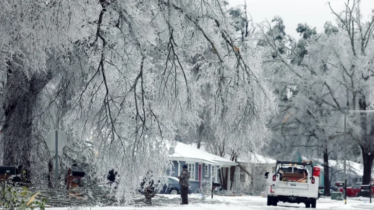
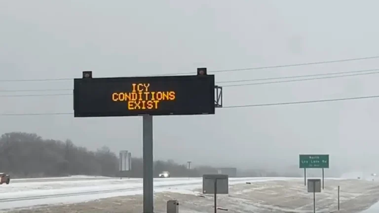
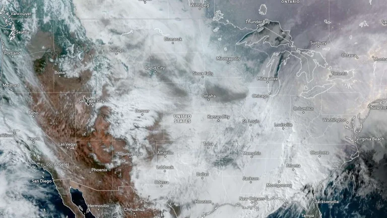
    Official data from the National Weather Service Weather Prediction Center (WPC) confirms widespread snow, sleet, and freezing rain accumulations across large portions of the United States during the January 23–26, 2026, winter storm. Preliminary data show snowfall exceeded 50 cm (20 inches) in parts of New England and the interior Northeast, while ice accretions reached 25 mm (1 inch) across portions of the Carolinas and northern Georgia. The system’s departure early on January 26 ended four days of significant winter weather affecting more than a dozen states.

  • Toronto Pearson sets all-time daily snowfall record as January 2026 becomes snowiest month since records began, Canada

    A powerful winter storm delivered record-breaking snowfall across Toronto, Ontario, Canada, on January 25, 2026, with 46 cm (18.1 inches) measured at Toronto Pearson International Airport as of 05:00 LT on January 26. This marks the highest single-day snowfall recorded since observations at the airport began in 1937. The event established new daily and monthly records for the site and caused widespread disruption across the Greater Toronto Area.

  • Major U.S. winter storm claims at least 24 lives in 14 states, leaves over 1 million customers without power

    A major winter storm swept across the eastern two-thirds of the U.S. over the weekend, claiming at least 24 lives as of Monday, January 26, 2026. Over a million customers, roughly 2.5 million people, were left without power as snowstorms hit the northern and northeastern regions, while freezing rain and ice storms wreaked havoc in the south. States of emergency have been declared across multiple regions as the storm’s impacts linger.