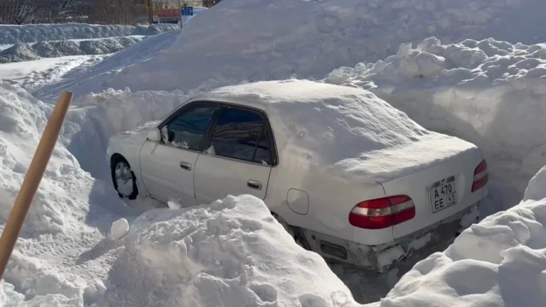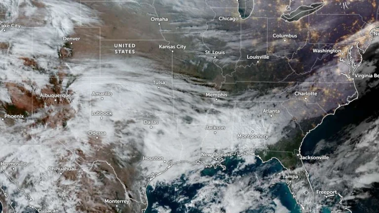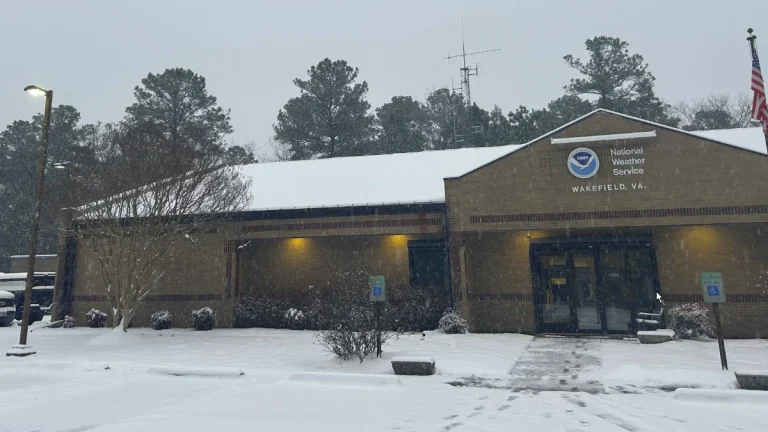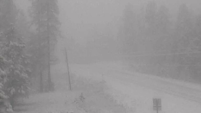
Long-duration power outages and extremely hazardous travel expected as major winter storm spreads from the Southern Plains to the Northeast
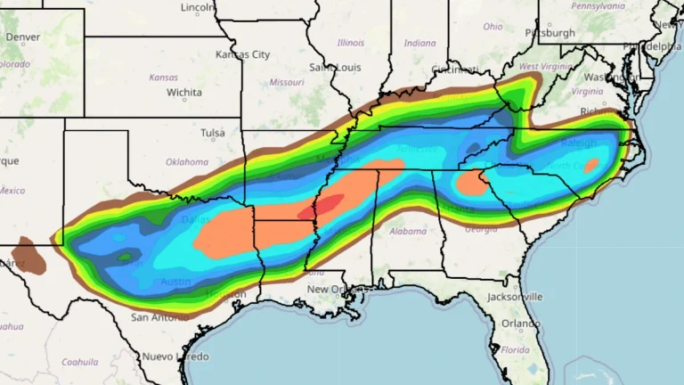
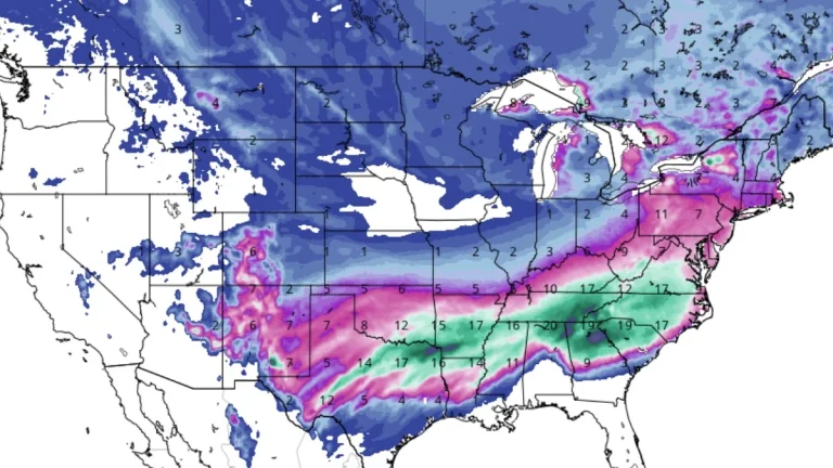
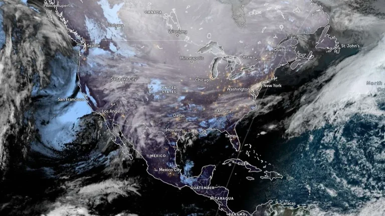
The National Weather Service (NWS) warns of catastrophic ice accumulation from the Southern Plains to the Southeast as a major winter storm develops and tracks northeastward from January 23 to 26, 2026. The storm is forecast to produce widespread freezing rain, heavy snow, and dangerously cold temperatures, threatening critical infrastructure and travel across much of the eastern United States.