Shallow M6.0 earthquake hits west of Macquarie Island
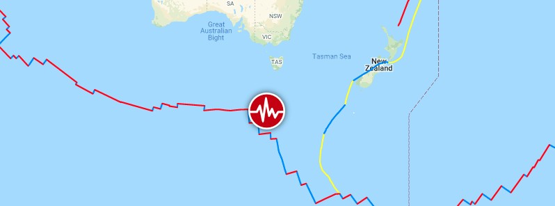
A strong and shallow earthquake registered by the USGS as M6.0 hit west of Macquarie Island, South Pacific Ocean at 15:21 UTC on May 7, 2021. The agency is reporting a depth of 10 km (6.2 miles). EMSC is reporting M6.0 at a depth of 23 km (14 miles).
The epicenter was located 1 260 km (783 miles) S of Geeveston and 1 285 km (800 miles) SSW of Kingston, Australia.
There are no people living within 100 km (62 miles).
The USGS issued a green alert for shaking-related fatalities and economic losses. There is a low likelihood of casualties and damage.
There is no tsunami threat from this earthquake.
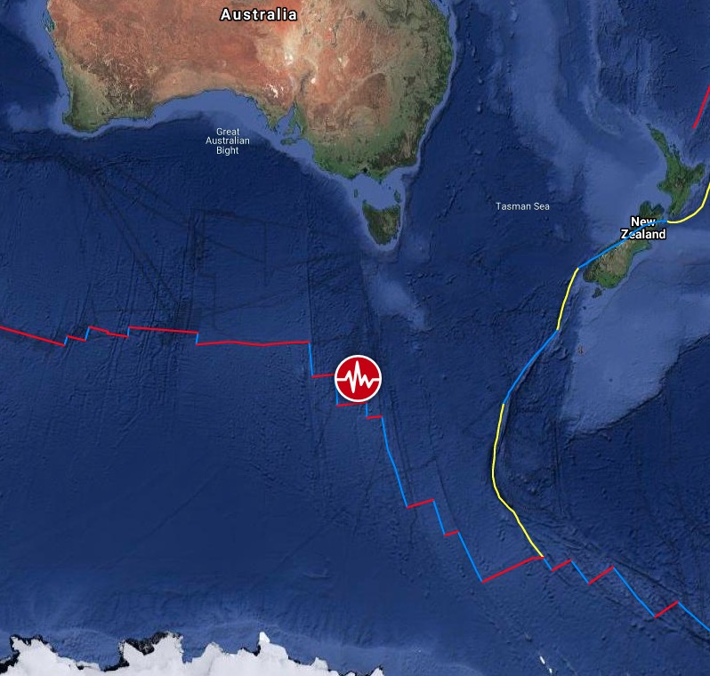
Image credit: TW/SAM, Google
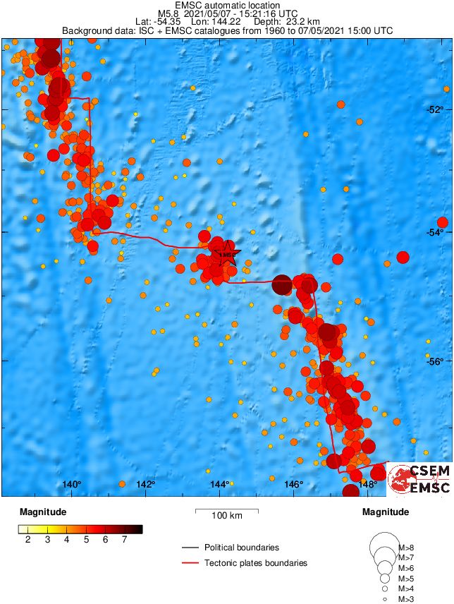
Regional seismicity
Featured image credit: TW/SAM, Google
Commenting rules and guidelines
We value the thoughts and opinions of our readers and welcome healthy discussions on our website. In order to maintain a respectful and positive community, we ask that all commenters follow these rules.