
Eruptions at Mount Sinabung, Alert Level remains at 3 of 4, Indonesia
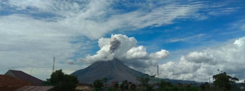
Image credit: PVMBG webcam
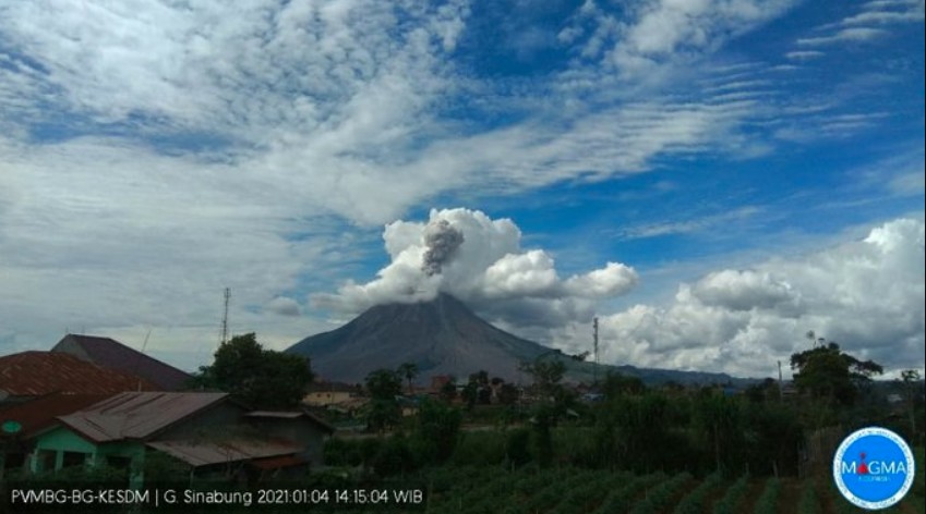
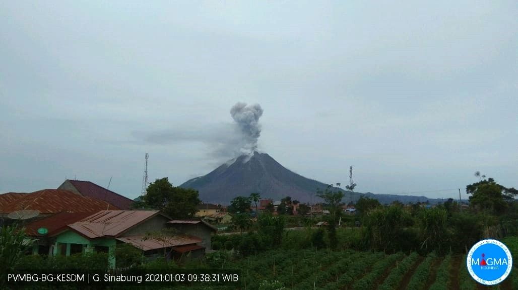
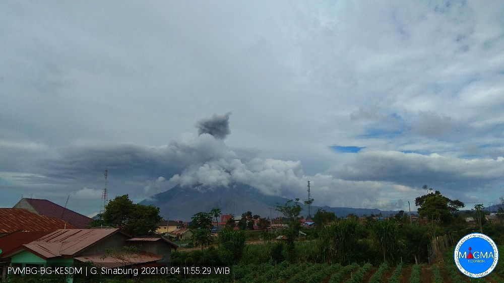
A series of eruptions took place at the Indonesian Sinabung volcano over the past couple of days, with ash rising up to 3.6 km (12 000 feet) a.s.l. Unfortunately, frequent meteorological clouds are preventing clear observations.
Three eruptions, each lasting several minutes, were recorded on Monday, January 4, with ash cloud rising up to 3.6 km (12 000 feet) above sea level.
Another eruption accompanied by ash plume to about 3 km (10 000 feet) a.s.l. started at 01:44 UTC on January 5 and lasted for about 95 seconds.
The Alert Level remains at 3 (of 4) and the Aviation Color Code at Orange.
The public and visitors / tourists are advised not to carry out any activities in villages that have been relocated, as well as locations within a radius of 3 km (1.8 miles) from the summit and 5 km (3.1 miles) in the SE sector / 4 km (2.5 miles) in the NE sector.
In the case of ashfall, residents are advised to wear masks when leaving the house to reduce the health effects of volcanic ash, secure clean water facilities and clean the roofs of houses from dense volcanic ash so that they do not collapse.
People living near the rivers that originate at the volcano are urged to stay alert to the dangers of lava.
Teramati guguran lava pijar G. Sinabung, Tgl 03-01-2020 pada pukul 21.04 WIB, ke arah timur-tenggara jarak luncur 1000 m pic.twitter.com/YZhQJ2ItUs
— Rizal (@Rizal06691023) January 4, 2021
Incandescent rockfall from the lava dome of Sinabung volcano in North Sumatra, Indonesia – last night 3rd January.
:Sadrah ps pic.twitter.com/TrDaxRWJaP
— Øystein Lund Andersen (@OysteinVolcano) January 4, 2021
Geological summary
Gunung Sinabung is a Pleistocene-to-Holocene stratovolcano with many lava flows on its flanks. The migration of summit vents along a N-S line gives the summit crater complex an elongated form.
The youngest crater of this conical, 2 460 m (8 070 feet) high andesitic-to-dacitic volcano is at the southern end of the four overlapping summit craters.
An unconfirmed eruption was noted in 1881, and solfataric activity was seen at the summit and upper flanks in 1912.
No confirmed historical eruptions were recorded prior to explosive eruptions during August – September 2010 that produced ash plumes to 5 km (16 404 feet) above the summit. (GVP)
I'm a dedicated researcher, journalist, and editor at The Watchers. With over 20 years of experience in the media industry, I specialize in hard science news, focusing on extreme weather, seismic and volcanic activity, space weather, and astronomy, including near-Earth objects and planetary defense strategies. You can reach me at teo /at/ watchers.news.
Commenting rules and guidelines
We value the thoughts and opinions of our readers and welcome healthy discussions on our website. In order to maintain a respectful and positive community, we ask that all commenters follow these rules.